Kenmore — McNair
Kenmore — Champion
Kenmore — Holstein
Kenmore — Laguna Beach
Kenmore — Glen Ullin
Kenmore — Bolt
Kenmore — Mascoutah
Kenmore — Fannin
Kenmore — Fitchburg
Kenmore — Cameron
Kenmore — Brownstown Charter Township
Kenmore — Slana
Kenmore — Maybrook
Kenmore — Lumpkin County
Kenmore — Sussex County
Kenmore — Martin
Kenmore — Shannock
Kenmore — Lyons
Kenmore — Eola
Amherst
Williamsville
Bowmansville
Clarence
Elba
South Byron
Le Roy
Riga
Mumford
Rochester
Pittsford
Shortsville
Oaks Corners
Seneca Falls
Weedsport
Elbridge
Van Buren
Liverpool
Syracuse
North Syracuse
East Syracuse
Fayetteville
Chittenango
Canastota
Oneida
Verona
Oriskany
Whitesboro
Utica
Ilion
Mohawk
Herkimer
Palatine Bridge
Fultonville
Amsterdam Airfield
Amsterdam
Pattersonville
Schenectady County
Rotterdam
Guilderland
Delmar
Albany
Glenmont
Selkirk
Schodack Landing
Niverville
East Chatham
Austerlitz
West Stockbridge
Stockbridge
Lee
Tyringham
Blandford
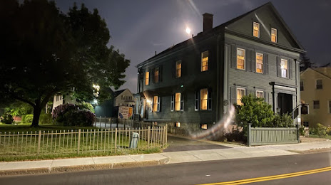
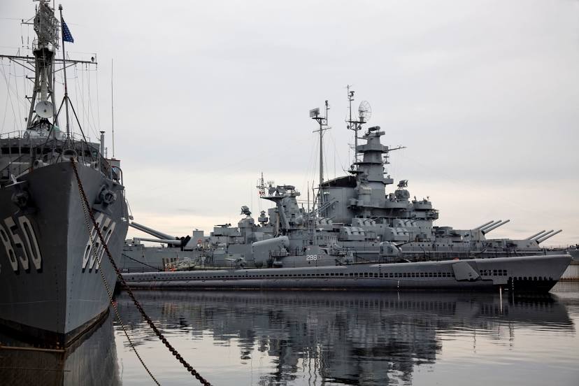
Kenmore — Fall River distance, route on the map
Distance by car
Distance between Kenmore, New York, United States and Fall River, Massachusetts, United States by car is — km, or miles. To travel this distance by car, you need minute, or h.
Route on the map, driving directions
Car route Kenmore — Fall River was created automatically. The road on the map is shown as a blue line. By moving the markers, you can create a new route through the points you need.
Passing cities through which the car route passes: Buffalo, Amherst, Williamsville, Bowmansville, Clarence, Elba, South Byron, Le Roy, Riga, Mumford, Rochester, Pittsford, Shortsville, Oaks Corners, Seneca Falls, Weedsport, Elbridge, Van Buren, Liverpool, Syracuse, North Syracuse, East Syracuse, Fayetteville, Chittenango, Canastota, Oneida, Verona, Oriskany, Whitesboro, Utica, Ilion, Mohawk, Herkimer, Palatine Bridge, Fultonville, Amsterdam Airfield, Amsterdam, Pattersonville, Schenectady County, Rotterdam, Guilderland, Delmar, Albany, Glenmont, Selkirk, Schodack Landing, Niverville, East Chatham, Austerlitz, West Stockbridge, Stockbridge, Lee, Tyringham, Blandford.
Distance by plane
If you decide to take a trip Kenmore Fall River by plane, then you have to fly the distance — 649 km or 402 miles. It is marked on the map with a gray line (between two points in a straight line).
Flight time
Estimated flight time Kenmore Fall River by plane at cruising speed 750 km / h will be — 51 min.
Direction of movement
United States, Kenmore — right-hand traffic. United States, Fall River — right-hand traffic.
Difference in time
Kenmore and Fall River are in the same time zone. Between them there is no time difference (UTC -4 America/New_York).
Interesting Facts
Information on alternative ways to get to your destination.
The length of this distance is about 1.6% of the total length of the equator.
The cost of travel
Calculate the cost of the trip yourself using the fuel consumption calculator, changing the data in the table.