
 Royuela
Sevilla
The Basque Country
Catalonia
Villegas
Sant Pere
L'Hospitalet de l'Infant
Aragon
Port d'Andratx
Ciudad Lineal
Navarre
Barahona
Banyalbufar
Liwa
Orense
Toledo
Auritz
Lazkao
White hair
Royuela
Sevilla
The Basque Country
Catalonia
Villegas
Sant Pere
L'Hospitalet de l'Infant
Aragon
Port d'Andratx
Ciudad Lineal
Navarre
Barahona
Banyalbufar
Liwa
Orense
Toledo
Auritz
Lazkao
White hair
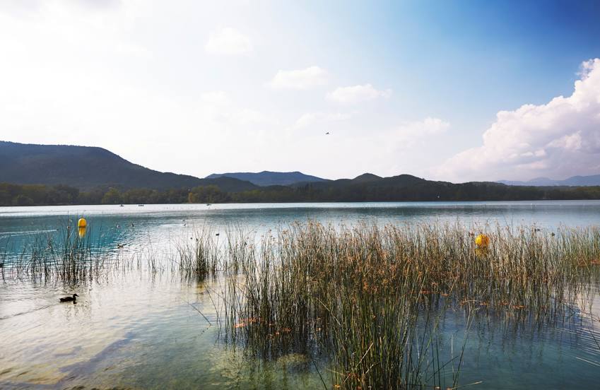
Banyoles on the map, Spain
Where is located Banyoles
Exact location — Banyoles, Girona, Catalunya, Spain, marked on the map with a red marker.
Coordinates
Banyoles, Spain coordinates in decimal format: latitude — 42.1181833, longitude — 2.7651488. When converted to degrees, minutes, seconds Banyoles has the following coordinates: 42°7′5.46 north latitude and 2°45′54.54 east longitude.
Population
Banyoles, Girona, Catalunya, Spain, according to our data the population is — 18,327 residents, which is about 0% of the total population of the country (Spain).
Comparison of the population on the graph:
Exact time
Time zone for this location Banyoles — UTC +2 Europe/Madrid. Exact time — wednesday, 5 may 2024 year, 15 h. 20 minutes.
Sunrise and sunset
Banyoles, sunrise and sunset data for a date — wednesday 1.05.2024.
| Sunrise | Sunset | Day (duration) |
|---|---|---|
| 06:47 -1 minute | 20:44 +1 minute | 14 h. 0 minutes. +2 minutes |
You can control the scale of the map using the auxiliary tools to find out exactly where it is located Banyoles. When you change the scale of the map, the width of the ruler also changes (in kilometers and miles).
Nearby cities
The largest cities that are located nearby:
- Perpignan
 (France) — 64 km
 - Mataró — 69 km
- Sabadell — 83 km
- Badalona — 86 km
- Santa Coloma de Gramenet — 88 km
- Terrassa — 88 km
- L'Hospitalet de Llobregat — 99 km
- Tarragona — 168 km
- Lleida — 186 km
- Montpellier (France) — 187 km
- Toulouse (France) — 195 km
- Nimes (France) — 229 km
- Marseille (France) — 247 km
- Aix-en-Provence (France) — 266 km
- Toulon (France) — 278 km
- Palma — 282 km
- Zaragoza — 306 km
- Pamplona — 366 km
- Saint-Étienne (France) — 388 km
Distance to neighboring capitals:
- Andorra la Vella
 (Andorra) — 111 km
 - Paris (France) — 750 km
- Paris (France) — 750 km
- Lisbon
 (Portugal) — 1075 km
 - Rabat
 (Morocco) — 1235 km
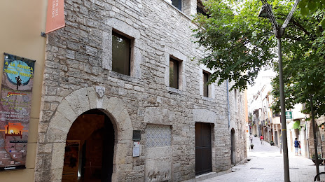
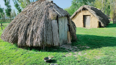
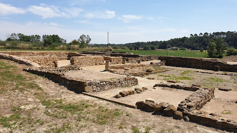
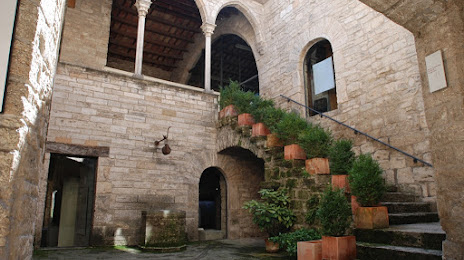
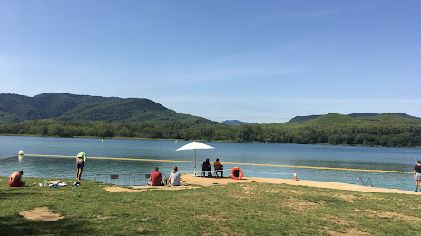
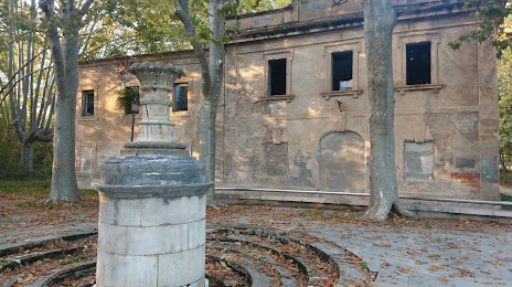
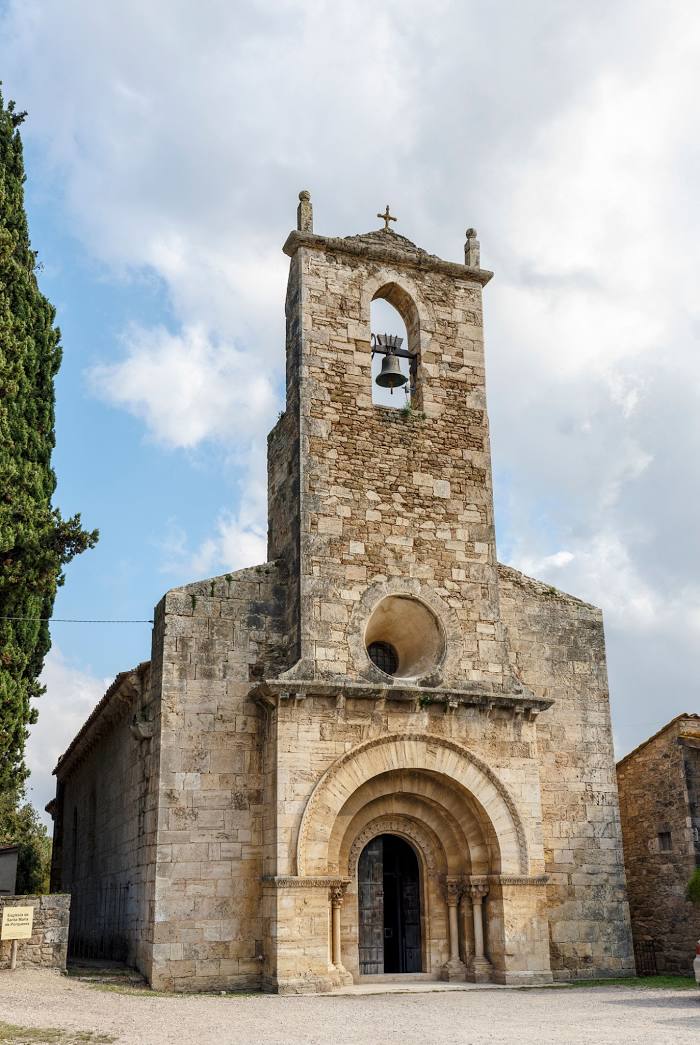
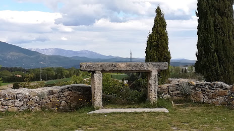
Attractions


Distance to the capital
Distance to the capital (Madrid) is about — 573 km.