
 Krempna
Mogilany
Osiek Jasielski
Oleszyce
Rajgród
Poczesna
Dobrzyca
Drobin
Bukowiec
Żurawica
Chocianow
Krasnystaw
Spiczyn
Jaworzyna Śląska
Kowal
Sroda Slaska
Syców
Kruszwica
Aleksandrów Kujawski
Krempna
Mogilany
Osiek Jasielski
Oleszyce
Rajgród
Poczesna
Dobrzyca
Drobin
Bukowiec
Żurawica
Chocianow
Krasnystaw
Spiczyn
Jaworzyna Śląska
Kowal
Sroda Slaska
Syców
Kruszwica
Aleksandrów Kujawski
Radzionków on the map, Poland
Where is located Radzionków
Exact location — Radzionków, Tarnowskie Góry County, Silesian Voivodeship, Poland, marked on the map with a red marker.
Coordinates
Radzionków, Poland coordinates in decimal format: latitude — 50.3998141, longitude — 18.9017625. When converted to degrees, minutes, seconds Radzionków has the following coordinates: 50°23′59.33 north latitude and 18°54′6.35 east longitude.
Population
Radzionków, Tarnowskie Góry County, Silesian Voivodeship, Poland, according to our data the population is — 17,167 residents, which is about 0% of the total population of the country (Poland).
Comparison of the population on the graph:
Exact time
Time zone for this location Radzionków — UTC +2 Europe/Warsaw. Exact time — friday, 5 may 2024 year, 01 h. 06 minutes.
Sunrise and sunset
Radzionków, sunrise and sunset data for a date — friday 3.05.2024.
| Sunrise | Sunset | Day (duration) |
|---|---|---|
| 05:18 -2 minutes | 20:03 +1 minute | 14 h. 48 minutes. +3 minutes |
You can control the scale of the map using the auxiliary tools to find out exactly where it is located Radzionków. When you change the scale of the map, the width of the ruler also changes (in kilometers and miles).
Nearby cities
The largest cities that are located nearby:
- Bytom — 6 km
- Zabrze — 12 km
- Chorzow — 12 km
- Ruda Slaska — 16 km
- Katowice — 17 km
- Sosnowiec — 19 km
- Gliwice — 20 km
- Dabrowa Gornicza — 22 km
- Rybnik — 41 km
- Częstochowa — 48 km
- Bielsko-Biala — 65 km
- Opole — 75 km
- Ostrava
 (Czech Republic) — 79 km
 - Kraków — 83 km
- Kielce — 131 km
- Olomouc (Czech Republic) — 148 km
- Wrocław — 151 km
- Tarnow — 154 km
- Łódź — 155 km
Distance to neighboring capitals:
- Bratislava
 (Slovakia) — 282 km
 - Vienna
 (Austria) — 305 km
 - Prague (Czech Republic) — 320 km
- Budapest
 (Hungary) — 323 km
 - Berlin
 (Germany) — 448 km
 - Belgrade
 (Serbia) — 635 km
 - Vilnius
 (Lithuania) — 643 km
 - Minsk
 (Belarus) — 707 km
 - Copenhagen
 (Denmark) — 723 km
 - Rīga
 (Latvia) — 805 km
 - Kyiv
 (Ukraine) — 823 km
 - Bucharest
 (Romania) — 857 km
 - Bern
 (Switzerland) — 924 km
 - Amsterdam
 (Netherlands) — 995 km
 - Helsinki
 (Finland) — 1151 km
 - Paris
 (France) — 1202 km
 - Moscow
 (Russia) — 1379 km
 - Tbilisi
 (Georgia) — 2204 km
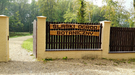
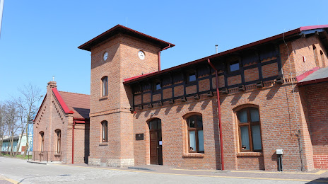
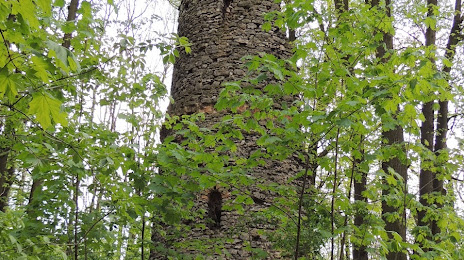
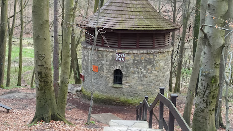
Attractions


Distance to the capital
Distance to the capital (Warsaw) is about — 251 km.