 Hubbards
Winchester
Gananoque
Petawawa
Alfred
Vankleek Hill
Chesterville
Paradise
Montreal
Ste. Agathe
Whitney
Morris
Shawinigan-Sud
Saint-Zotique
Berthierville
Lafontaine
Lac la Biche
Macklin
Goderich
Hubbards
Winchester
Gananoque
Petawawa
Alfred
Vankleek Hill
Chesterville
Paradise
Montreal
Ste. Agathe
Whitney
Morris
Shawinigan-Sud
Saint-Zotique
Berthierville
Lafontaine
Lac la Biche
Macklin
Goderich
Elliot Lake on the map, Canada
Where is located Elliot Lake
Exact location — Elliot Lake, Algoma District, Ontario, Canada, marked on the map with a red marker.
Coordinates
Elliot Lake, Canada coordinates in decimal format: latitude — 46.386179, longitude — -82.650941. When converted to degrees, minutes, seconds Elliot Lake has the following coordinates: 46°23′10.24 north latitude and -82°39′3.39 east longitude.
Population
Elliot Lake, Algoma District, Ontario, Canada, according to our data the population is — 12,508 residents, which is about 0% of the total population of the country (Canada).
Comparison of the population on the graph:
Exact time
Time zone for this location Elliot Lake — UTC -4 America/Toronto. Exact time — friday, 5 may 2024 year, 15 h. 50 minutes.
Sunrise and sunset
Elliot Lake, sunrise and sunset data for a date — friday 24.05.2024.
| Sunrise | Sunset | Day (duration) |
|---|---|---|
| 05:50 -1 minute | 21:04 +1 minute | 15 h. 12 minutes. +2 minutes |
You can control the scale of the map using the auxiliary tools to find out exactly where it is located Elliot Lake. When you change the scale of the map, the width of the ruler also changes (in kilometers and miles).
Nearby cities
The largest cities that are located nearby:
- Barrie — 322 km
- Waterloo — 366 km
- Guelph — 368 km
- Kitchener — 372 km
- Brampton — 373 km
- Richmond Hill — 377 km
- Vaughan — 377 km
- Flint
 (United States) — 382 km
 - Cambridge — 384 km
- Markham — 385 km
- Mississauga — 392 km
- London — 393 km
- Toronto — 400 km
- Oakville — 401 km
- Whitby — 404 km
- Oshawa — 408 km
- Burlington — 409 km
- Hamilton — 413 km
- Sterling Heights (United States) — 422 km
Distance to neighboring capitals:
- Washington (United States) — 950 km
- Nuuk
 (Greenland) — 2732 km
 - Mexico City
 (Mexico) — 3354 km
 - Saint John
 (Puerto Rico) — 3456 km
 - Belgrade
 (Serbia) — 7394 km
 - Podgorica
 (Montenegro) — 7502 km
 - Hagåtña
 (Guam) — 11855 km
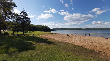
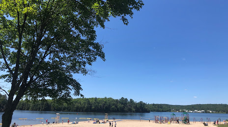
Attractions
Distance to the capital
Distance to the capital (Ottawa) is about — 549 km.