
 Chernigovka
Kirov
Pervyy
Rezh
Istra
Leonov
Nevelsk
Anton
Petrov
Nefteyugansk
Sloboda
Belaya Kalitva
Nikitinskiy
Kazakova
Kostin Log
Nalchik
Angarsk
Vnukovo International Airport
Vorkuta
Chernigovka
Kirov
Pervyy
Rezh
Istra
Leonov
Nevelsk
Anton
Petrov
Nefteyugansk
Sloboda
Belaya Kalitva
Nikitinskiy
Kazakova
Kostin Log
Nalchik
Angarsk
Vnukovo International Airport
Vorkuta
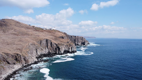
Slavyanka on the map, Russian Federation
Where is located Slavyanka
Exact location — Slavyanka, Khasansky District, Primorsky Krai, Russia, marked on the map with a red marker.
Coordinates
Slavyanka, Russian Federation coordinates in decimal format: latitude — 42.8711878, longitude — 131.3784441. When converted to degrees, minutes, seconds Slavyanka has the following coordinates: 42°52′16.28 north latitude and 131°22′42.4 east longitude.
Population
Slavyanka, Khasansky District, Primorsky Krai, Russia, according to our data the population is — 14,687 residents, which is about 0% of the total population of the country (Russian Federation).
Comparison of the population on the graph:
Exact time
Time zone for this location Slavyanka — UTC +10 Asia/Vladivostok. Exact time — monday, 4 april 2024 year, 18 h. 58 minutes.
Sunrise and sunset
Slavyanka, sunrise and sunset data for a date — monday 29.04.2024.
| Sunrise | Sunset | Day (duration) |
|---|---|---|
| 06:14 -1 minute | 20:09 +1 minute | 13 h. 54 minutes. +2 minutes |
You can control the scale of the map using the auxiliary tools to find out exactly where it is located Slavyanka. When you change the scale of the map, the width of the ruler also changes (in kilometers and miles).
Nearby cities
The largest cities that are located nearby:
- Vladivostok — 51 km
- Artem — 86 km
- Ussuriysk — 113 km
- Nakhodka — 121 km
- Mudanjiang
 (China) — 231 km
 - Jixi (China) — 270 km
- Jilin (China) — 400 km
- Jiamusi (China) — 442 km
- Changchun (China) — 494 km
- Harbin (China) — 494 km
- Hegang (China) — 502 km
- Liaoyuan (China) — 505 km
- Suihua (China) — 536 km
- Siping (China) — 568 km
- Fushun (China) — 621 km
- Daqing (China) — 629 km
- Tieling (China) — 631 km
- Pyongyang
 (North Korea) — 642 km
 - Benxi (China) — 655 km
Distance to neighboring capitals:
- Pyongyang (North Korea) — 635 km
- Seoul
 (South Korea) — 698 km
 - Beijing (China) — 1290 km
- Khan-Uul
 (Mongolian) — 1996 km
 - Hanoi
 (Vietnam) — 3396 km
 - Kathmandu
 (Nepal) — 4443 km
 - Astana
 (Kazakhstan) — 4505 km
 - Tehran
 (Iran) — 6668 km
 - Helsinki
 (Finland) — 6768 km
 - Tbilisi
 (Georgia) — 6782 km
 - Tallinn
 (Estonia) — 6826 km
 - Yerevan
 (Armenia) — 6895 km
 - Mariehamn (Åland Islands) — 6991 km
- Rīga
 (Latvia) — 7024 km
 - Minsk
 (Belarus) — 7060 km
 - Vilnius
 (Lithuania) — 7123 km
 - Kyiv
 (Ukraine) — 7130 km
 - Stockholm
 (Sweden) — 7133 km
 - Oslo
 (Norway) — 7377 km
 - Warsaw
 (Poland) — 7515 km
 - Bucharest
 (Romania) — 7811 km
 - Prague
 (Czech Republic) — 8011 km
Attractions
Distance to the capital
Distance to the capital (Moscow) is about — 6410 km.