
 Nadarzyn
Cisna
Polanów
Żyraków
Pilica
Łobżenica
Szydłowo
Damasławek
Gołańcz
Stawiski
Radziłów
Buczkowice
Wąwolnica
Lubochnia
Rakszawa
Bukowiec
Drobin
Dobrzyca
Poczesna
Nadarzyn
Cisna
Polanów
Żyraków
Pilica
Łobżenica
Szydłowo
Damasławek
Gołańcz
Stawiski
Radziłów
Buczkowice
Wąwolnica
Lubochnia
Rakszawa
Bukowiec
Drobin
Dobrzyca
Poczesna
Świętochłowice on the map, Poland
Where is located Świętochłowice
Exact location — Świętochłowice, Świętochłowice, Silesian Voivodeship, Poland, marked on the map with a red marker.
Coordinates
Świętochłowice, Poland coordinates in decimal format: latitude — 50.2964328, longitude — 18.9171297. When converted to degrees, minutes, seconds Świętochłowice has the following coordinates: 50°17′47.16 north latitude and 18°55′1.67 east longitude.
Population
Świętochłowice, Świętochłowice, Silesian Voivodeship, Poland, according to our data the population is — 55,600 residents, which is about 0.1% of the total population of the country (Poland).
Comparison of the population on the graph:
Exact time
Time zone for this location Świętochłowice — UTC +2 Europe/Warsaw. Exact time — thursday, 5 may 2024 year, 21 h. 05 minutes.
Sunrise and sunset
Świętochłowice, sunrise and sunset data for a date — thursday 16.05.2024.
| Sunrise | Sunset | Day (duration) |
|---|---|---|
| 04:59 -1 minute | 20:22 +2 minutes | 15 h. 24 minutes. +3 minutes |
You can control the scale of the map using the auxiliary tools to find out exactly where it is located Świętochłowice. When you change the scale of the map, the width of the ruler also changes (in kilometers and miles).
Nearby cities
The largest cities that are located nearby:
- Chorzow — 3 km
- Bytom — 6 km
- Ruda Slaska — 6 km
- Katowice — 8 km
- Zabrze — 10 km
- Sosnowiec — 13 km
- Gliwice — 17 km
- Dabrowa Gornicza — 20 km
- Rybnik — 34 km
- Bielsko-Biala — 53 km
- Częstochowa — 59 km
- Ostrava
 (Czech Republic) — 70 km
 - Kraków — 77 km
- Opole — 81 km
- Kielce — 135 km
- Olomouc (Czech Republic) — 142 km
- Tarnow — 150 km
- Wrocław — 158 km
- Łódź — 166 km
Distance to neighboring capitals:
- Bratislava
 (Slovakia) — 273 km
 - Vienna
 (Austria) — 297 km
 - Budapest
 (Hungary) — 311 km
 - Prague (Czech Republic) — 320 km
- Berlin
 (Germany) — 455 km
 - Belgrade
 (Serbia) — 624 km
 - Vilnius
 (Lithuania) — 651 km
 - Minsk
 (Belarus) — 713 km
 - Copenhagen
 (Denmark) — 733 km
 - Rīga
 (Latvia) — 815 km
 - Kyiv
 (Ukraine) — 823 km
 - Bucharest
 (Romania) — 847 km
 - Bern
 (Switzerland) — 921 km
 - Amsterdam
 (Netherlands) — 1000 km
 - Helsinki
 (Finland) — 1162 km
 - Paris
 (France) — 1203 km
 - Moscow
 (Russia) — 1385 km
 - Tbilisi
 (Georgia) — 2199 km
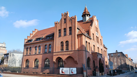
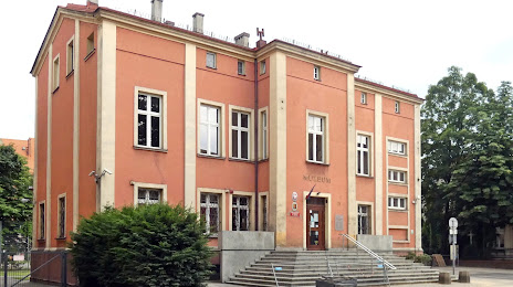
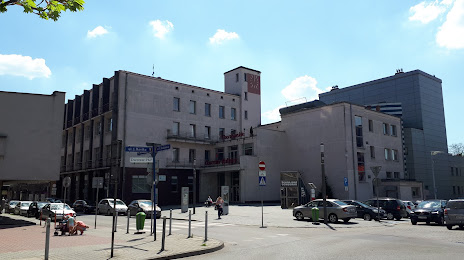
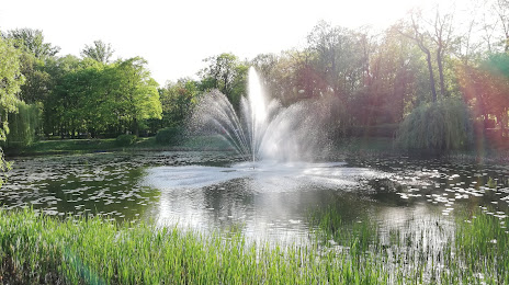
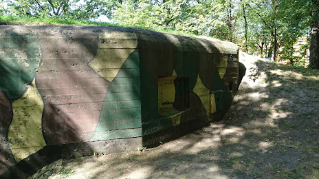
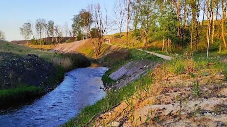
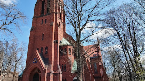
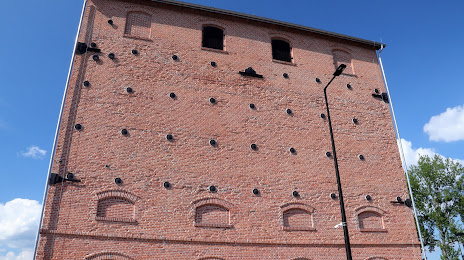
Attractions


Distance to the capital
Distance to the capital (Warsaw) is about — 260 km.