
 Prapoutel
Méru
Trans-la-Forêt
Montauban-de-Luchon
Saint-Georges-sur-Layon
Sagone
Russ
Neuvy-le-Roi
Saint-Blaise
Quingey
Saint-Lambert-du-Lattay
Indre
La Guineille (la Guinea)
Pyrénées-Orientales
Boudrac
Longvilliers
Canéjan
Le Broc
Saint-Martin-du-Var
Prapoutel
Méru
Trans-la-Forêt
Montauban-de-Luchon
Saint-Georges-sur-Layon
Sagone
Russ
Neuvy-le-Roi
Saint-Blaise
Quingey
Saint-Lambert-du-Lattay
Indre
La Guineille (la Guinea)
Pyrénées-Orientales
Boudrac
Longvilliers
Canéjan
Le Broc
Saint-Martin-du-Var
Saint-Amand-Montrond on the map, France
Where is located Saint-Amand-Montrond
Exact location — Saint-Amand-Montrond, Cher, Centre-Val de Loire, France, marked on the map with a red marker.
Coordinates
Saint-Amand-Montrond, France coordinates in decimal format: latitude — 46.7254859, longitude — 2.505604. When converted to degrees, minutes, seconds Saint-Amand-Montrond has the following coordinates: 46°43′31.75 north latitude and 2°30′20.17 east longitude.
Population
Saint-Amand-Montrond, Cher, Centre-Val de Loire, France, according to our data the population is — 11,976 residents, which is about 0% of the total population of the country (France).
Comparison of the population on the graph:
Exact time
Time zone for this location Saint-Amand-Montrond — UTC +2 Europe/Paris. Exact time — friday, 5 may 2024 year, 15 h. 31 minute.
Sunrise and sunset
Saint-Amand-Montrond, sunrise and sunset data for a date — friday 10.05.2024.
| Sunrise | Sunset | Day (duration) |
|---|---|---|
| 06:24 -2 minutes | 21:07 +1 minute | 14 h. 42 minutes. +3 minutes |
You can control the scale of the map using the auxiliary tools to find out exactly where it is located Saint-Amand-Montrond. When you change the scale of the map, the width of the ruler also changes (in kilometers and miles).
Nearby cities
The largest cities that are located nearby:
- Clermont-Ferrand — 114 km
- Orléans — 137 km
- Limoges — 138 km
- Tours — 155 km
- Dijon — 201 km
- Saint-Étienne — 204 km
- Lyon — 209 km
- Villeurbanne — 212 km
- Le Mans — 222 km
- Boulogne-Billancourt — 235 km
- Angers — 244 km
- Besançon — 270 km
- Geneva
 (Switzerland) — 284 km
 - Reims — 301 km
- Grenoble — 303 km
- Nantes — 310 km
- Lausanne (Switzerland) — 315 km
- Rouen — 317 km
- Bordeaux — 319 km
Distance to neighboring capitals:
- Bern (Switzerland) — 377 km
- Andorra la Vella
 (Andorra) — 476 km
 - Brussels
 (Belgium) — 478 km
 - Vaduz
 (Liechtenstein) — 535 km
 - London
 (United Kingdom) — 565 km
 - Amsterdam
 (Netherlands) — 651 km
 - Madrid
 (Spain) — 861 km
 - Prague
 (Czech Republic) — 955 km
 - Rome
 (Italy) — 958 km
 - Berlin
 (Germany) — 1014 km
 - Vienna
 (Austria) — 1054 km
 - Copenhagen
 (Denmark) — 1215 km
 - Lisbon
 (Portugal) — 1300 km
 - Warsaw
 (Poland) — 1465 km
 - Nicosia
 — 2869 km
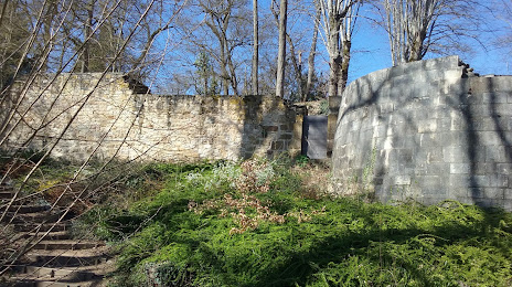
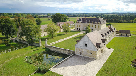
Attractions


Distance to the capital
Distance to the capital (Paris) is about — 237 km.