
 Podlaskie Voivodeship
Szymbark
Dąbrowo
Kowalewo
Osmolice
Borowce
Bobrowce
Mniszków
Martiany
Darż
Skorzeszyce
Glinka
Brzoskwinia
Skalbmierz
Gmina Ostrowice
Szydłów
Gułów
Iwanowice Dworskie
Władysławowo
Podlaskie Voivodeship
Szymbark
Dąbrowo
Kowalewo
Osmolice
Borowce
Bobrowce
Mniszków
Martiany
Darż
Skorzeszyce
Glinka
Brzoskwinia
Skalbmierz
Gmina Ostrowice
Szydłów
Gułów
Iwanowice Dworskie
Władysławowo
Błonie on the map, Poland
Where is located Błonie
Exact location — Błonie, Warsaw West County, Masovian Voivodeship, Poland, marked on the map with a red marker.
Coordinates
Błonie, Poland coordinates in decimal format: latitude — 52.1985472, longitude — 20.6169567. When converted to degrees, minutes, seconds Błonie has the following coordinates: 52°11′54.77 north latitude and 20°37′1.04 east longitude.
Exact time
Time zone for this location Błonie — UTC +2 Europe/Warsaw. Exact time — tuesday, 4 april 2024 year, 01 h. 35 minutes.
Sunrise and sunset
Błonie, sunrise and sunset data for a date — tuesday 30.04.2024.
| Sunrise | Sunset | Day (duration) |
|---|---|---|
| 05:11 -2 minutes | 19:57 +2 minutes | 14 h. 48 minutes. +4 minutes |
You can control the scale of the map using the auxiliary tools to find out exactly where it is located Błonie. When you change the scale of the map, the width of the ruler also changes (in kilometers and miles).
Nearby cities
The largest cities that are located nearby:
- Plock — 72 km
- Łódź — 93 km
- Radom — 95 km
- Wloclawek — 115 km
- Kielce — 147 km
- Torun — 162 km
- Lublin — 171 km
- Olsztyn — 175 km
- Kalisz — 180 km
- Częstochowa — 186 km
- Bialystok — 198 km
- Bydgoszcz — 201 km
- Brest
 (Belarus) — 212 km
 - Elblag — 230 km
- Dabrowa Gornicza — 231 km
- Sosnowiec — 237 km
- Bytom — 237 km
- Kraków — 241 km
- Chorzow — 241 km
Distance to neighboring capitals:
- Vilnius
 (Lithuania) — 415 km
 - Berlin
 (Germany) — 491 km
 - Prague
 (Czech Republic) — 491 km
 - Minsk (Belarus) — 501 km
- Bratislava
 (Slovakia) — 515 km
 - Budapest
 (Hungary) — 535 km
 - Vienna
 (Austria) — 537 km
 - Rīga
 (Latvia) — 574 km
 - Copenhagen
 (Denmark) — 653 km
 - Kyiv
 (Ukraine) — 715 km
 - Belgrade
 (Serbia) — 824 km
 - Helsinki
 (Finland) — 926 km
 - Bucharest
 (Romania) — 954 km
 - Amsterdam
 (Netherlands) — 1068 km
 - Bern
 (Switzerland) — 1113 km
 - Moscow
 (Russia) — 1177 km
 - Paris
 (France) — 1340 km
 - Tbilisi
 (Georgia) — 2158 km
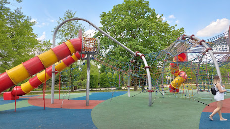
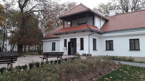
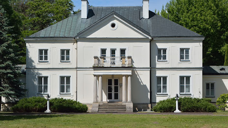
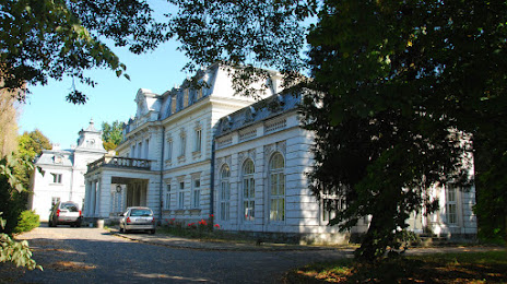
Attractions
Distance to the capital
Distance to the capital (Warsaw) is about — 27 km.