Pajapita — Nahuala
Pajapita — San Mateo
Pajapita — Santa Lucía Cotzumalguapa
Pajapita — Zunil
Pajapita — Guatemala
Pajapita — Agua Blanca
Pajapita — San Juan Atitan
Pajapita — Palqui
Pajapita — Santa Cruz la Laguna
Pajapita — Cuyotenango
Pajapita — Santa Rosa Department
Pajapita — Todos Santos
Pajapita — Punta Manabique
Pajapita — Aldea San Luis Puerta Negra
Pajapita — San Juan La Laguna
Pajapita — Livingston
Pajapita — El Nuevo Palmar
Pajapita — Boca del Monte
Pajapita — Cubulco
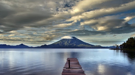
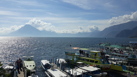
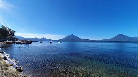
Pajapita — Sololá distance, route on the map
Distance by car
Distance between Pajapita, San Marcos Department, Guatemala and Sololá, Solola, Guatemala by car is — km, or miles. To travel this distance by car, you need minute, or h.
Route on the map, driving directions
Car route Pajapita — Sololá was created automatically. The road on the map is shown as a blue line. By moving the markers, you can create a new route through the points you need.
Distance by plane
If you decide to take a trip Pajapita Sololá by plane, then you have to fly the distance — 92 km or 57 miles. It is marked on the map with a gray line (between two points in a straight line).
Flight time
Estimated flight time Pajapita Sololá by plane at cruising speed 750 km / h will be — 7 min.
Direction of movement
Guatemala, Pajapita — right-hand traffic. Guatemala, Sololá — right-hand traffic.
Difference in time
Pajapita and Sololá are in the same time zone. Between them there is no time difference (UTC -6 America/Guatemala).
Interesting Facts
Information on alternative ways to get to your destination.
The length of this distance is about 0.2% of the total length of the equator.
The percentage of the population is clearly shown in the graph:
Pajapita — 8,164 (less by 37,209), Sololá — 45,373 residents.
The cost of travel
Calculate the cost of the trip yourself using the fuel consumption calculator, changing the data in the table.