
 Kornadź
Damačava
Horki
Koladna
Сёмково
Motaĺ
Ivanava
Tarasava
Plashava
Mir
Kamenetz
Iveta
Byhov
Burki
Novoe Settlement
Dyatlovo
Stone's Log
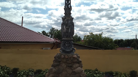
Belarus
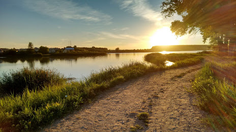
The old road
Kornadź
Damačava
Horki
Koladna
Сёмково
Motaĺ
Ivanava
Tarasava
Plashava
Mir
Kamenetz
Iveta
Byhov
Burki
Novoe Settlement
Dyatlovo
Stone's Log
Belarus
The old road
Hlybokaye on the map, Belarus
Where is located Hlybokaye
Exact location — Hlybokaye, Hlybokae District, Vitebsk Region, Belarus, marked on the map with a red marker.
Coordinates
Hlybokaye, Belarus coordinates in decimal format: latitude — 55.1391321, longitude — 27.6842904. When converted to degrees, minutes, seconds Hlybokaye has the following coordinates: 55°8′20.88 north latitude and 27°41′3.45 east longitude.
Exact time
Time zone for this location Hlybokaye — UTC +3 Europe/Minsk. Exact time — saturday, 5 may 2024 year, 02 h. 49 minutes.
Sunrise and sunset
Hlybokaye, sunrise and sunset data for a date — saturday 18.05.2024.
| Sunrise | Sunset | Day (duration) |
|---|---|---|
| 04:59 -2 minutes | 21:11 +1 minute | 16 h. 12 minutes. +3 minutes |
You can control the scale of the map using the auxiliary tools to find out exactly where it is located Hlybokaye. When you change the scale of the map, the width of the ruler also changes (in kilometers and miles).
Nearby cities
The largest cities that are located nearby:
- Navapolatsk — 69 km
- Maladzyechna — 106 km
- Daugavpils
 (Latvia) — 108 km
 - Vilnius
 (Lithuania) — 162 km
 - Panevėžys (Lithuania) — 217 km
- Velikiye Luki
 (Russia) — 219 km
 - Kaunas (Lithuania) — 242 km
- Babruysk — 243 km
- Baranovichi — 249 km
- Salihorsk — 260 km
- Smolensk (Russia) — 281 km
- Šiauliai (Lithuania) — 285 km
- Rīga (Latvia) — 294 km
- Pskov (Russia) — 299 km
- Pinsk — 351 km
- Mazyr — 359 km
- Tartu
 (Estonia) — 362 km
 - Gomel — 372 km
- Bialystok
 (Poland) — 373 km
Distance to neighboring capitals:
- Vilnius (Lithuania) — 162 km
- Rīga (Latvia) — 300 km
- Tallinn (Estonia) — 509 km
- Warsaw (Poland) — 545 km
- Kyiv
 (Ukraine) — 555 km
 - Helsinki
 (Finland) — 583 km
 - Moscow (Russia) — 630 km
- Prague
 (Czech Republic) — 1055 km
 - Bucharest
 (Romania) — 1197 km
 - Belgrade
 (Serbia) — 1261 km
 - Tbilisi
 (Georgia) — 1944 km
Attractions
Distance to the capital
Distance to the capital (Minsk) is about — 138 km.