Dar El-Salam — Al Fashn
Dar El-Salam — Al Waili
Dar El-Salam — Kafr El-Shaikh Hilal
Dar El-Salam — Sidi Abdel Rahman
Dar El-Salam — Mit Khaqan WA Hissitha
Dar El-Salam — El-Nabawy El-Mohandes
Dar El-Salam — Nagaa Saeed
Dar El-Salam — Umm Al Qusur
Dar El-Salam — Manzel Hayan
Dar El-Salam — Al Qasabi
Dar El-Salam — Ismailia
Dar El-Salam — Izbat Gharb Tirah
Dar El-Salam — Awlad Tuq Gharb
Dar El-Salam — Shubrahur
Dar El-Salam — Shallubah
Dar El-Salam — Faysal
Dar El-Salam — As Sirw
Dar El-Salam — Surayr
Dar El-Salam — Iarab Al Ayadah
Mazatah Sharq
Dar El-Salam
Awlad Yahya Bahari
Gerga
Nagaa Ad Dayr
Awlad El-Shaikh
El-Usayrat
Enterprise
Al Kawlah
Bayaad Al Arab
Ohmant
Auspicious
Wasta
Atfeeh
The New Administrative Capital's Heliport
Badr City
Agrod
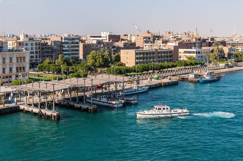
Dar El-Salam — Suez distance, route on the map
Distance by car
Distance between Dar El-Salam, Sohag Governorate, Egypt and Suez, Suez Governorate, Egypt by car is — km, or miles. To travel this distance by car, you need minute, or h.
Route on the map, driving directions
Car route Dar El-Salam — Suez was created automatically. The road on the map is shown as a blue line. By moving the markers, you can create a new route through the points you need.
Passing cities through which the car route passes: Awlad Tuq Gharb, Mazatah Sharq, Dar El-Salam, Awlad Yahya Bahari, Gerga, Nagaa Ad Dayr, Awlad El-Shaikh, El-Usayrat, Enterprise, Al Kawlah, Bayaad Al Arab, Ohmant, Auspicious, Wasta, Atfeeh, The New Administrative Capital's Heliport, Badr City, Agrod.
Distance by plane
If you decide to take a trip Dar El-Salam Suez by plane, then you have to fly the distance — 416 km or 258 miles. It is marked on the map with a gray line (between two points in a straight line).
Flight time
Estimated flight time Dar El-Salam Suez by plane at cruising speed 750 km / h will be — 33 min.
Direction of movement
Egypt, Dar El-Salam — right-hand traffic. Egypt, Suez — right-hand traffic.
Difference in time
Dar El-Salam and Suez are in the same time zone. Between them there is no time difference (UTC +2 Africa/Cairo).
Interesting Facts
Information on alternative ways to get to your destination.
The length of this distance is about 1.0% of the total length of the equator.
The cost of travel
Calculate the cost of the trip yourself using the fuel consumption calculator, changing the data in the table.