Santa María Rayón — San Sebastián
Santa María Rayón — Villachuato
Santa María Rayón — Atitalaquía
Santa María Rayón — St Thomas
Santa María Rayón — Apaseo
Santa María Rayón — Palm Valley
Santa María Rayón — Monterrey International Airport
Santa María Rayón — Real de Catorce
Santa María Rayón — Tochimilco
Santa María Rayón — Escalerillas
Santa María Rayón — Akil
Santa María Rayón — Warrior
Santa María Rayón — Piedras Negras
Santa María Rayón — Suchitlán
Santa María Rayón — Catarina
Santa María Rayón — Tierras Blancas
Santa María Rayón — El Vigía
Santa María Rayón — Ozuluama de Mascareñas
Santa María Rayón — Bocoyna Municipality
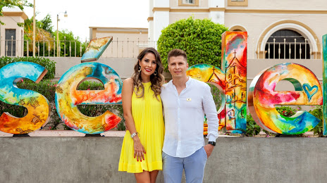
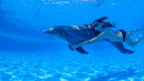
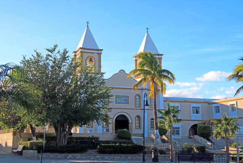
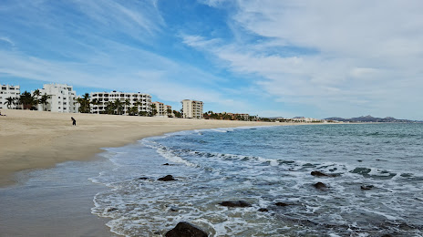
Santa María Rayón — San José del Cabo distance, route on the map
Distance by car
Distance between Santa María Rayón, Estado de México, Mexico and San José del Cabo, Baja California Sur, Mexico by car is — km, or miles. To travel this distance by car, you need minute, or h.
Route on the map, driving directions
Car route Santa María Rayón — San José del Cabo was created automatically. The road on the map is shown as a blue line. By moving the markers, you can create a new route through the points you need.
Distance by plane
If you decide to take a trip Santa María Rayón San José del Cabo by plane, then you have to fly the distance — 1136 km or 704 miles. It is marked on the map with a gray line (between two points in a straight line).
Flight time
Estimated flight time Santa María Rayón San José del Cabo by plane at cruising speed 750 km / h will be — 1 h. and 30 min.
Direction of movement
Mexico, Santa María Rayón — right-hand traffic. Mexico, San José del Cabo — right-hand traffic.
Difference in time
Santa María Rayón and San José del Cabo are in different time zones. The time difference is 1 hour (UTC -6 America/Mexico_City, UTC -7 America/Mazatlan).
Interesting Facts
Information on alternative ways to get to your destination.
The length of this distance is about 2.8% of the total length of the equator.
The percentage of the population is clearly shown in the graph:
Santa María Rayón — 7,445 (less by 41,073), San José del Cabo — 48,518 residents.
The cost of travel
Calculate the cost of the trip yourself using the fuel consumption calculator, changing the data in the table.