Tamazula de Gordiano — Ciudad Jiménez
Tamazula de Gordiano — San Juan del Río
Tamazula de Gordiano — Soledad de Doblado
Tamazula de Gordiano — Tekantó Municipality
Tamazula de Gordiano — Chapala
Tamazula de Gordiano — Salinas de Hidalgo
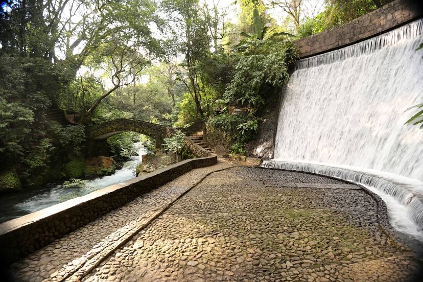
Tamazula de Gordiano — Autlán
Tamazula de Gordiano — Coscomatepec de Bravo
Tamazula de Gordiano — Maltrata
Tamazula de Gordiano — Real Calafia
Tamazula de Gordiano — El Carmen
Tamazula de Gordiano — La Arena
Tamazula de Gordiano — La Esmeralda
Tamazula de Gordiano — Talpa de Allende
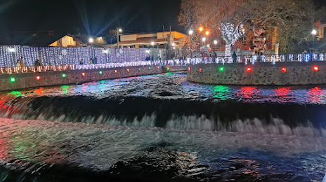
Tamazula de Gordiano — Quiroga
Tamazula de Gordiano — Yajalón
Tamazula de Gordiano — Emilio Portes Gil
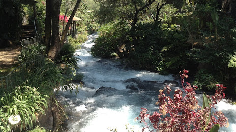
Tamazula de Gordiano — Jiquilpan
Tamazula de Gordiano — Opodepe
Valle de Juárez
Cotija de la Paz
La Alberca
Tocumbo
Los Reyes de Salgado
Peribán
Tamazula de Gordiano — Ciudad Jiménez
Tamazula de Gordiano — San Juan del Río
Tamazula de Gordiano — Soledad de Doblado
Tamazula de Gordiano — Tekantó Municipality
Tamazula de Gordiano — Chapala
Tamazula de Gordiano — Salinas de Hidalgo
Tamazula de Gordiano — Autlán
Tamazula de Gordiano — Coscomatepec de Bravo
Tamazula de Gordiano — Maltrata
Tamazula de Gordiano — Real Calafia
Tamazula de Gordiano — El Carmen
Tamazula de Gordiano — La Arena
Tamazula de Gordiano — La Esmeralda
Tamazula de Gordiano — Talpa de Allende
Tamazula de Gordiano — Quiroga
Tamazula de Gordiano — Yajalón
Tamazula de Gordiano — Emilio Portes Gil
Tamazula de Gordiano — Jiquilpan
Tamazula de Gordiano — Opodepe
Valle de Juárez
Cotija de la Paz
La Alberca
Tocumbo
Los Reyes de Salgado
Peribán
Tamazula de Gordiano — Uruapan distance, route on the map
Distance by car
Distance between Tamazula de Gordiano, Jalisco, Mexico and Uruapan, Michoacan, Mexico by car is — km, or miles. To travel this distance by car, you need minute, or h.
Route on the map, driving directions
Car route Tamazula de Gordiano — Uruapan was created automatically. The road on the map is shown as a blue line. By moving the markers, you can create a new route through the points you need.
Passing cities through which the car route passes: Mazamitla, Valle de Juárez, Cotija de la Paz, La Alberca, Tocumbo, Los Reyes de Salgado, Peribán.
Distance by plane
If you decide to take a trip Tamazula de Gordiano Uruapan by plane, then you have to fly the distance — 130 km or 81 miles. It is marked on the map with a gray line (between two points in a straight line).
Flight time
Estimated flight time Tamazula de Gordiano Uruapan by plane at cruising speed 750 km / h will be — 10 min.
Direction of movement
Mexico, Tamazula de Gordiano — right-hand traffic. Mexico, Uruapan — right-hand traffic.
Difference in time
Tamazula de Gordiano and Uruapan are in the same time zone. Between them there is no time difference (UTC -6 America/Mexico_City).
Interesting Facts
Information on alternative ways to get to your destination.
The length of this distance is about 0.3% of the total length of the equator.
The percentage of the population is clearly shown in the graph:
Tamazula de Gordiano — 18,397 (less by 218,911), Uruapan — 237,308 residents.
The cost of travel
Calculate the cost of the trip yourself using the fuel consumption calculator, changing the data in the table.