 Grove City
Lakeview
Mississippi
Warren
Hilton
Patterson
Holbrook
Hansberg
Woodstock
Disney
Pinal
Lake City
New Ulm
Sweet Valley
Ocean Township
Warba
Outlook
Hempstead
Hempstead
Grove City
Lakeview
Mississippi
Warren
Hilton
Patterson
Holbrook
Hansberg
Woodstock
Disney
Pinal
Lake City
New Ulm
Sweet Valley
Ocean Township
Warba
Outlook
Hempstead
Hempstead
Highlands Ranch on the map, United States
Where is located Highlands Ranch
Exact location — Highlands Ranch, Douglas County, Colorado, United States, marked on the map with a red marker.
Coordinates
Highlands Ranch, United States coordinates in decimal format: latitude — 39.5480789, longitude — -104.9739333. When converted to degrees, minutes, seconds Highlands Ranch has the following coordinates: 39°32′53.08 north latitude and -104°58′26.16 east longitude.
Population
Highlands Ranch, Douglas County, Colorado, United States, according to our data the population is — 96,713 residents, which is about 0% of the total population of the country (United States).
Comparison of the population on the graph:
Exact time
Time zone for this location Highlands Ranch — UTC -6 America/Denver. Exact time — wednesday, 5 may 2024 year, 08 h. 17 minutes.
Sunrise and sunset
Highlands Ranch, sunrise and sunset data for a date — wednesday 8.05.2024.
| Sunrise | Sunset | Day (duration) |
|---|---|---|
| 05:54 -2 minutes | 19:57 +1 minute | 14 h. 6 minutes. +3 minutes |
You can control the scale of the map using the auxiliary tools to find out exactly where it is located Highlands Ranch. When you change the scale of the map, the width of the ruler also changes (in kilometers and miles).
Nearby cities
The largest cities that are located nearby:
- Lakewood — 20 km
- Denver — 21 km
- Aurora — 23 km
- Arvada — 30 km
- Westminster — 32 km
- Thornton — 35 km
- Colorado Springs — 80 km
- Fort Collins — 115 km
- Pueblo — 146 km
- Albuquerque — 515 km
- Valencia — 548 km
- Amarillo — 556 km
- Provo — 569 km
- Salt Lake City — 595 km
- West Jordan — 596 km
- West Valley City — 603 km
- Wichita — 699 km
- Lincoln — 708 km
- Lubbock — 720 km
Distance to neighboring capitals:
- Mexico City
 (Mexico) — 2306 km
 - Ottawa
 (Canada) — 2473 km
 - Belmopan
 (Belize) — 2933 km
 - Guatemala City
 (Guatemala) — 3111 km
 - Nuuk
 (Greenland) — 4368 km
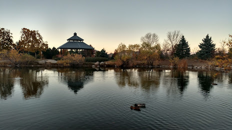
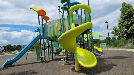
Attractions


Distance to the capital
Distance to the capital (Washington) is about — 2398 km.