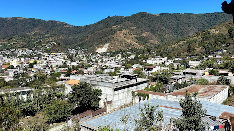
San José Pinula — Santa Cruz Verapaz
San José Pinula — Santo Tomás de Castilla
San José Pinula — Fray Bartolomé de las Casas
San José Pinula — El Jícaro
San José Pinula — Chiquistepeque
San José Pinula — San Rafael La Independencia
San José Pinula — Monjas
San José Pinula — El Carmen
San José Pinula — Ceiba Amelia
San José Pinula — El Quetzal
San José Pinula — San José Rinconcito
San José Pinula — Concepcion Pinula
San José Pinula — Tucurú
San José Pinula — Santa Eulalia
San José Pinula — El Cerinal
San José Pinula — San Sebastián
San José Pinula — Nueva Concepción
San José Pinula — Alotenango
San José Pinula — Raxruhá
Santa Catarina Pinula
Zona 14
La Aurora Airport
Guatemala City
Mixco
Mixco
San Lucas Sacatepéquez
San Lucas Sacatepequez
Santo Tomás Milpas Altas
San Bartolomé Milpas Altas
Vuelta Grande
Antigua Guatemala
Santo Tomás Milpas Altas
San Pedro Las Huertas
Ciudad Vieja
San Miguel Dueñas
San José Pinula — Santa Cruz Verapaz
San José Pinula — Santo Tomás de Castilla
San José Pinula — Fray Bartolomé de las Casas
San José Pinula — El Jícaro
San José Pinula — Chiquistepeque
San José Pinula — San Rafael La Independencia
San José Pinula — Monjas
San José Pinula — El Carmen
San José Pinula — Ceiba Amelia
San José Pinula — El Quetzal
San José Pinula — San José Rinconcito
San José Pinula — Concepcion Pinula
San José Pinula — Tucurú
San José Pinula — Santa Eulalia
San José Pinula — El Cerinal
San José Pinula — San Sebastián
San José Pinula — Nueva Concepción
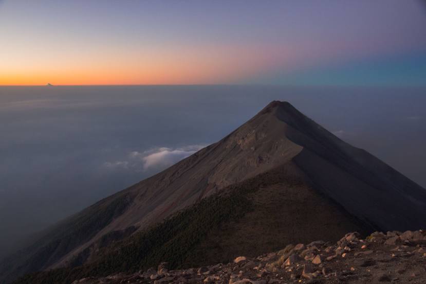
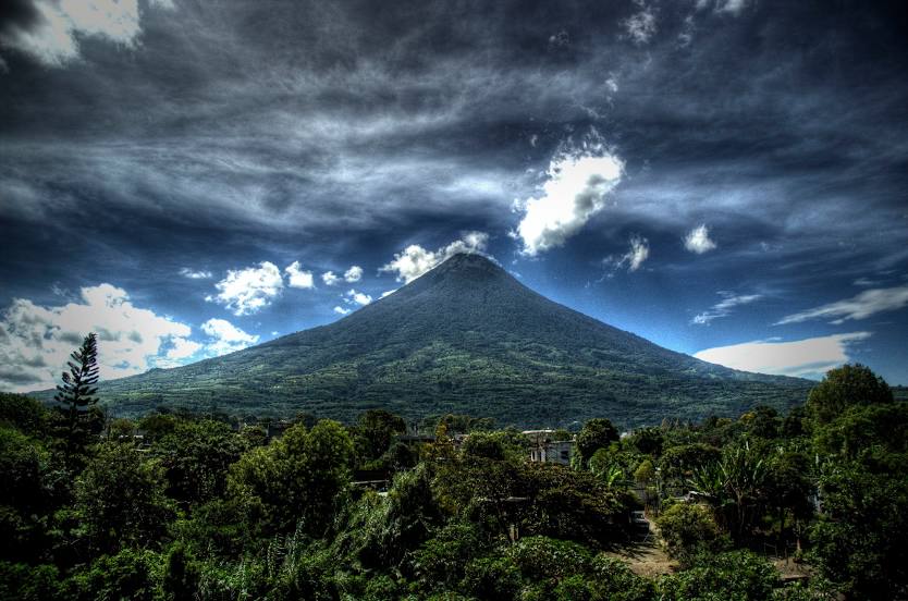
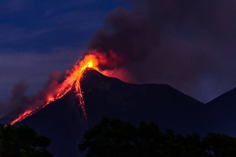
San José Pinula — Alotenango
San José Pinula — Raxruhá
Santa Catarina Pinula
Zona 14
La Aurora Airport
Guatemala City
Mixco
Mixco
San Lucas Sacatepéquez
San Lucas Sacatepequez
Santo Tomás Milpas Altas
San Bartolomé Milpas Altas
Vuelta Grande
Antigua Guatemala
Santo Tomás Milpas Altas
San Pedro Las Huertas
Ciudad Vieja
San Miguel Dueñas
San José Pinula — Alotenango distance, route on the map
Distance by car
Distance between San José Pinula, Guatemala Department, Guatemala and Alotenango, Sacatepequez, Guatemala by car is — km, or miles. To travel this distance by car, you need minute, or h.
Route on the map, driving directions
Car route San José Pinula — Alotenango was created automatically. The road on the map is shown as a blue line. By moving the markers, you can create a new route through the points you need.
Passing cities through which the car route passes: Santa Catarina Pinula, Santa Catarina Pinula, Zona 14, La Aurora Airport, Guatemala City, Mixco, Mixco, San Lucas Sacatepéquez, San Lucas Sacatepequez, Santo Tomás Milpas Altas, San Bartolomé Milpas Altas, Vuelta Grande, Antigua Guatemala, Santo Tomás Milpas Altas, San Pedro Las Huertas, Ciudad Vieja, San Miguel Dueñas.
Distance by plane
If you decide to take a trip San José Pinula Alotenango by plane, then you have to fly the distance — 43 km or 27 miles. It is marked on the map with a gray line (between two points in a straight line).
Flight time
Estimated flight time San José Pinula Alotenango by plane at cruising speed 750 km / h will be — 3 min.
Direction of movement
Guatemala, San José Pinula — right-hand traffic. Guatemala, Alotenango — right-hand traffic.
Difference in time
San José Pinula and Alotenango are in the same time zone. Between them there is no time difference (UTC -6 America/Guatemala).
Interesting Facts
Information on alternative ways to get to your destination.
The length of this distance is about 0.1% of the total length of the equator.
The percentage of the population is clearly shown in the graph:
San José Pinula — 47,247, Alotenango — 17,052 residents (less by 30,195).
The cost of travel
Calculate the cost of the trip yourself using the fuel consumption calculator, changing the data in the table.