
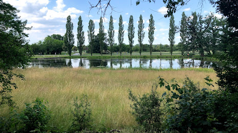
 Weißenthurm
Eschelbronn
Ammersbek
Neukirchen
Tiefenbach
Rodewald
Eider
Schleusegrund
Südbrookmerland
Prühl
Bad Mingolsheim
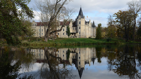
Altmühltal
Brinkum
Leipheim
Aumund-Hammersbeck
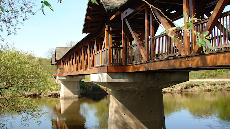
Bremm
Bad Rodach
Tetz
Jettingen
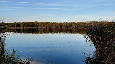
Weißenthurm
Eschelbronn
Ammersbek
Neukirchen
Tiefenbach
Rodewald
Eider
Schleusegrund
Südbrookmerland
Prühl
Bad Mingolsheim
Altmühltal
Brinkum
Leipheim
Aumund-Hammersbeck
Bremm
Bad Rodach
Tetz
Jettingen
Dessau on the map, Germany
Where is located Dessau
Exact location — Dessau-Roßlau, Saxony-Anhalt, Germany, marked on the map with a red marker.
Coordinates
Dessau, Germany coordinates in decimal format: latitude — 51.8428278, longitude — 12.2303935. When converted to degrees, minutes, seconds Dessau has the following coordinates: 51°50′34.18 north latitude and 12°13′49.42 east longitude.
Exact time
Time zone for this location Dessau — UTC +2 Europe/Berlin. Exact time — wednesday, 5 may 2024 year, 14 h. 55 minutes.
Sunrise and sunset
Dessau, sunrise and sunset data for a date — wednesday 15.05.2024.
| Sunrise | Sunset | Day (duration) |
|---|---|---|
| 05:21 -1 minute | 20:53 +1 minute | 15 h. 30 minutes. +2 minutes |
You can control the scale of the map using the auxiliary tools to find out exactly where it is located Dessau. When you change the scale of the map, the width of the ruler also changes (in kilometers and miles).
Nearby cities
The largest cities that are located nearby:
- Magdeburg — 51 km
- Leipzig — 56 km
- Potsdam — 83 km
- Gera — 106 km
- Berlin — 107 km
- Wolfsburg — 117 km
- Chemnitz — 122 km
- Brunswick — 125 km
- Erfurt — 126 km
- Salzgitter — 133 km
- Dresden — 137 km
- Cottbus — 144 km
- Hildesheim — 158 km
- Göttingen — 163 km
- Hanover — 179 km
- Kassel — 199 km
- Zielona Gora
 (Poland) — 224 km
 - Gorzów Wielkopolski (Poland) — 224 km
- Szczecin (Poland) — 233 km
Distance to neighboring capitals:
- Prague
 (Czech Republic) — 250 km
 - Copenhagen
 (Denmark) — 427 km
 - Vienna
 (Austria) — 501 km
 - Amsterdam
 (Netherlands) — 504 km
 - Brussels
 (Belgium) — 558 km
 - Vaduz
 (Liechtenstein) — 558 km
 - Warsaw (Poland) — 602 km
- Bern
 (Switzerland) — 645 km
 - Ljubljana
 (Slovenia) — 665 km
 - Paris
 (France) — 775 km
 - Paris (France) — 775 km
- Oslo
 (Norway) — 902 km
 - Stockholm
 (Sweden) — 904 km
 - Minsk
 (Belarus) — 1052 km
 - Rome
 (Italy) — 1106 km
 - Helsinki
 (Finland) — 1214 km
 - Kyiv
 (Ukraine) — 1282 km
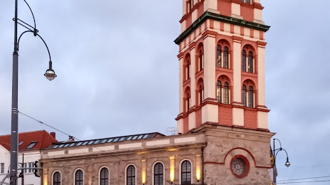
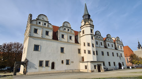
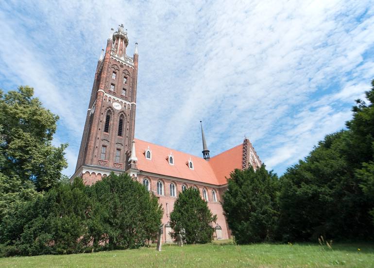
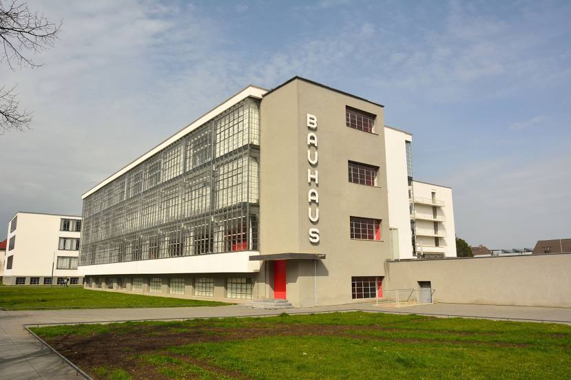
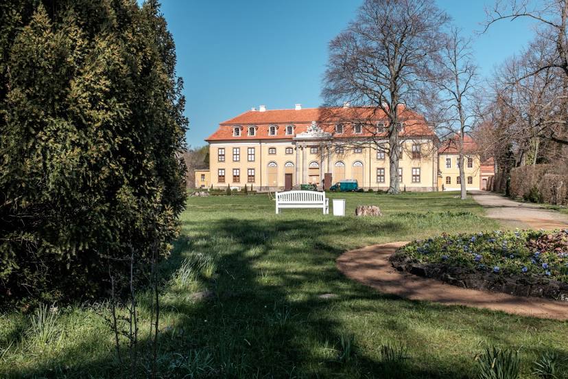
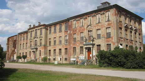
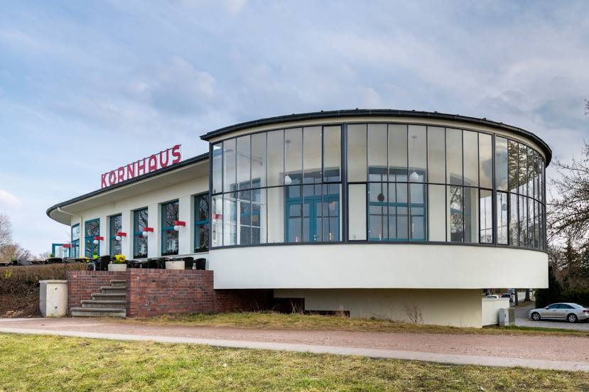
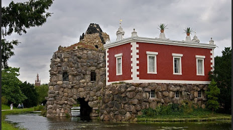
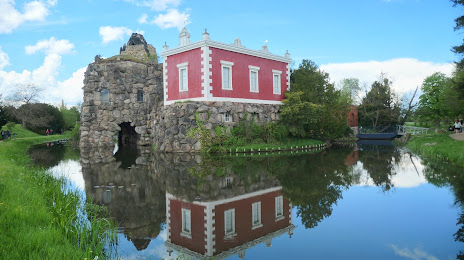
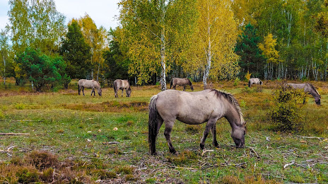
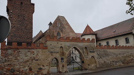
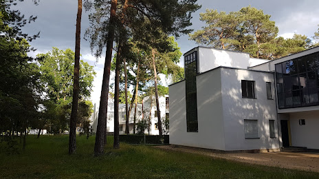
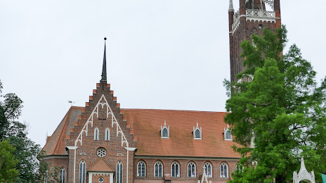
Attractions


Distance to the capital
Distance to the capital (Berlin) is about — 110 km.