Baskal
Qovlar
Yalama
Dash Salahly
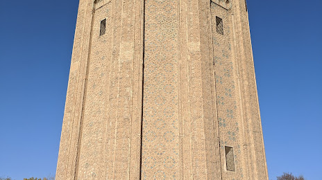
Khinaliq
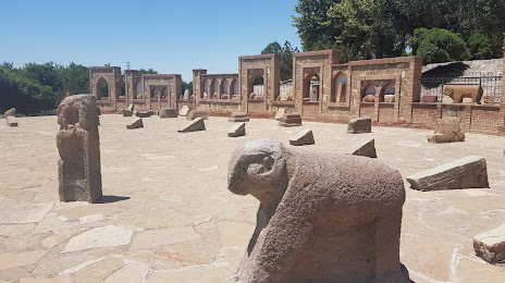
Qobustan
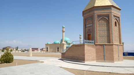
Davudlu
Kalbajar District
Mughan
Ujar
Hajikand
Bina
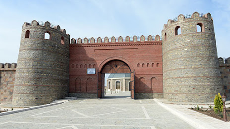
Dashkasan
Oghuz
Aghdash
Agsu
Salyan
Buynuz
Khachmaz
Baskal
Qovlar
Yalama
Dash Salahly
Khinaliq
Qobustan
Davudlu
Kalbajar District
Mughan
Ujar
Hajikand
Bina
Dashkasan
Oghuz
Aghdash
Agsu
Salyan
Buynuz
Khachmaz
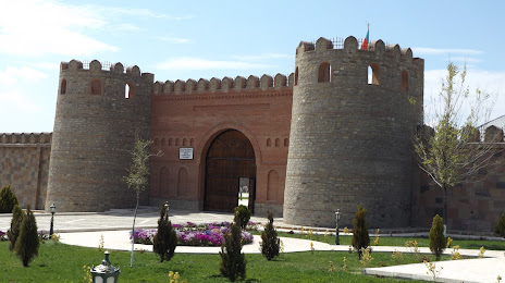
Nakhchivan on the map, Azerbaijan
Where is located Nakhchivan
Exact location — Nakhchivan, Nakhchivan Autonomous Republic, Azerbaijan, marked on the map with a red marker.
Coordinates
Nakhchivan, Azerbaijan coordinates in decimal format: latitude — 39.3256814, longitude — 45.4912647. When converted to degrees, minutes, seconds Nakhchivan has the following coordinates: 39°19′32.45 north latitude and 45°29′28.55 east longitude.
Exact time
Time zone for this location Nakhchivan — UTC +4 Asia/Baku. Exact time — saturday, 6 june 2024 year, 08 h. 47 minutes.
Sunrise and sunset
Nakhchivan, sunrise and sunset data for a date — saturday 1.06.2024.
| Sunrise | Sunset | Day (duration) |
|---|---|---|
| 05:36 -0 minutes | 20:15 +1 minute | 14 h. 42 minutes. +1 minute |
You can control the scale of the map using the auxiliary tools to find out exactly where it is located Nakhchivan. When you change the scale of the map, the width of the ruler also changes (in kilometers and miles).
Nearby cities
The largest cities that are located nearby:
- Khoy
 (Iran) — 98 km
 - Marand (Iran) — 102 km
- Yerevan
 (Armenia) — 126 km
 - Tabriz (Iran) — 156 km
- Vanadzor (Armenia) — 184 km
- Van
 (Turkey) — 205 km
 - Parsabad (Iran) — 210 km
- Gyumri (Armenia) — 213 km
- Maragheh (Iran) — 224 km
- Miandoab (Iran) — 266 km
- Tbilisi
 (Georgia) — 271 km
 - Mahabad (Iran) — 284 km
- Bukan (Iran) — 317 km
- Siirt (Turkey) — 346 km
- Erzurum (Turkey) — 363 km
- Erbil
 (Iraq) — 371 km
 - Derbent
 (Russia) — 379 km
 - Baku — 387 km
- Kutaisi (Georgia) — 396 km
Distance to neighboring capitals:
- Yerevan (Armenia) — 127 km
- Tbilisi (Georgia) — 273 km
- Tehran (Iran) — 661 km
- Baghdad (Iraq) — 674 km
- Ankara (Turkey) — 1084 km
- Ashgabat
 (Turkmenistan) — 1128 km
 - Athens
 (Greece) — 1892 km
 - Moscow (Russia) — 1918 km
- Belgrade
 (Serbia) — 2146 km
 - Rīga
 (Latvia) — 2500 km
 - Islamabad
 (Pakistan) — 2533 km
 - Helsinki
 (Finland) — 2724 km