
 Mosina
Karlino
Lipsko
Kalety
Czosnów
Zawadzkie
Warka
Niedźwiedź
Biały Dunajec
Dobczyce
Piechowice
Kowary
Mosina
Krzywda
Horyniec-Zdrój
Ksawerów
Ozorków
Lutomiersk
Tuszyn
Mosina
Karlino
Lipsko
Kalety
Czosnów
Zawadzkie
Warka
Niedźwiedź
Biały Dunajec
Dobczyce
Piechowice
Kowary
Mosina
Krzywda
Horyniec-Zdrój
Ksawerów
Ozorków
Lutomiersk
Tuszyn
Grodzisk Mazowiecki on the map, Poland
Where is located Grodzisk Mazowiecki
Exact location — Grodzisk Mazowiecki, Grodzisk Mazowiecki County, Masovian Voivodeship, Poland, marked on the map with a red marker.
Coordinates
Grodzisk Mazowiecki, Poland coordinates in decimal format: latitude — 52.1044383, longitude — 20.6350923. When converted to degrees, minutes, seconds Grodzisk Mazowiecki has the following coordinates: 52°6′15.98 north latitude and 20°38′6.33 east longitude.
Population
Grodzisk Mazowiecki, Grodzisk Mazowiecki County, Masovian Voivodeship, Poland, according to our data the population is — 26,684 residents, which is about 0.1% of the total population of the country (Poland).
Comparison of the population on the graph:
Exact time
Time zone for this location Grodzisk Mazowiecki — UTC +2 Europe/Warsaw. Exact time — sunday, 5 may 2024 year, 07 h. 25 minutes.
Sunrise and sunset
Grodzisk Mazowiecki, sunrise and sunset data for a date — sunday 12.05.2024.
| Sunrise | Sunset | Day (duration) |
|---|---|---|
| 04:51 -1 minute | 20:16 +2 minutes | 15 h. 24 minutes. +3 minutes |
You can control the scale of the map using the auxiliary tools to find out exactly where it is located Grodzisk Mazowiecki. When you change the scale of the map, the width of the ruler also changes (in kilometers and miles).
Nearby cities
The largest cities that are located nearby:
- Plock — 79 km
- Radom — 85 km
- Łódź — 89 km
- Wloclawek — 121 km
- Kielce — 137 km
- Lublin — 164 km
- Torun — 169 km
- Częstochowa — 178 km
- Kalisz — 178 km
- Olsztyn — 185 km
- Bialystok — 203 km
- Bydgoszcz — 208 km
- Brest
 (Belarus) — 210 km
 - Dabrowa Gornicza — 222 km
- Sosnowiec — 228 km
- Bytom — 229 km
- Kraków — 231 km
- Chorzow — 232 km
- Tarnow — 233 km
Distance to neighboring capitals:
- Vilnius
 (Lithuania) — 421 km
 - Prague
 (Czech Republic) — 488 km
 - Berlin
 (Germany) — 494 km
 - Minsk (Belarus) — 505 km
- Bratislava
 (Slovakia) — 507 km
 - Budapest
 (Hungary) — 525 km
 - Vienna
 (Austria) — 529 km
 - Rīga
 (Latvia) — 583 km
 - Copenhagen
 (Denmark) — 661 km
 - Kyiv
 (Ukraine) — 712 km
 - Belgrade
 (Serbia) — 814 km
 - Helsinki
 (Finland) — 936 km
 - Bucharest
 (Romania) — 944 km
 - Amsterdam
 (Netherlands) — 1070 km
 - Bern
 (Switzerland) — 1109 km
 - Moscow
 (Russia) — 1180 km
 - Paris
 (France) — 1339 km
 - Tbilisi
 (Georgia) — 2153 km
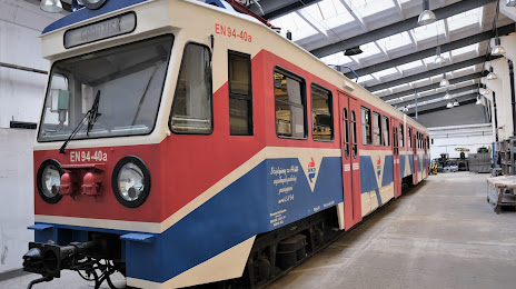
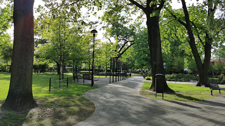
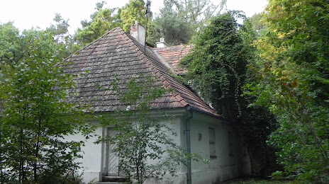
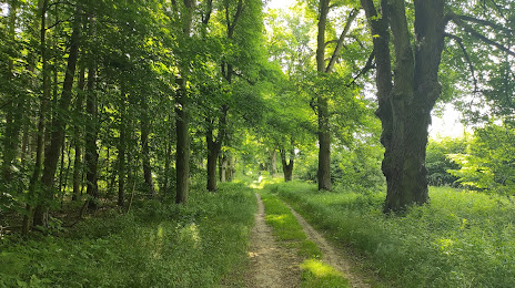
Attractions
Distance to the capital
Distance to the capital (Warsaw) is about — 29 km.