Ugdan — Zavyalovo
Ugdan — Selenki
Ugdan — Chernaya Kholunitsa
Ugdan — Marinino
Ugdan — Stepanovka
Ugdan — Snegirevka
Ugdan — Alexandrovka
Ugdan — Sivkovo
Ugdan — Khimki
Ugdan — Sverdlovskaya
Ugdan — Vyksa
Ugdan — Laryovo
Ugdan — Svetlogorsk
Ugdan — Bereznyaki
Ugdan — Chelny
Ugdan — Kisegach sanatoriy
Ugdan — Yemva
Ugdan — Manskiy
Ugdan — Dubki
Antipikha
Bogomyagkovo
Chernyshevsk
Bushuley
Zhireken
Aksyonovo-Zilovskoye
Kudecha
Mogocha
Amazar
Yerofey Pavlovich
Urusha
Takhtamygda
Skovorodino
Taldan
Magdagachinsky District
Magdagachi
Tygda
Ušumun
Shimanovsk
Uglegorsk
Ekaterinoslavka
Zavitinsk
Novobureyskiy
Obluchye
Iswestkowy
Birakan
Teploozersk
Birobidzhan
Smidovich
Partizanskoye
Berezovka
Khabarovsk
Khabarovskiy Aeroport
Vostochnoye
Knyaze-Volkonskoye
Mayak
Dubovyy Mys
Dada
Zavety Ilyicha
Vanino
Kholmsk
Anivskiy rayon
Dalnee
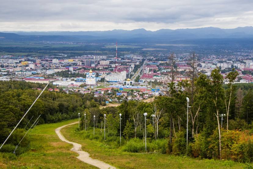
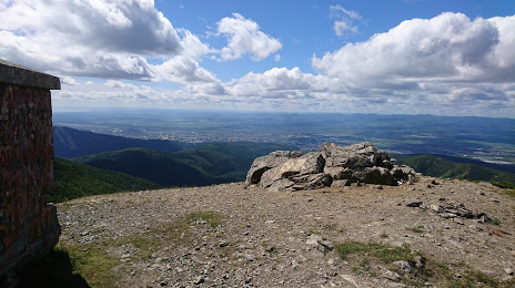
Ugdan — Yuzhno-Sakhalinsk distance, route on the map
Distance by car
Distance between Ugdan, Zabaykalskiy kray, Russian Federation and Yuzhno-Sakhalinsk, Sakhalin Oblast, Russian Federation by car is — km, or miles. To travel this distance by car, you need minute, or h.
Route on the map, driving directions
Car route Ugdan — Yuzhno-Sakhalinsk was created automatically. The road on the map is shown as a blue line. By moving the markers, you can create a new route through the points you need.
Passing cities through which the car route passes: Smolenka, Antipikha, Bogomyagkovo, Chernyshevsk, Bushuley, Zhireken, Aksyonovo-Zilovskoye, Kudecha, Mogocha, Amazar, Yerofey Pavlovich, Urusha, Takhtamygda, Skovorodino, Taldan, Magdagachinsky District, Magdagachi, Tygda, Ušumun, Shimanovsk, Uglegorsk, Ekaterinoslavka, Zavitinsk, Novobureyskiy, Obluchye, Iswestkowy, Birakan, Teploozersk, Birobidzhan, Smidovich, Partizanskoye, Berezovka, Khabarovsk, Khabarovskiy Aeroport, Vostochnoye, Knyaze-Volkonskoye, Mayak, Dubovyy Mys, Dada, Zavety Ilyicha, Vanino, Kholmsk, Anivskiy rayon, Dalnee.
Distance by plane
If you decide to take a trip Ugdan Yuzhno-Sakhalinsk by plane, then you have to fly the distance — 2176 km or 1349 miles. It is marked on the map with a gray line (between two points in a straight line).
Flight time
Estimated flight time Ugdan Yuzhno-Sakhalinsk by plane at cruising speed 750 km / h will be — 2 h. and 54 min.
Direction of movement
Russian Federation, Ugdan — right-hand traffic. Russian Federation, Yuzhno-Sakhalinsk — right-hand traffic.
Difference in time
Ugdan and Yuzhno-Sakhalinsk are in different time zones. The time difference is 1 hour (UTC +9 Asia/Yakutsk, UTC +10 Asia/Vladivostok).
Interesting Facts
Information on alternative ways to get to your destination.
The length of this distance is about 5.4% of the total length of the equator.
The cost of travel
Calculate the cost of the trip yourself using the fuel consumption calculator, changing the data in the table.