Amazcala — General Roberto Fierro Villalobos International Airport
Amazcala — The Marques
Amazcala — Maclovio Herrera
Amazcala — Villa las Nieves
Amazcala — Ciudad Serdán
Amazcala — San Blas
Amazcala — San Luis Amatlán
Amazcala — La Concha
Amazcala — Ubero
Amazcala — Monterrey International Airport
Amazcala — San Nicolás
Amazcala — The boat
Amazcala — Oaxaca
Amazcala — Atascaderos
Amazcala — Tabí
Amazcala — Tuxtepec
Amazcala — Llera
Amazcala — Ramos Arizpe
Amazcala — San Miguel Zapotitlán
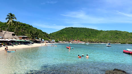
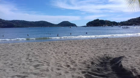
Amazcala — Zihuatanejo distance, route on the map
Distance by car
Distance between Amazcala, Querétaro, Mexico and Zihuatanejo, Guerrero, Mexico by car is — km, or miles. To travel this distance by car, you need minute, or h.
Route on the map, driving directions
Car route Amazcala — Zihuatanejo was created automatically. The road on the map is shown as a blue line. By moving the markers, you can create a new route through the points you need.
Distance by plane
If you decide to take a trip Amazcala Zihuatanejo by plane, then you have to fly the distance — 367 km or 228 miles. It is marked on the map with a gray line (between two points in a straight line).
Flight time
Estimated flight time Amazcala Zihuatanejo by plane at cruising speed 750 km / h will be — 29 min.
Direction of movement
Mexico, Amazcala — right-hand traffic. Mexico, Zihuatanejo — right-hand traffic.
Difference in time
Amazcala and Zihuatanejo are in the same time zone. Between them there is no time difference (UTC -6 America/Mexico_City).
Interesting Facts
Information on alternative ways to get to your destination.
The length of this distance is about 0.9% of the total length of the equator.
The percentage of the population is clearly shown in the graph:
Amazcala — 4,780 (less by 56,530), Zihuatanejo — 61,310 residents.
The cost of travel
Calculate the cost of the trip yourself using the fuel consumption calculator, changing the data in the table.