 Lamb County
Malone
McLain
Linneus
Woodbury
Russia
Goshen
Becket
Salona
Inger
Bucks
Como
Green Lake County
Peach County
Coal County
Oskar
Wax
Wildwood Crest
Leesburg
Lamb County
Malone
McLain
Linneus
Woodbury
Russia
Goshen
Becket
Salona
Inger
Bucks
Como
Green Lake County
Peach County
Coal County
Oskar
Wax
Wildwood Crest
Leesburg
Moorpark on the map, United States
Where is located Moorpark
Exact location — Moorpark, Ventura County, California, United States, marked on the map with a red marker.
Coordinates
Moorpark, United States coordinates in decimal format: latitude — 34.285558, longitude — -118.8820414. When converted to degrees, minutes, seconds Moorpark has the following coordinates: 34°17′8.01 north latitude and -118°52′55.35 east longitude.
Population
Moorpark, Ventura County, California, United States, according to our data the population is — 34,421 residents, which is about 0% of the total population of the country (United States).
Comparison of the population on the graph:
Exact time
Time zone for this location Moorpark — UTC -7 America/Los_Angeles. Exact time — friday, 4 april 2024 year, 01 h. 25 minutes.
Sunrise and sunset
Moorpark, sunrise and sunset data for a date — friday 26.04.2024.
| Sunrise | Sunset | Day (duration) |
|---|---|---|
| 06:13 -1 minute | 19:33 +1 minute | 13 h. 18 minutes. +2 minutes |
You can control the scale of the map using the auxiliary tools to find out exactly where it is located Moorpark. When you change the scale of the map, the width of the ruler also changes (in kilometers and miles).
Nearby cities
The largest cities that are located nearby:
- Simi Valley — 9 km
- Thousand Oaks — 13 km
- Oxnard — 29 km
- Santa Clarita — 31 km
- Santa Clarita — 33 km
- Universal City — 51 km
- Burbank — 54 km
- Glendale — 60 km
- Inglewood — 60 km
- Los Angeles — 64 km
- Pasadena — 69 km
- Torrance — 70 km
- East Los Angeles — 72 km
- Palmdale — 77 km
- Downey — 79 km
- Lancaster — 80 km
- El Monte — 82 km
- Norwalk — 85 km
- Long Beach — 85 km
Distance to neighboring capitals:
- Mexico City
 (Mexico) — 2554 km
 - Belmopan
 (Belize) — 3540 km
 - Guatemala City
 (Guatemala) — 3587 km
 - Ottawa
 (Canada) — 3838 km
 - Nuuk
 (Greenland) — 5527 km
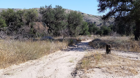
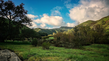
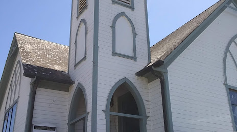
Attractions


Distance to the capital
Distance to the capital (Washington) is about — 3739 km.