
 Biscay
Laxe
Madrid
Cevico Navero
Villovela de Esgueva
Esquíroz
El Bujeo
Isla
Portonovo
Encinillas
Roda de Isábena
Urbanización del Torre Pilar
Tamariu
Serrania
A Coruña
Taberno
S'Agaró
Espinama
Montealegre
Biscay
Laxe
Madrid
Cevico Navero
Villovela de Esgueva
Esquíroz
El Bujeo
Isla
Portonovo
Encinillas
Roda de Isábena
Urbanización del Torre Pilar
Tamariu
Serrania
A Coruña
Taberno
S'Agaró
Espinama
Montealegre
Vic on the map, Spain
Where is located Vic
Exact location — Vic, Barcelona, Catalunya, Spain, marked on the map with a red marker.
Coordinates
Vic, Spain coordinates in decimal format: latitude — 41.9304373, longitude — 2.2544335. When converted to degrees, minutes, seconds Vic has the following coordinates: 41°55′49.57 north latitude and 2°15′15.96 east longitude.
Population
Vic, Barcelona, Catalunya, Spain, according to our data the population is — 39,844 residents, which is about 0.1% of the total population of the country (Spain).
Comparison of the population on the graph:
Exact time
Time zone for this location Vic — UTC +2 Europe/Madrid. Exact time — friday, 5 may 2024 year, 15 h. 58 minutes.
Sunrise and sunset
Vic, sunrise and sunset data for a date — friday 10.05.2024.
| Sunrise | Sunset | Day (duration) |
|---|---|---|
| 06:38 -1 minute | 20:56 +1 minute | 14 h. 18 minutes. +2 minutes |
You can control the scale of the map using the auxiliary tools to find out exactly where it is located Vic. When you change the scale of the map, the width of the ruler also changes (in kilometers and miles).
Nearby cities
The largest cities that are located nearby:
- Sabadell — 44 km
- Terrassa — 45 km
- Mataró — 46 km
- Badalona — 53 km
- Santa Coloma de Gramenet — 54 km
- L'Hospitalet de Llobregat — 63 km
- Perpignan
 (France) — 99 km
 - Tarragona — 123 km
- Lleida — 139 km
- Toulouse (France) — 196 km
- Montpellier (France) — 227 km
- Zaragoza — 262 km
- Palma — 263 km
- Nimes (France) — 269 km
- Marseille (France) — 293 km
- Aix-en-Provence (France) — 311 km
- Toulon (France) — 325 km
- Pamplona — 331 km
- Valencia — 353 km
Distance to neighboring capitals:
- Andorra la Vella
 (Andorra) — 88 km
 - Paris (France) — 770 km
- Paris (France) — 770 km
- Lisbon
 (Portugal) — 1029 km
 - Rabat
 (Morocco) — 1191 km
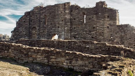
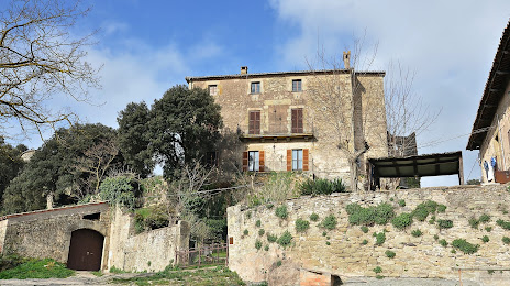
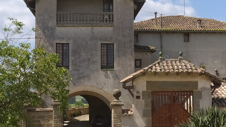
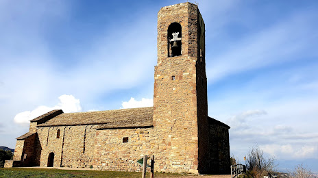
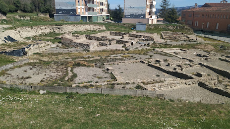
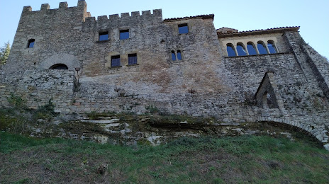
Attractions


Distance to the capital
Distance to the capital (Madrid) is about — 526 km.