
 Nieborów
Recz
Rydułtowy
Tuchów
Choszczno
Kutno
Strzelce
Strzelce Opolskie
Grybów
Stanisławów
Kazimierz Dolny
Mielnik
Czerwonak
Lipie
Lewin Kłodzki
Pacyna
Bielsk
Lipinki Luzyckie
Krupski Młyn
Nieborów
Recz
Rydułtowy
Tuchów
Choszczno
Kutno
Strzelce
Strzelce Opolskie
Grybów
Stanisławów
Kazimierz Dolny
Mielnik
Czerwonak
Lipie
Lewin Kłodzki
Pacyna
Bielsk
Lipinki Luzyckie
Krupski Młyn
Chełmno on the map, Poland
Where is located Chełmno
Exact location — Chełmno, Chełmno County, Kuyavian-Pomeranian Voivodeship, Poland, marked on the map with a red marker.
Coordinates
Chełmno, Poland coordinates in decimal format: latitude — 53.34842, longitude — 18.42499. When converted to degrees, minutes, seconds Chełmno has the following coordinates: 53°20′54.31 north latitude and 18°25′29.96 east longitude.
Population
Chełmno, Chełmno County, Kuyavian-Pomeranian Voivodeship, Poland, according to our data the population is — 20,576 residents, which is about 0.1% of the total population of the country (Poland).
Comparison of the population on the graph:
Exact time
Time zone for this location Chełmno — UTC +2 Europe/Warsaw. Exact time — thursday, 5 may 2024 year, 08 h. 45 minutes.
Sunrise and sunset
Chełmno, sunrise and sunset data for a date — thursday 9.05.2024.
| Sunrise | Sunset | Day (duration) |
|---|---|---|
| 05:00 -1 minute | 20:25 +2 minutes | 15 h. 24 minutes. +3 minutes |
You can control the scale of the map using the auxiliary tools to find out exactly where it is located Chełmno. When you change the scale of the map, the width of the ruler also changes (in kilometers and miles).
Nearby cities
The largest cities that are located nearby:
- Bydgoszcz — 37 km
- Torun — 39 km
- Wloclawek — 89 km
- Elblag — 110 km
- Gdańsk — 112 km
- Plock — 124 km
- Gdynia — 130 km
- Olsztyn — 142 km
- Poznań — 145 km
- Koszalin — 173 km
- Kalisz — 176 km
- Łódź — 189 km
- Kaliningrad
 (Russia) — 202 km
 - Gorzów Wielkopolski — 224 km
- Zielona Gora — 253 km
- Szczecin — 255 km
- Wrocław — 266 km
- Legnica — 284 km
- Częstochowa — 285 km
Distance to neighboring capitals:
- Berlin
 (Germany) — 349 km
 - Prague
 (Czech Republic) — 456 km
 - Copenhagen
 (Denmark) — 458 km
 - Vilnius
 (Lithuania) — 472 km
 - Rīga
 (Latvia) — 539 km
 - Bratislava
 (Slovakia) — 586 km
 - Vienna
 (Austria) — 590 km
 - Minsk
 (Belarus) — 605 km
 - Budapest
 (Hungary) — 652 km
 - Helsinki
 (Finland) — 856 km
 - Kyiv
 (Ukraine) — 889 km
 - Amsterdam
 (Netherlands) — 914 km
 - Belgrade
 (Serbia) — 964 km
 - Bern
 (Switzerland) — 1056 km
 - Bucharest
 (Romania) — 1139 km
 - Paris
 (France) — 1225 km
 - Moscow (Russia) — 1262 km
- Tbilisi
 (Georgia) — 2344 km
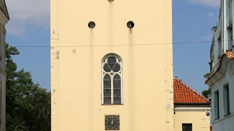
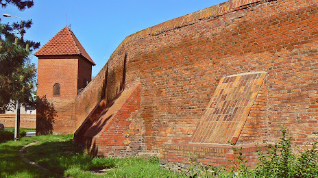
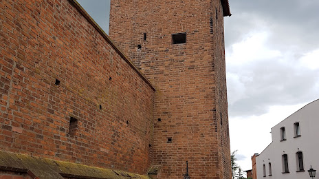
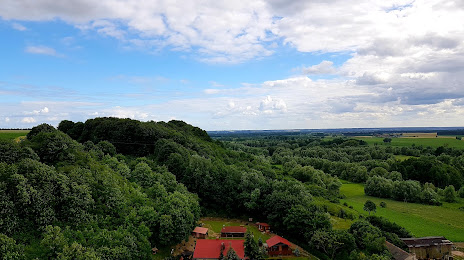
Attractions


Distance to the capital
Distance to the capital (Warsaw) is about — 214 km.