Zitlaltepec — Atotonilco
Zitlaltepec — San Pedro Pochutla
Zitlaltepec — Puerto Peñasco
Zitlaltepec — San Lucas Tecopilco
Zitlaltepec — Banderas Bay
Zitlaltepec — Atenquique
Zitlaltepec — Baviácora
Zitlaltepec — Saloya 2da
Zitlaltepec — Ciudad López Mateos
Zitlaltepec — Xoxocotla
Zitlaltepec — San Ignacio Cerro Gordo
Zitlaltepec — Mexico City
Zitlaltepec — Ahualulco de Mercado
Zitlaltepec — Mineral de la Reforma
Zitlaltepec — Valle de Guadalupe
Zitlaltepec — Zaragoza
Zitlaltepec — Cantamayec
Zitlaltepec — Charco Blanco
Zitlaltepec — Matías Romero
Tepatlaxco de Hidalgo
San Pablo del Monte
Real del Monte
Puebla City
Puebla
Tlaxcalancingo
Chipilo
Atlixco
Atlixco
Tochimilco
Temoac
Jantetelco
Amayuca
Xalostoc
Huexca
Cuautla
Ciudad Ayala
Ciudad Ayala
Morelos
Tlaltizapán
Tlaquiltenango
Jojutla
Jojutla
Nicolás Bravo
Tequesquitengo
Tehuixtla
Roads
Chilpancingo
Chilpancingo
Palo Blanco
Julian White
Tierra Colorada
Kilómetro 30
Lomas de San Juan
New Frontier
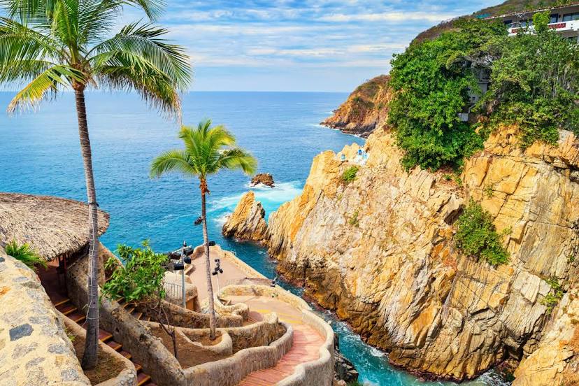
Zitlaltepec — Acapulco distance, route on the map
Distance by car
Distance between Zitlaltepec, Tlaxcala, Mexico and Acapulco, Guerrero, Mexico by car is — km, or miles. To travel this distance by car, you need minute, or h.
Route on the map, driving directions
Car route Zitlaltepec — Acapulco was created automatically. The road on the map is shown as a blue line. By moving the markers, you can create a new route through the points you need.
Passing cities through which the car route passes: Acajete, Tepatlaxco de Hidalgo, San Pablo del Monte, Real del Monte, Puebla City, Puebla, Tlaxcalancingo, Chipilo, Atlixco, Atlixco, Tochimilco, Temoac, Jantetelco, Amayuca, Xalostoc, Huexca, Cuautla, Ciudad Ayala, Ciudad Ayala, Morelos, Tlaltizapán, Tlaquiltenango, Jojutla, Jojutla, Nicolás Bravo, Tequesquitengo, Tehuixtla, Roads, Chilpancingo, Chilpancingo, Palo Blanco, Julian White, Tierra Colorada, Kilómetro 30, Lomas de San Juan, New Frontier.
Distance by plane
If you decide to take a trip Zitlaltepec Acapulco by plane, then you have to fly the distance — 333 km or 206 miles. It is marked on the map with a gray line (between two points in a straight line).
Flight time
Estimated flight time Zitlaltepec Acapulco by plane at cruising speed 750 km / h will be — 26 min.
Direction of movement
Mexico, Zitlaltepec — right-hand traffic. Mexico, Acapulco — right-hand traffic.
Difference in time
Zitlaltepec and Acapulco are in the same time zone. Between them there is no time difference (UTC -6 America/Mexico_City).
Interesting Facts
Information on alternative ways to get to your destination.
The length of this distance is about 0.8% of the total length of the equator.
The percentage of the population is clearly shown in the graph:
Zitlaltepec — 6,280 (less by 645,880), Acapulco — 652,160 residents.
The cost of travel
Calculate the cost of the trip yourself using the fuel consumption calculator, changing the data in the table.