
 Wemmershoek
Cibeni
Skukuza
Kuruman
Ladybrand
Ficksburg
Hartswater
Postmasburg
Moshana
Welverdiend
Fraserburg
Edenville
Free State
Bredasdorp
Piketberg
Gouritz
Sebokeng
Roodepoort
Riviersonderend
Wemmershoek
Cibeni
Skukuza
Kuruman
Ladybrand
Ficksburg
Hartswater
Postmasburg
Moshana
Welverdiend
Fraserburg
Edenville
Free State
Bredasdorp
Piketberg
Gouritz
Sebokeng
Roodepoort
Riviersonderend
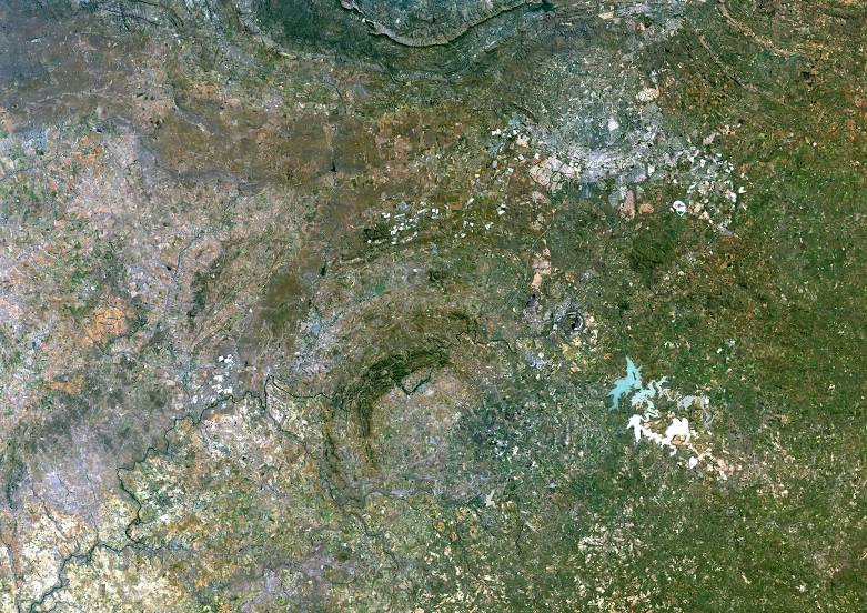
Parys on the map, South Africa
Where is located Parys
Exact location — Parys, Northern Free State, Free State, South Africa, marked on the map with a red marker.
Coordinates
Parys, South Africa coordinates in decimal format: latitude — -26.9110891, longitude — 27.4908738. When converted to degrees, minutes, seconds Parys has the following coordinates: -26°54′39.92 north latitude and 27°29′27.15 east longitude.
Population
Parys, Northern Free State, Free State, South Africa, according to our data the population is — 71,319 residents, which is about 0.1% of the total population of the country (South Africa).
Comparison of the population on the graph:
Exact time
Time zone for this location Parys — UTC +2 Africa/Johannesburg. Exact time — sunday, 4 april 2024 year, 06 h. 37 minutes.
Sunrise and sunset
Parys, sunrise and sunset data for a date — sunday 28.04.2024.
| Sunrise | Sunset | Day (duration) |
|---|---|---|
| 06:36 +1 minute | 17:38 -1 minute | 11 h. 0 minutes. -2 minutes |
You can control the scale of the map using the auxiliary tools to find out exactly where it is located Parys. When you change the scale of the map, the width of the ruler also changes (in kilometers and miles).
Nearby cities
The largest cities that are located nearby:
- Vanderbijlpark — 41 km
- Potchefstroom — 45 km
- Vereeniging — 51 km
- Carletonville — 62 km
- Westonaria — 68 km
- Orkney — 81 km
- Soweto — 82 km
- Randfontein — 84 km
- Klerksdorp — 85 km
- Kroonstad — 85 km
- Krugersdorp — 94 km
- Johannesburg — 96 km
- Roodepoort — 96 km
- Boksburg — 106 km
- Nigel — 112 km
- Benoni — 115 km
- Midrand — 119 km
- Springs — 119 km
- Diepsloot — 119 km
Distance to neighboring capitals:
- Maseru
 (Lesotho) — 267 km
 - Gaborone
 (Botswana) — 296 km
 - Mbabane
 (Swaziland) — 368 km
 - 2631 Maputo
 (Mozambique) — 518 km
 - Windhoek
 (Namibia) — 1156 km
 - Lilongwe
 (Malawi) — 1580 km
 - Luanda
 (Angola) — 2508 km
 - Dar es Salaam
 (Tanzania) — 2561 km
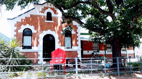
Attractions

Distance to the capital
Distance to the capital (Pretoria) is about — 147 km.