Tbilisskaya — Cherntsy
Tbilisskaya — Scolkovo
Tbilisskaya — Tynda
Tbilisskaya — Gorino
Tbilisskaya — Bayazitovo
Tbilisskaya — Kokshanskiy Zavod
Tbilisskaya — Kolyupanovo
Tbilisskaya — Pervomayskiy
Tbilisskaya — Galkin
Tbilisskaya — Batyrevo
Tbilisskaya — Chaltyr'
Tbilisskaya — Karasuk
Tbilisskaya — Morgaushi
Tbilisskaya — Tbilissky District
Tbilisskaya — Russkiy Yurmash
Tbilisskaya — Sol-Iletsk
Tbilisskaya — Kotlyarevskaya
Tbilisskaya — Safonovo
Tbilisskaya — Kodochigi
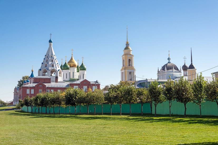
Tbilisskaya — Kolomna distance, route on the map
Distance by car
Distance between Tbilisskaya, Krasnodar Krai, Russian Federation and Kolomna, Moscow Oblast, Russian Federation by car is — km, or miles. To travel this distance by car, you need minute, or h.
Route on the map, driving directions
Car route Tbilisskaya — Kolomna was created automatically. The road on the map is shown as a blue line. By moving the markers, you can create a new route through the points you need.
Distance by plane
If you decide to take a trip Tbilisskaya Kolomna by plane, then you have to fly the distance — 1087 km or 674 miles. It is marked on the map with a gray line (between two points in a straight line).
Flight time
Estimated flight time Tbilisskaya Kolomna by plane at cruising speed 750 km / h will be — 1 h. and 26 min.
Direction of movement
Russian Federation, Tbilisskaya — right-hand traffic. Russian Federation, Kolomna — right-hand traffic.
Difference in time
Tbilisskaya and Kolomna are in the same time zone. Between them there is no time difference (UTC +3 Europe/Moscow).
Interesting Facts
Information on alternative ways to get to your destination.
The length of this distance is about 2.7% of the total length of the equator.
The cost of travel
Calculate the cost of the trip yourself using the fuel consumption calculator, changing the data in the table.