 Duran
Lauren
Iberia Parish
Gouverneur
Cabery
Paris
Tokio
Calpet
El Jebel
Booker
Fulton
Roselle Park
Newark
Foil
Jones County
Aurora
Walnut Grove
Rice County
Idaho
Duran
Lauren
Iberia Parish
Gouverneur
Cabery
Paris
Tokio
Calpet
El Jebel
Booker
Fulton
Roselle Park
Newark
Foil
Jones County
Aurora
Walnut Grove
Rice County
Idaho
Frisco on the map, United States
Where is located Frisco
Exact location — Frisco, Collin County, Texas, United States, marked on the map with a red marker.
Coordinates
Frisco, United States coordinates in decimal format: latitude — 33.1506744, longitude — -96.8236116. When converted to degrees, minutes, seconds Frisco has the following coordinates: 33°9′2.43 north latitude and -96°49′25 east longitude.
Population
Frisco, Collin County, Texas, United States, according to our data the population is — 116,989 residents, which is about 0% of the total population of the country (United States).
Comparison of the population on the graph:
Exact time
Time zone for this location Frisco — UTC -5 America/Chicago. Exact time — friday, 4 april 2024 year, 12 h. 14 minutes.
Sunrise and sunset
Frisco, sunrise and sunset data for a date — friday 26.04.2024.
| Sunrise | Sunset | Day (duration) |
|---|---|---|
| 06:46 -1 minute | 20:03 +1 minute | 13 h. 18 minutes. +2 minutes |
You can control the scale of the map using the auxiliary tools to find out exactly where it is located Frisco. When you change the scale of the map, the width of the ruler also changes (in kilometers and miles).
Nearby cities
The largest cities that are located nearby:
- Plano — 19 km
- Carrollton — 20 km
- Richardson — 24 km
- Denton — 29 km
- Garland — 31 km
- Irving — 39 km
- Dallas — 41 km
- Mesquite — 47 km
- Grand Prairie — 48 km
- Arlington — 53 km
- Fort Worth — 64 km
- Wichita Falls — 175 km
- Waco — 180 km
- Norman — 236 km
- Killeen — 241 km
- Oklahoma City — 264 km
- Abilene — 282 km
- Shreveport — 295 km
- Austin — 331 km
Distance to neighboring capitals:
- Mexico City
 (Mexico) — 1543 km
 - Belmopan
 (Belize) — 1944 km
 - Guatemala City
 (Guatemala) — 2157 km
 - Ottawa
 (Canada) — 2262 km
 - Nuuk
 (Greenland) — 4608 km
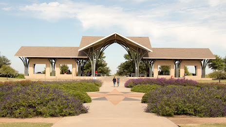
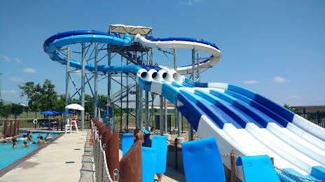
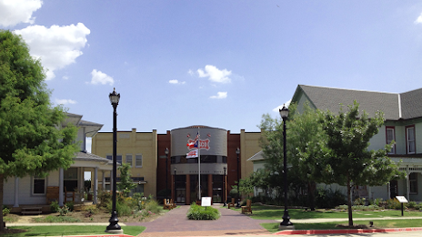
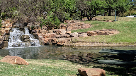
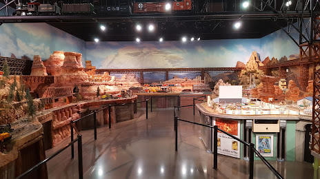
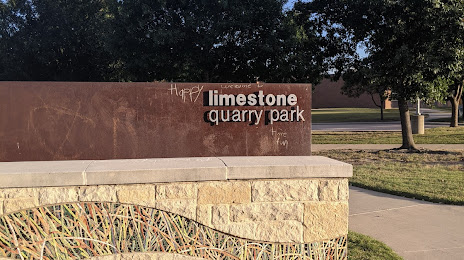
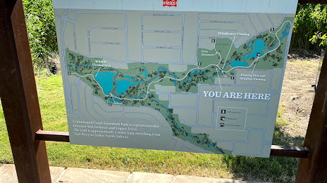
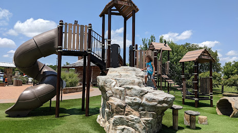
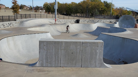
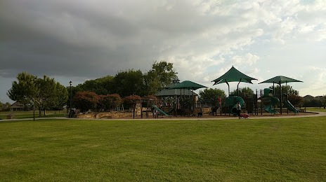
Attractions


Distance to the capital
Distance to the capital (Washington) is about — 1887 km.