 Bagdad
Rockford
Lolo
Iron County
Red Lion-Sheraton Hotel Heliport
Arctic Village Airport
Tavera
Westphalia
Landmark
Caldera
Greenville
Varna
Glasgow
Florette
Union Bridge
Sky Harbor Airport-S86
Shiloh
Admiral
Ellerbe
Bagdad
Rockford
Lolo
Iron County
Red Lion-Sheraton Hotel Heliport
Arctic Village Airport
Tavera
Westphalia
Landmark
Caldera
Greenville
Varna
Glasgow
Florette
Union Bridge
Sky Harbor Airport-S86
Shiloh
Admiral
Ellerbe
Florida City on the map, United States
Where is located Florida City
Exact location — Florida City, Miami-Dade County, Florida, United States, marked on the map with a red marker.
Coordinates
Florida City, United States coordinates in decimal format: latitude — 25.4478898, longitude — -80.4792237. When converted to degrees, minutes, seconds Florida City has the following coordinates: 25°26′52.4 north latitude and -80°28′45.21 east longitude.
Population
Florida City, Miami-Dade County, Florida, United States, according to our data the population is — 11,245 residents, which is about 0% of the total population of the country (United States).
Comparison of the population on the graph:
Exact time
Time zone for this location Florida City — UTC -4 America/New_York. Exact time — friday, 4 april 2024 year, 22 h. 34 minutes.
Sunrise and sunset
Florida City, sunrise and sunset data for a date — friday 26.04.2024.
| Sunrise | Sunset | Day (duration) |
|---|---|---|
| 06:51 -1 minute | 19:47 -0 minutes | 12 h. 54 minutes. +1 minute |
You can control the scale of the map using the auxiliary tools to find out exactly where it is located Florida City. When you change the scale of the map, the width of the ruler also changes (in kilometers and miles).
Nearby cities
The largest cities that are located nearby:
- Miami — 45 km
- Hialeah — 50 km
- Miramar — 62 km
- Pembroke Pines — 65 km
- Hollywood — 70 km
- Fort Lauderdale — 82 km
- Coral Springs — 93 km
- Cape Coral — 191 km
- Port Saint Lucie — 202 km
- Matanzas
 (Cuba) — 288 km
 - Havana (Cuba) — 312 km
- Nassau
 (The Bahamas) — 317 km
 - Brandon — 327 km
- Saint Petersburg — 333 km
- Tampa — 337 km
- Santa Clara (Cuba) — 339 km
- Orlando — 353 km
- Clearwater — 359 km
- Ciego De Avila (Cuba) — 436 km
Distance to neighboring capitals:
- Belmopan
 (Belize) — 1251 km
 - Guatemala City
 (Guatemala) — 1597 km
 - Mexico City
 (Mexico) — 2029 km
 - Ottawa
 (Canada) — 2262 km
 - Nuuk
 (Greenland) — 4780 km
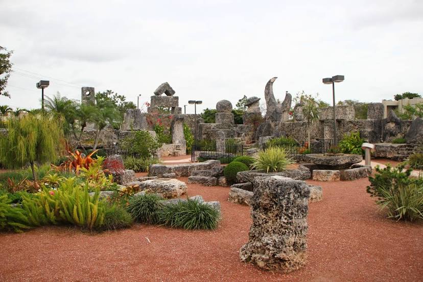
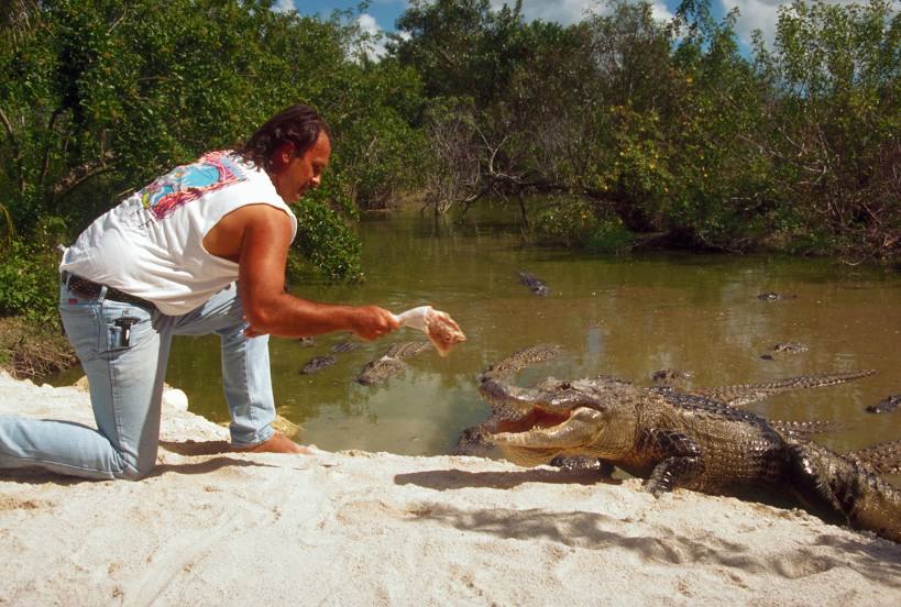
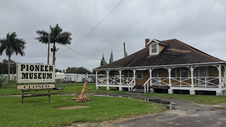
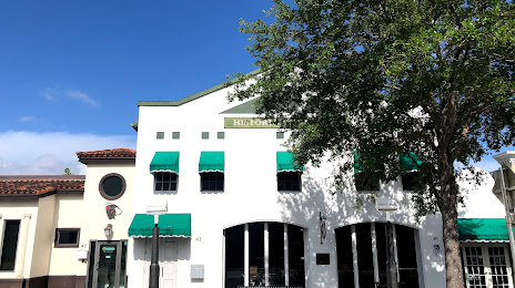
Attractions


Distance to the capital
Distance to the capital (Washington) is about — 1531 km.