Poblado Alfredo V. Bonfil — Playa del Carmen Airport
Poblado Alfredo V. Bonfil — Tlapa de Comonfort
Poblado Alfredo V. Bonfil — Mexico City
Poblado Alfredo V. Bonfil — Tepalcatepec
Poblado Alfredo V. Bonfil — Caobas
Poblado Alfredo V. Bonfil — Boyé
Poblado Alfredo V. Bonfil — Federal District
Poblado Alfredo V. Bonfil — La Providencia
Poblado Alfredo V. Bonfil — Good view
Poblado Alfredo V. Bonfil — San José de la Peña
Poblado Alfredo V. Bonfil — Puerto de Buenavista
Poblado Alfredo V. Bonfil — San Diego de la Unión
Poblado Alfredo V. Bonfil — La Concordia
Poblado Alfredo V. Bonfil — El Sol
Poblado Alfredo V. Bonfil — Allende
Poblado Alfredo V. Bonfil — San Fernando
Poblado Alfredo V. Bonfil — Cuatrociénegas Municipality
Poblado Alfredo V. Bonfil — La Cañada
Poblado Alfredo V. Bonfil — Doctor Arroyo
San Luis
Poblado Alfredo V. Bonfil — Playa del Carmen Airport
Poblado Alfredo V. Bonfil — Tlapa de Comonfort
Poblado Alfredo V. Bonfil — Mexico City
Poblado Alfredo V. Bonfil — Tepalcatepec
Poblado Alfredo V. Bonfil — Caobas
Poblado Alfredo V. Bonfil — Boyé
Poblado Alfredo V. Bonfil — Federal District
Poblado Alfredo V. Bonfil — La Providencia
Poblado Alfredo V. Bonfil — Good view
Poblado Alfredo V. Bonfil — San José de la Peña
Poblado Alfredo V. Bonfil — Puerto de Buenavista
Poblado Alfredo V. Bonfil — San Diego de la Unión
Poblado Alfredo V. Bonfil — La Concordia
Poblado Alfredo V. Bonfil — El Sol
Poblado Alfredo V. Bonfil — Allende
Poblado Alfredo V. Bonfil — San Fernando
Poblado Alfredo V. Bonfil — Cuatrociénegas Municipality
Poblado Alfredo V. Bonfil — La Cañada
Poblado Alfredo V. Bonfil — Doctor Arroyo
San Luis  San Luis Río Colorado
General Plutarco Elías Calles
Sonoyta
La Estación
Caborca
Pitiquito Municipality
Altar Municipality
Altar Municipality
Oquitoa
Saint Ana
Benjamín Hill
Hermosillo
Hacienda La Poza
El Golfo de Santa Clara
Empalme
Vícam
La Loma de Bácum
La Loma de Bácum
Cócorit
Fundición
Navojoa
Bacabachi
Estación Luis
Dolores Hidalgo
Chávez Talamantes
Licenciado Gustavo Díaz Ordaz
San Miguel Zapotitlán
Los Mochis
Juan José Ríos
Adolfo Ruiz Cortines
Batamote
Cinco de Mayo
Guasave
Angostura
Colonia Independencia
Costa Rica
Isabelita
Loma
Ceuta
San Ignacio
Mazatlán
Mazatlán International Airport
Villa Unión
El Huajote
El Rosario
Reform
La Concha
Tecuala
Rosamorada
San Luis Río Colorado
General Plutarco Elías Calles
Sonoyta
La Estación
Caborca
Pitiquito Municipality
Altar Municipality
Altar Municipality
Oquitoa
Saint Ana
Benjamín Hill
Hermosillo
Hacienda La Poza
El Golfo de Santa Clara
Empalme
Vícam
La Loma de Bácum
La Loma de Bácum
Cócorit
Fundición
Navojoa
Bacabachi
Estación Luis
Dolores Hidalgo
Chávez Talamantes
Licenciado Gustavo Díaz Ordaz
San Miguel Zapotitlán
Los Mochis
Juan José Ríos
Adolfo Ruiz Cortines
Batamote
Cinco de Mayo
Guasave
Angostura
Colonia Independencia
Costa Rica
Isabelita
Loma
Ceuta
San Ignacio
Mazatlán
Mazatlán International Airport
Villa Unión
El Huajote
El Rosario
Reform
La Concha
Tecuala
Rosamorada
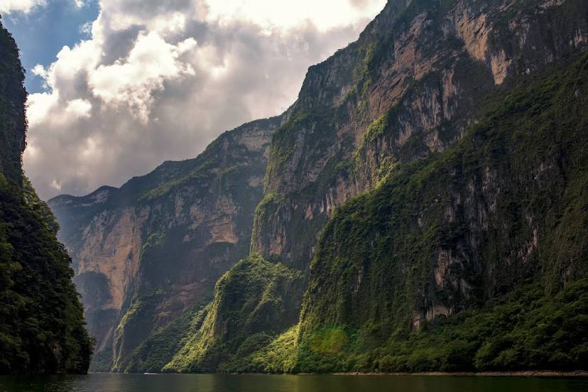
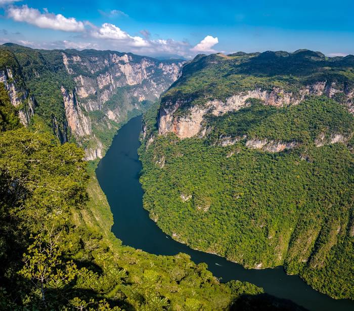
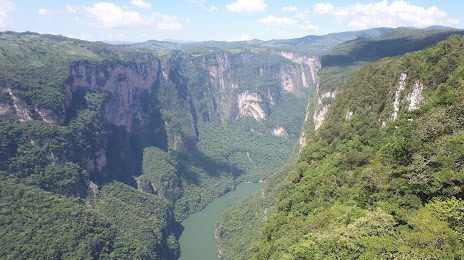
Poblado Alfredo V. Bonfil — Tuxtla Gutiérrez distance, route on the map
Distance by car
Distance between Poblado Alfredo V. Bonfil, Baja California, Mexico and Tuxtla Gutiérrez, Chiapas, Mexico by car is — km, or miles. To travel this distance by car, you need minute, or h.
Route on the map, driving directions
Car route Poblado Alfredo V. Bonfil — Tuxtla Gutiérrez was created automatically. The road on the map is shown as a blue line. By moving the markers, you can create a new route through the points you need.
Passing cities through which the car route passes: Crucero del Toluca, San Luis (us), San Luis Río Colorado, General Plutarco Elías Calles, Sonoyta, La Estación, Caborca, Pitiquito Municipality, Altar Municipality, Altar Municipality, Oquitoa, Saint Ana, Benjamín Hill, Hermosillo, Hacienda La Poza, El Golfo de Santa Clara, Empalme, Vícam, La Loma de Bácum, La Loma de Bácum, Cócorit, Fundición, Navojoa, Bacabachi, Estación Luis, Dolores Hidalgo, Chávez Talamantes, Licenciado Gustavo Díaz Ordaz, San Miguel Zapotitlán, Los Mochis, Juan José Ríos, Adolfo Ruiz Cortines, Batamote, Cinco de Mayo, Guasave, Angostura, Colonia Independencia, Costa Rica, Isabelita, Loma, Ceuta, San Ignacio, Mazatlán, Mazatlán International Airport, Villa Unión, El Huajote, El Rosario, Reform, La Concha, Tecuala, Rosamorada.
Distance by plane
If you decide to take a trip Poblado Alfredo V. Bonfil Tuxtla Gutiérrez by plane, then you have to fly the distance — 2808 km or 1741 miles. It is marked on the map with a gray line (between two points in a straight line).
Flight time
Estimated flight time Poblado Alfredo V. Bonfil Tuxtla Gutiérrez by plane at cruising speed 750 km / h will be — 3 h. and 44 min.
Direction of movement
Mexico, Poblado Alfredo V. Bonfil — right-hand traffic. Mexico, Tuxtla Gutiérrez — right-hand traffic.
Difference in time
Poblado Alfredo V. Bonfil and Tuxtla Gutiérrez are in different time zones. The time difference is 1 hour (UTC -7 America/Tijuana, UTC -6 America/Mexico_City).
Interesting Facts
Information on alternative ways to get to your destination.
The length of this distance is about 7.0% of the total length of the equator.
The cost of travel
Calculate the cost of the trip yourself using the fuel consumption calculator, changing the data in the table.