Les Abrets — Izieu
Les Abrets — Saint-Vincent-Sterlanges
Les Abrets — Hotonnes
Les Abrets — Saint-Pardoux-la-Rivière
Les Abrets — Brion
Les Abrets — Le Cailar
Les Abrets — Pont-Évêque
Les Abrets — Bettwiller
Les Abrets — La Belliole
Les Abrets — Vandré
Les Abrets — Saint-Avertin
Les Abrets — Saint-Georges-de-Noisné
Les Abrets — Longuyon
Les Abrets — Magny-le-Hongre
Les Abrets — Saint-Gervais
Les Abrets — Lézignan-Corbières
Les Abrets — Cahuzac-sur-Vère
Les Abrets — Bessans
Les Abrets — Ouanne
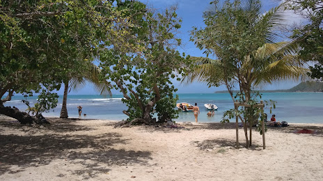
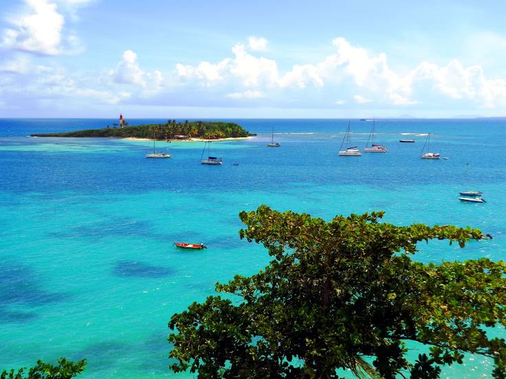
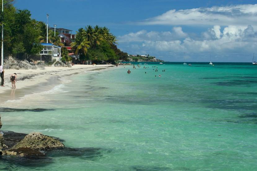
Les Abrets — Le Gosier distance, route on the map
Distance by car
Distance between Les Abrets, Auvergne-Rhône-Alpes, France and Le Gosier, Grande-Terre, France by car is — km, or miles. To travel this distance by car, you need minute, or h.
Route on the map, driving directions
Car route Les Abrets — Le Gosier was created automatically. The road on the map is shown as a blue line. By moving the markers, you can create a new route through the points you need.
Distance by plane
If you decide to take a trip Les Abrets Le Gosier by plane, then you have to fly the distance — 6950 km or 4309 miles. It is marked on the map with a gray line (between two points in a straight line).
Flight time
Estimated flight time Les Abrets Le Gosier by plane at cruising speed 750 km / h will be — 9 h. and 16 min.
Direction of movement
France, Les Abrets — right-hand traffic. France, Le Gosier — right-hand traffic.
Difference in time
Les Abrets and Le Gosier are in different time zones. The time difference is 6 hours (UTC +2 Europe/Paris, UTC -4 America/Guadeloupe).
Interesting Facts
Information on alternative ways to get to your destination.
The length of this distance is about 17.3% of the total length of the equator.
The percentage of the population is clearly shown in the graph:
Les Abrets — 2,924 (less by 25,774), Le Gosier — 28,698 residents.
The cost of travel
Calculate the cost of the trip yourself using the fuel consumption calculator, changing the data in the table.