
 Fornes
Almontaras
Alamedilla
Galilea
Ribas de Sil
El Perellonet
Gulúa
Muxía
Etura
Balmaseda
Unzué
Bulnes
San Isidro
Pinos del Valle
La Playa
Villamartín
Álava
Villarino de Manzanas
Valles
Fornes
Almontaras
Alamedilla
Galilea
Ribas de Sil
El Perellonet
Gulúa
Muxía
Etura
Balmaseda
Unzué
Bulnes
San Isidro
Pinos del Valle
La Playa
Villamartín
Álava
Villarino de Manzanas
Valles
Caldes de Montbui on the map, Spain
Where is located Caldes de Montbui
Exact location — Barcelona, Catalonia, Spain, marked on the map with a red marker.
Coordinates
Caldes de Montbui, Spain coordinates in decimal format: latitude — 41.6316583, longitude — 2.1668706. When converted to degrees, minutes, seconds Caldes de Montbui has the following coordinates: 41°37′53.97 north latitude and 2°10′0.73 east longitude.
Population
Barcelona, Catalonia, Spain, according to our data the population is — 16,885 residents, which is about 0% of the total population of the country (Spain).
Comparison of the population on the graph:
Exact time
Time zone for this location Caldes de Montbui — UTC +2 Europe/Madrid. Exact time — wednesday, 5 may 2024 year, 16 h. 51 minute.
Sunrise and sunset
Caldes de Montbui, sunrise and sunset data for a date — wednesday 8.05.2024.
| Sunrise | Sunset | Day (duration) |
|---|---|---|
| 06:41 -2 minutes | 20:53 +1 minute | 14 h. 12 minutes. +3 minutes |
You can control the scale of the map using the auxiliary tools to find out exactly where it is located Caldes de Montbui. When you change the scale of the map, the width of the ruler also changes (in kilometers and miles).
Nearby cities
The largest cities that are located nearby:
- Sabadell — 11 km
- Terrassa — 15 km
- Santa Coloma de Gramenet — 21 km
- Badalona — 21 km
- Mataró — 25 km
- L'Hospitalet de Llobregat — 30 km
- Tarragona — 95 km
- Lleida — 128 km
- Perpignan
 (France) — 131 km
 - Toulouse (France) — 226 km
- Palma — 232 km
- Zaragoza — 252 km
- Montpellier (France) — 258 km
- Nimes (France) — 300 km
- Marseille (France) — 317 km
- Valencia — 323 km
- Pamplona — 336 km
- Aix-en-Provence (France) — 336 km
- Toulon (France) — 345 km
Distance to neighboring capitals:
- Andorra la Vella
 (Andorra) — 111 km
 - Paris (France) — 804 km
- Paris (France) — 804 km
- Lisbon
 (Portugal) — 1013 km
 - Rabat
 (Morocco) — 1162 km
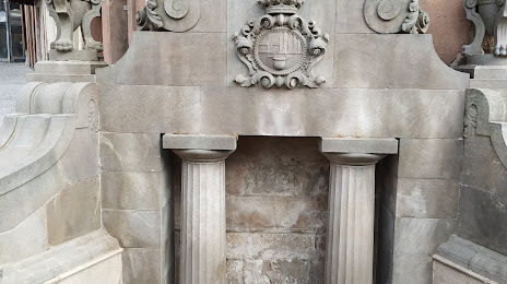
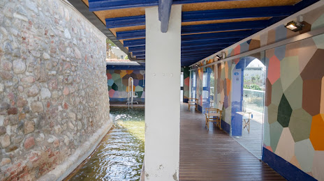
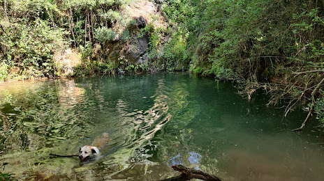
Attractions


Distance to the capital
Distance to the capital (Madrid) is about — 511 km.