 Newark Liberty International Airport
Elsmere
Dallas Executive Airport-RBD
Adell
Rye
Toto
Allegheny County
Lay
Lay
Boon
Hudson
Oak
Greenfield Center
Heathrow
Mount Etna
Korea
Mier
Cromwell
Upper Darby
Newark Liberty International Airport
Elsmere
Dallas Executive Airport-RBD
Adell
Rye
Toto
Allegheny County
Lay
Lay
Boon
Hudson
Oak
Greenfield Center
Heathrow
Mount Etna
Korea
Mier
Cromwell
Upper Darby
Lorain on the map, United States
Where is located Lorain
Exact location — Lorain, Lorain County, Ohio, United States, marked on the map with a red marker.
Coordinates
Lorain, United States coordinates in decimal format: latitude — 41.452819, longitude — -82.1823746. When converted to degrees, minutes, seconds Lorain has the following coordinates: 41°27′10.15 north latitude and -82°10′56.55 east longitude.
Population
Lorain, Lorain County, Ohio, United States, according to our data the population is — 64,097 residents, which is about 0% of the total population of the country (United States).
Comparison of the population on the graph:
Exact time
Time zone for this location Lorain — UTC -4 America/New_York. Exact time — friday, 4 april 2024 year, 11 h. 13 minutes.
Sunrise and sunset
Lorain, sunrise and sunset data for a date — friday 26.04.2024.
| Sunrise | Sunset | Day (duration) |
|---|---|---|
| 06:34 -2 minutes | 20:18 +1 minute | 13 h. 42 minutes. +3 minutes |
You can control the scale of the map using the auxiliary tools to find out exactly where it is located Lorain. When you change the scale of the map, the width of the ruler also changes (in kilometers and miles).
Nearby cities
The largest cities that are located nearby:
- Cleveland — 41 km
- Akron — 69 km
- Aurora — 71 km
- Toledo — 116 km
- Windsor
 (Canada) — 118 km
 - Detroit — 120 km
- Warren — 136 km
- Sterling Heights — 142 km
- Ann Arbor — 157 km
- Columbus — 179 km
- London (Canada) — 186 km
- Flint — 211 km
- Pittsburgh — 215 km
- Springfield — 218 km
- Lansing — 239 km
- Fort Wayne — 250 km
- Kitchener (Canada) — 256 km
- Cambridge (Canada) — 259 km
- Waterloo (Canada) — 259 km
Distance to neighboring capitals:
- Ottawa (Canada) — 685 km
- Belmopan
 (Belize) — 2764 km
 - Mexico City
 (Mexico) — 2927 km
 - Guatemala City
 (Guatemala) — 3092 km
 - Nuuk
 (Greenland) — 3189 km
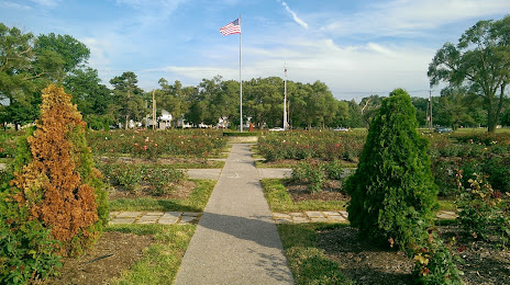
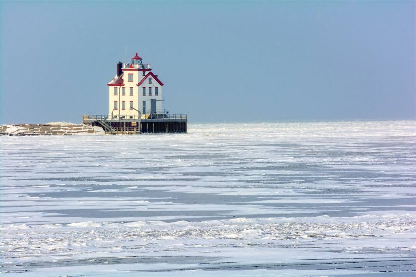
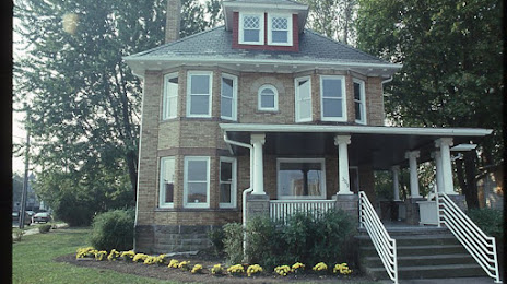
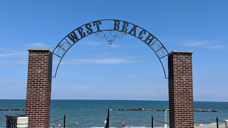
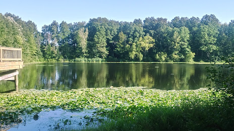
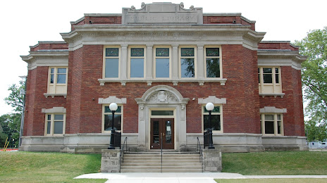
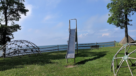
Attractions


Distance to the capital
Distance to the capital (Washington) is about — 521 km.