Formiga — Major Isidoro
Formiga — Guaraniaçu
Formiga — Altônia
Formiga — São José do Hortêncio
Formiga — Paranaguá
Formiga — Itambé
Formiga — Paraguaçu Paulista
Formiga — Passo de Camaragibe
Formiga — Santo Amaro
Formiga — Mandirituba
Formiga — Estrela
Formiga — Canaã dos Carajás
Formiga — Bananeiras
Formiga — Marília
Formiga — São Lourenço da Mata
Formiga — Itanhomi
Formiga — Queimados
Formiga — Tabatinga
Formiga — Foz do Iguacu
Oliveira
Oliveira
São João del Rei
Tiradentes
Dores de Campos
Barroso
Barbacena
Galego
Paiva
Rio Pomba
Astolfo Dutra
Leopoldina
Muriaé
Raposo
Itaperuna
Bom Jesus do Norte
Bom Jesus do Itabapoana
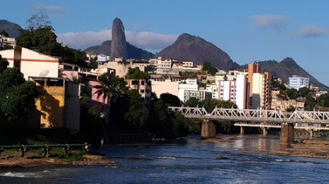
Formiga — Cachoeiro de Itapemirim distance, route on the map
Distance by car
Distance between Formiga, State of Minas Gerais, Brazil and Cachoeiro de Itapemirim, Espírito Santo, Brazil by car is — km, or miles. To travel this distance by car, you need minute, or h.
Route on the map, driving directions
Car route Formiga — Cachoeiro de Itapemirim was created automatically. The road on the map is shown as a blue line. By moving the markers, you can create a new route through the points you need.
Passing cities through which the car route passes: Carmo da Mata, Oliveira, Oliveira, São João del Rei, Tiradentes, Dores de Campos, Barroso, Barbacena, Galego, Paiva, Rio Pomba, Astolfo Dutra, Leopoldina, Muriaé, Raposo, Itaperuna, Bom Jesus do Norte, Bom Jesus do Itabapoana.
Distance by plane
If you decide to take a trip Formiga Cachoeiro de Itapemirim by plane, then you have to fly the distance — 450 km or 279 miles. It is marked on the map with a gray line (between two points in a straight line).
Flight time
Estimated flight time Formiga Cachoeiro de Itapemirim by plane at cruising speed 750 km / h will be — 36 min.
Direction of movement
Brazil, Formiga — right-hand traffic. Brazil, Cachoeiro de Itapemirim — right-hand traffic.
Difference in time
Formiga and Cachoeiro de Itapemirim are in the same time zone. Between them there is no time difference (UTC -3 America/Sao_Paulo).
Interesting Facts
Information on alternative ways to get to your destination.
The length of this distance is about 1.1% of the total length of the equator.
The cost of travel
Calculate the cost of the trip yourself using the fuel consumption calculator, changing the data in the table.