Roque Gonzales — Mallet
Roque Gonzales — Goianésia
Roque Gonzales — Quatro Pontes
Roque Gonzales — Moema
Roque Gonzales — Gouveia
Roque Gonzales — Figueira
Roque Gonzales — Breves
Roque Gonzales — Felício dos Santos
Roque Gonzales — Quinta do Sol
Roque Gonzales — Santos
Roque Gonzales — Cruz
Roque Gonzales — Encantado
Roque Gonzales — Crato
Roque Gonzales — Taquarituba
Roque Gonzales — Porecatu
Roque Gonzales — Farias Brito
Roque Gonzales — Rio Tinto
Roque Gonzales — Itapevi
Roque Gonzales — Marechal Cândido Rondon
Cerro Largo
Guarani das Missões
Sete de Setembro
Santo Ângelo
Ijuí
Panambi
Carazinho
Passo Fundo
Passo Fundo
Coxilha
Tapejara
Campos Novos
Campos Novos
St. Catarina
Pouso Redondo
Jalisco
Trombudo Central
Laurentino
Rio do Sul
Lontras
Ibirama
Ascurra
Rodeio
Indaial
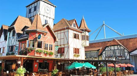
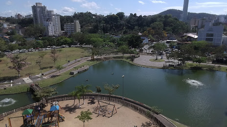
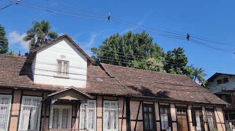
Roque Gonzales — Blumenau distance, route on the map
Distance by car
Distance between Roque Gonzales, State of Rio Grande do Sul, Brazil and Blumenau, State of Santa Catarina, Brazil by car is — km, or miles. To travel this distance by car, you need minute, or h.
Route on the map, driving directions
Car route Roque Gonzales — Blumenau was created automatically. The road on the map is shown as a blue line. By moving the markers, you can create a new route through the points you need.
Passing cities through which the car route passes: Roque Gonzales, Cerro Largo, Guarani das Missões, Sete de Setembro, Santo Ângelo, Ijuí, Panambi, Carazinho, Passo Fundo, Passo Fundo, Coxilha, Tapejara, Campos Novos, Campos Novos, St. Catarina, Pouso Redondo, Jalisco, Trombudo Central, Laurentino, Rio do Sul, Lontras, Ibirama, Ascurra, Rodeio, Indaial.
Distance by plane
If you decide to take a trip Roque Gonzales Blumenau by plane, then you have to fly the distance — 606 km or 376 miles. It is marked on the map with a gray line (between two points in a straight line).
Flight time
Estimated flight time Roque Gonzales Blumenau by plane at cruising speed 750 km / h will be — 48 min.
Direction of movement
Brazil, Roque Gonzales — right-hand traffic. Brazil, Blumenau — right-hand traffic.
Difference in time
Roque Gonzales and Blumenau are in the same time zone. Between them there is no time difference (UTC -3 America/Sao_Paulo).
Interesting Facts
Information on alternative ways to get to your destination.
The length of this distance is about 1.5% of the total length of the equator.
The cost of travel
Calculate the cost of the trip yourself using the fuel consumption calculator, changing the data in the table.