Jaguapitã — Brotas
Jaguapitã — Formiga
Jaguapitã — Pacaraima
Jaguapitã — Barra da Tijuca
Jaguapitã — Aceguá
Jaguapitã — Inhapi
Jaguapitã — Croá
Jaguapitã — Araruna
Jaguapitã — Valência
Jaguapitã — Quixabeira
Jaguapitã — Lindóia do Sul
Jaguapitã — Itamarati
Jaguapitã — Conceição das Alagoas
Jaguapitã — Jerônimo
Jaguapitã — Itiúba
Jaguapitã — Ramos
Jaguapitã — Quaraí
Jaguapitã — Rio Negrinho
Jaguapitã — Laranjeiras
Taciba
Regente Feijó
Presidente Prudente
Sagres
Osvaldo Cruz
Clementina
Penápolis
José Bonifácio
Jaci
Bady Bassitt
Sao Jose de Rio Preto
Olímpia
Barretos
Uberaba
Uberaba
Buritizeiro
Montes Claros
Curral de Dentro
Vitória da Conquista
Jequié
Santo Estêvão
Feira de Santana
Teodoro Sampaio
Alagoinhas
Entre Rios
Esplanada
Estância
São Cristóvão
Aracaju
Laranjeiras
Maruim
Igreja Nova
Junqueiro
São Miguel dos Campos
Pilar
Urubá
Rio Largo
Messias
Flexeiras
São Luís do Quitunde
Passo de Camaragibe
Porto Calvo
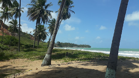
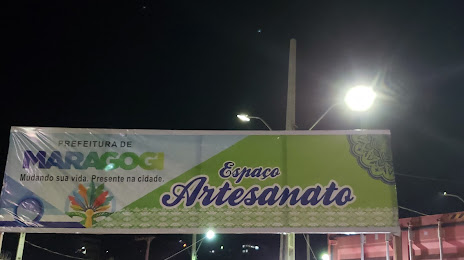
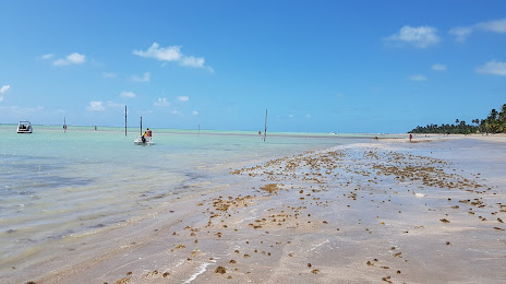
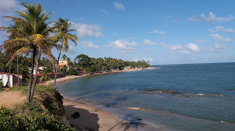
Jaguapitã — Maragogi distance, route on the map
Distance by car
Distance between Jaguapitã, State of Paraná, Brazil and Maragogi, Alagoas, Brazil by car is — km, or miles. To travel this distance by car, you need minute, or h.
Route on the map, driving directions
Car route Jaguapitã — Maragogi was created automatically. The road on the map is shown as a blue line. By moving the markers, you can create a new route through the points you need.
Passing cities through which the car route passes: Porecatu, Taciba, Regente Feijó, Presidente Prudente, Sagres, Osvaldo Cruz, Clementina, Penápolis, José Bonifácio, Jaci, Bady Bassitt, Sao Jose de Rio Preto, Olímpia, Barretos, Uberaba, Uberaba, Buritizeiro, Montes Claros, Curral de Dentro, Vitória da Conquista, Jequié, Santo Estêvão, Feira de Santana, Teodoro Sampaio, Alagoinhas, Entre Rios, Esplanada, Estância, São Cristóvão, Aracaju, Laranjeiras, Maruim, Igreja Nova, Junqueiro, São Miguel dos Campos, Pilar, Urubá, Rio Largo, Messias, Flexeiras, São Luís do Quitunde, Passo de Camaragibe, Porto Calvo.
Distance by plane
If you decide to take a trip Jaguapitã Maragogi by plane, then you have to fly the distance — 2341 km or 1451 miles. It is marked on the map with a gray line (between two points in a straight line).
Flight time
Estimated flight time Jaguapitã Maragogi by plane at cruising speed 750 km / h will be — 3 h. and 7 min.
Direction of movement
Brazil, Jaguapitã — right-hand traffic. Brazil, Maragogi — right-hand traffic.
Difference in time
Jaguapitã and Maragogi are in the same time zone. Between them there is no time difference (UTC -3 America/Sao_Paulo).
Interesting Facts
Information on alternative ways to get to your destination.
The length of this distance is about 5.8% of the total length of the equator.
The cost of travel
Calculate the cost of the trip yourself using the fuel consumption calculator, changing the data in the table.