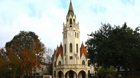
Ponta Grossa — Cardeal
Ponta Grossa — Ilhota
Ponta Grossa — Palmital
Ponta Grossa — Pantano Grande
Ponta Grossa — Taquaral
Ponta Grossa — Tibagi
Ponta Grossa — Guamiranga
Ponta Grossa — Coronel Murta
Ponta Grossa — Pitanga
Ponta Grossa — Imbituba
Ponta Grossa — Sem-Peixe
Ponta Grossa — Bairro Novo
Ponta Grossa — Ibirama
Ponta Grossa — Mairinque
Ponta Grossa — Itapevi
Ponta Grossa — Panelas
Ponta Grossa — Rafard
Ponta Grossa — São Martinho
Ponta Grossa — Conceição
Irati
Rio Azul
Mallet
Mallet
Paulo Frontin
União da Vitória
General Carneiro
Irani
Concórdia
Erechim
Getúlio Vargas
Coxilha
Passo Fundo
Passo Fundo
Capão do Valo
Ernestina
Soledade
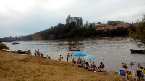
Candelária
Ponta Grossa — Cardeal
Ponta Grossa — Ilhota
Ponta Grossa — Palmital
Ponta Grossa — Pantano Grande
Ponta Grossa — Taquaral
Ponta Grossa — Tibagi
Ponta Grossa — Guamiranga
Ponta Grossa — Coronel Murta
Ponta Grossa — Pitanga
Ponta Grossa — Imbituba
Ponta Grossa — Sem-Peixe
Ponta Grossa — Bairro Novo
Ponta Grossa — Ibirama
Ponta Grossa — Mairinque
Ponta Grossa — Itapevi
Ponta Grossa — Panelas
Ponta Grossa — Rafard
Ponta Grossa — São Martinho
Ponta Grossa — Conceição
Irati
Rio Azul
Mallet
Mallet
Paulo Frontin
União da Vitória
General Carneiro
Irani
Concórdia
Erechim
Getúlio Vargas
Coxilha
Passo Fundo
Passo Fundo
Capão do Valo
Ernestina
Soledade
Candelária
Ponta Grossa — Cachoeira do Sul distance, route on the map
Distance by car
Distance between Ponta Grossa, State of Paraná, Brazil and Cachoeira do Sul, Rio Grande do Sul, Brazil by car is — km, or miles. To travel this distance by car, you need minute, or h.
Route on the map, driving directions
Car route Ponta Grossa — Cachoeira do Sul was created automatically. The road on the map is shown as a blue line. By moving the markers, you can create a new route through the points you need.
Passing cities through which the car route passes: Imbituva, Irati, Rio Azul, Mallet, Mallet, Paulo Frontin, União da Vitória, General Carneiro, Irani, Concórdia, Erechim, Getúlio Vargas, Coxilha, Passo Fundo, Passo Fundo, Capão do Valo, Ernestina, Soledade, Candelária.
Distance by plane
If you decide to take a trip Ponta Grossa Cachoeira do Sul by plane, then you have to fly the distance — 611 km or 379 miles. It is marked on the map with a gray line (between two points in a straight line).
Flight time
Estimated flight time Ponta Grossa Cachoeira do Sul by plane at cruising speed 750 km / h will be — 48 min.
Direction of movement
Brazil, Ponta Grossa — right-hand traffic. Brazil, Cachoeira do Sul — right-hand traffic.
Difference in time
Ponta Grossa and Cachoeira do Sul are in the same time zone. Between them there is no time difference (UTC -3 America/Sao_Paulo).
Interesting Facts
Information on alternative ways to get to your destination.
The length of this distance is about 1.5% of the total length of the equator.
The percentage of the population is clearly shown in the graph:
Ponta Grossa — 292,177, Cachoeira do Sul — 74,694 residents (less by 217,483).
The cost of travel
Calculate the cost of the trip yourself using the fuel consumption calculator, changing the data in the table.