
 Igollo
Cintruénigo
Benejúzar
Balboa
Cala
Cuesta
Flores de Ávila
Oria
Esplús
Algora
Ontinyent
Masquefa
El Burgo de Osma
Sant Andreu
Premià de Dalt
Santa Coloma de Gramenet
Arroyo de San Serván
Morata de Jalón
Sant Julià de Ramis
Igollo
Cintruénigo
Benejúzar
Balboa
Cala
Cuesta
Flores de Ávila
Oria
Esplús
Algora
Ontinyent
Masquefa
El Burgo de Osma
Sant Andreu
Premià de Dalt
Santa Coloma de Gramenet
Arroyo de San Serván
Morata de Jalón
Sant Julià de Ramis
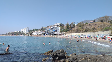
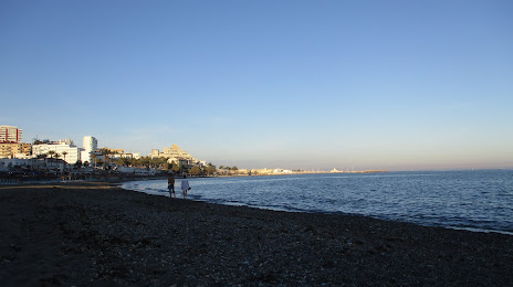
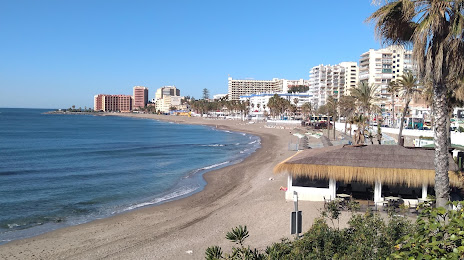
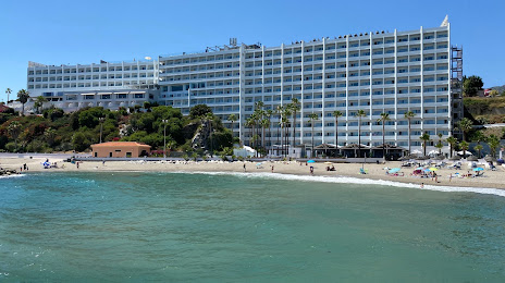
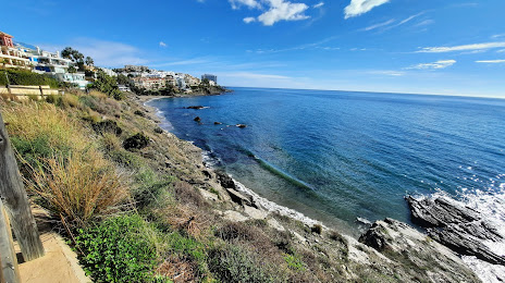
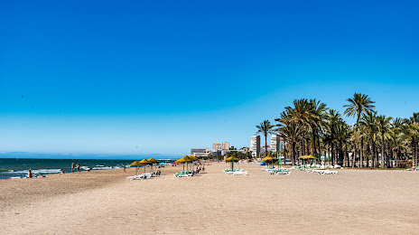
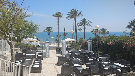
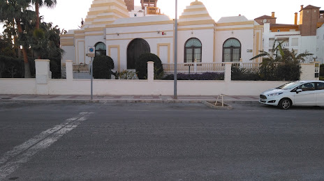
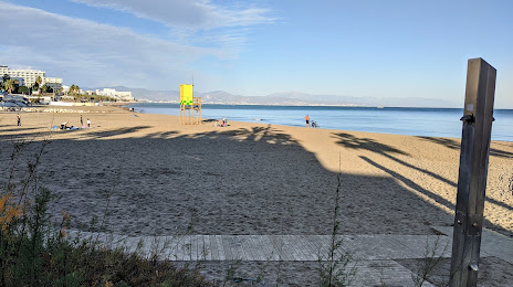
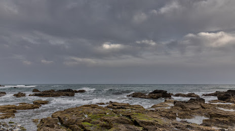
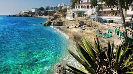
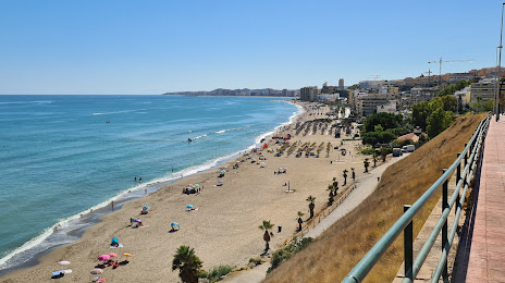
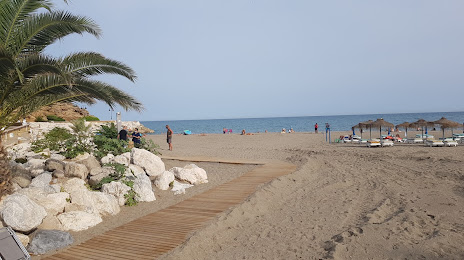
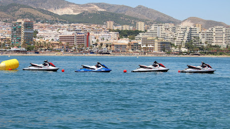
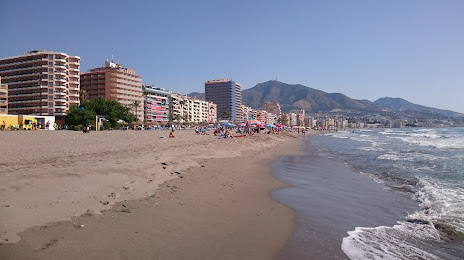
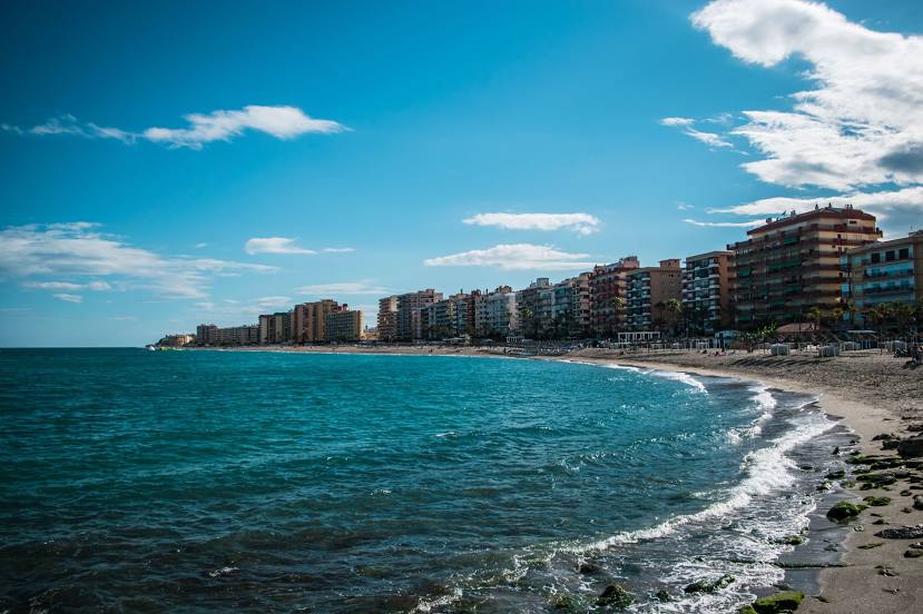
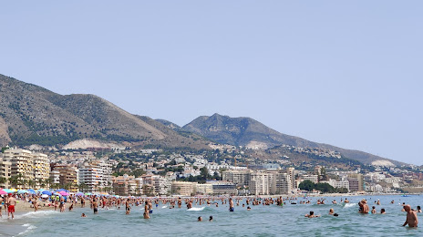
Benalmádena on the map, Spain
Where is located Benalmádena
Exact location — Benalmádena, Málaga, Andalucía, Spain, marked on the map with a red marker.
Coordinates
Benalmádena, Spain coordinates in decimal format: latitude — 36.5987966, longitude — -4.5168056. When converted to degrees, minutes, seconds Benalmádena has the following coordinates: 36°35′55.67 north latitude and -4°31′0.5 east longitude.
Population
Benalmádena, Málaga, Andalucía, Spain, according to our data the population is — 38,147 residents, which is about 0.1% of the total population of the country (Spain).
Comparison of the population on the graph:
Exact time
Time zone for this location Benalmádena — UTC +2 Europe/Madrid. Exact time — friday, 5 may 2024 year, 20 h. 48 minutes.
Sunrise and sunset
Benalmádena, sunrise and sunset data for a date — friday 17.05.2024.
| Sunrise | Sunset | Day (duration) |
|---|---|---|
| 07:12 -0 minutes | 21:16 -0 minutes | 14 h. 6 minutes. -0 minutes |
You can control the scale of the map using the auxiliary tools to find out exactly where it is located Benalmádena. When you change the scale of the map, the width of the ruler also changes (in kilometers and miles).
Nearby cities
The largest cities that are located nearby:
- Málaga — 9 km
- Marbella — 34 km
- Algeciras — 98 km
- Granada — 103 km
- Tetouan
 (Morocco) — 137 km
 - Jerez — 143 km
- Córdoba — 144 km
- Dos Hermanas — 145 km
- Jaén — 145 km
- Tangier (Morocco) — 150 km
- Cádiz — 158 km
- Almería — 184 km
- Nador (Morocco) — 213 km
- Huelva — 226 km
- Taounate (Morocco) — 228 km
- Taza (Morocco) — 267 km
- Meknes (Morocco) — 314 km
- Oujda (Morocco) — 317 km
- Kenitra (Morocco) — 321 km
Distance to neighboring capitals:
- Rabat (Morocco) — 361 km
- Lisbon
 (Portugal) — 470 km
 - Andorra la Vella
 (Andorra) — 836 km
 - Paris
 (France) — 1473 km
 - Paris (France) — 1473 km
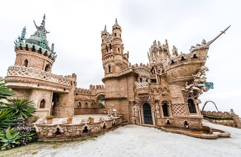
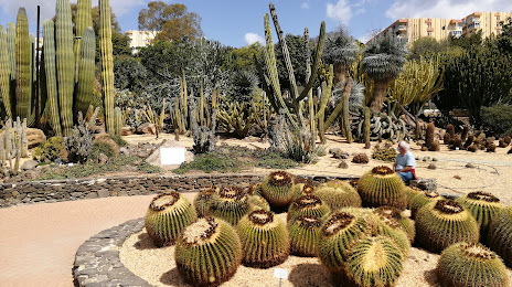
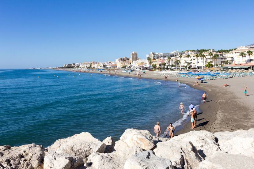
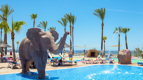
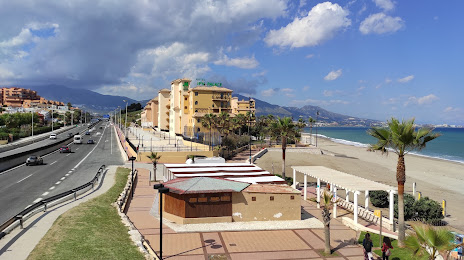
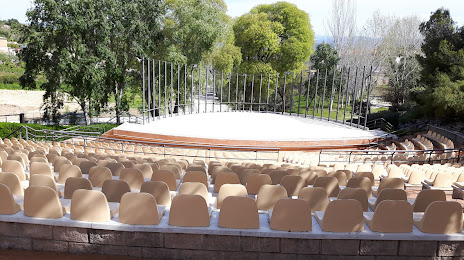
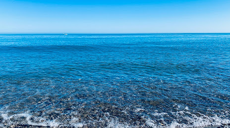
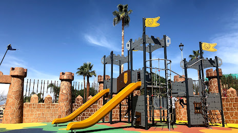
Attractions


Distance to the capital
Distance to the capital (Madrid) is about — 431 km.