Belo Horizonte — Juiz de Fora
Belo Horizonte — Agudo
Belo Horizonte — Divinolândia
Belo Horizonte — Parnaíba
Belo Horizonte — Engenheiro Paulo de Frontin
Belo Horizonte — Candelária
Belo Horizonte — Quitandinha
Belo Horizonte — Carlos Chagas
Belo Horizonte — Cândido de Abreu
Belo Horizonte — Balsa Nova
Belo Horizonte — Canoinhas
Belo Horizonte — São Miguel dos Milagres
Belo Horizonte — Dourados
Belo Horizonte — Pacoti
Belo Horizonte — Santo Antônio do Paraíso
Belo Horizonte — Canguaretama
Belo Horizonte — Leme
Belo Horizonte — Pacaraima
Belo Horizonte — Posse
Calafate
Contagem
Ribeirão das Neves
Ribeirão das Neves
Sete Lagoas
Paraopeba
Corinto
Montes Claros
Curral de Dentro
Vitória da Conquista
Jequié
Santo Estêvão
Feira de Santana
Santa Bárbara
Serrinha
Teofilândia
Araci
Tucano
Ribeira do Pombal
Cícero Dantas
Sítio das Chagas
Paulo Afonso
Delmiro Gouveia
Ibimirim
Monteiro
Serra Branca
Flour
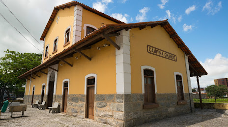
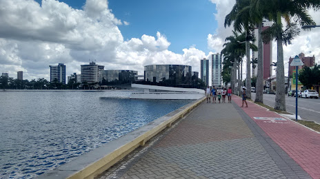
Belo Horizonte — Campina Grande distance, route on the map
Distance by car
Distance between Belo Horizonte, State of Minas Gerais, Brazil and Campina Grande, Paraíba, Brazil by car is — km, or miles. To travel this distance by car, you need minute, or h.
Route on the map, driving directions
Car route Belo Horizonte — Campina Grande was created automatically. The road on the map is shown as a blue line. By moving the markers, you can create a new route through the points you need.
Passing cities through which the car route passes: Prado, Calafate, Contagem, Ribeirão das Neves, Ribeirão das Neves, Sete Lagoas, Paraopeba, Corinto, Montes Claros, Curral de Dentro, Vitória da Conquista, Jequié, Santo Estêvão, Feira de Santana, Santa Bárbara, Serrinha, Teofilândia, Araci, Tucano, Ribeira do Pombal, Cícero Dantas, Sítio das Chagas, Paulo Afonso, Delmiro Gouveia, Ibimirim, Monteiro, Serra Branca, Flour.
Distance by plane
If you decide to take a trip Belo Horizonte Campina Grande by plane, then you have to fly the distance — 1659 km or 1029 miles. It is marked on the map with a gray line (between two points in a straight line).
Flight time
Estimated flight time Belo Horizonte Campina Grande by plane at cruising speed 750 km / h will be — 2 h. and 12 min.
Direction of movement
Brazil, Belo Horizonte — right-hand traffic. Brazil, Campina Grande — right-hand traffic.
Difference in time
Belo Horizonte and Campina Grande are in the same time zone. Between them there is no time difference (UTC -3 America/Sao_Paulo).
Interesting Facts
Information on alternative ways to get to your destination.
The length of this distance is about 4.1% of the total length of the equator.
The percentage of the population is clearly shown in the graph:
Belo Horizonte — 2,373,224, Campina Grande — 348,936 residents (less by 2,024,288).
The cost of travel
Calculate the cost of the trip yourself using the fuel consumption calculator, changing the data in the table.