Bountiful — Mildred
Bountiful — Giles County
Bountiful — Orrington
Bountiful — Eugene
Bountiful — Fillmore
Bountiful — Stevensburg
Bountiful — Deep River
Bountiful — Astor
Bountiful — Thatcher
Bountiful — Metamora
Bountiful — Rowlett
Bountiful — Goldsboro
Bountiful — Bridgewater
Bountiful — Varna
Bountiful — Montpellier
Bountiful — Port Sanilac
Bountiful — Brentford
Bountiful — Cameron
Bountiful — Hickory Flat
North Salt Lake
Red Lion-Sheraton Hotel Heliport
Salt Lake City
Magna
Wendover
West Wendover
Wells
Halleck
Elko
Carlin
Battle Mountain
Winnemucca
Imlay
Lovelock
Fernley
Sparks
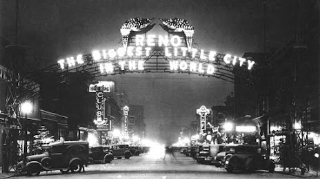
Bountiful — Reno distance, route on the map
Distance by car
Distance between Bountiful, Utah, United States and Reno, Nevada, United States by car is — km, or miles. To travel this distance by car, you need minute, or h.
Route on the map, driving directions
Car route Bountiful — Reno was created automatically. The road on the map is shown as a blue line. By moving the markers, you can create a new route through the points you need.
Passing cities through which the car route passes: Woods Cross, North Salt Lake, Red Lion-Sheraton Hotel Heliport, Salt Lake City, Magna, Wendover, West Wendover, Wells, Halleck, Elko, Carlin, Battle Mountain, Winnemucca, Imlay, Lovelock, Fernley, Sparks.
Distance by plane
If you decide to take a trip Bountiful Reno by plane, then you have to fly the distance — 690 km or 428 miles. It is marked on the map with a gray line (between two points in a straight line).
Flight time
Estimated flight time Bountiful Reno by plane at cruising speed 750 km / h will be — 55 min.
Direction of movement
United States, Bountiful — right-hand traffic. United States, Reno — right-hand traffic.
Difference in time
Bountiful and Reno are in different time zones. The time difference is 1 hour (UTC -6 America/Denver, UTC -7 America/Los_Angeles).
Interesting Facts
Information on alternative ways to get to your destination.
The length of this distance is about 1.7% of the total length of the equator.
The percentage of the population is clearly shown in the graph:
Bountiful — 42,552 (less by 159,590), Reno — 202,142 residents.
The cost of travel
Calculate the cost of the trip yourself using the fuel consumption calculator, changing the data in the table.