Rio Grande — Camanducaia
Rio Grande — Ferrugem
Rio Grande — Bay
Rio Grande — Lajedo
Rio Grande — Vilhena Airport
Rio Grande — Teixeiras
Rio Grande — Santa Maria do Pará
Rio Grande — Herval
Rio Grande — Cheers
Rio Grande — Quissamã
Rio Grande — Carmo de Minas
Rio Grande — Sertãozinho
Rio Grande — Rio Grande do Sul
Rio Grande — Jaguaretama
Rio Grande — São Domingos do Capim
Rio Grande — Val de Cans International Airport
Rio Grande — Derrubadas
Rio Grande — Santo Antônio do Grama
Rio Grande — Rio das Flores
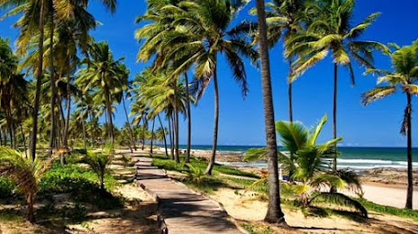
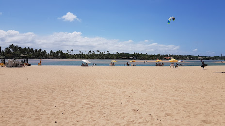
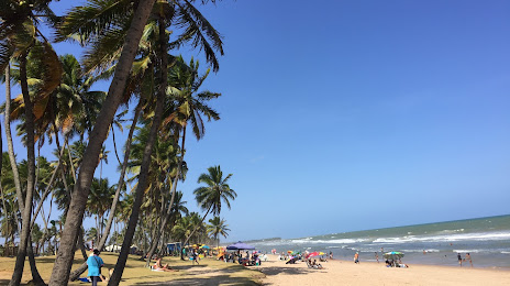
Rio Grande — Lauro de Freitas distance, route on the map
Distance by car
Distance between Rio Grande, State of Rio Grande do Sul, Brazil and Lauro de Freitas, Bahia, Brazil by car is — km, or miles. To travel this distance by car, you need minute, or h.
Route on the map, driving directions
Car route Rio Grande — Lauro de Freitas was created automatically. The road on the map is shown as a blue line. By moving the markers, you can create a new route through the points you need.
Distance by plane
If you decide to take a trip Rio Grande Lauro de Freitas by plane, then you have to fly the distance — 2596 km or 1610 miles. It is marked on the map with a gray line (between two points in a straight line).
Flight time
Estimated flight time Rio Grande Lauro de Freitas by plane at cruising speed 750 km / h will be — 3 h. and 27 min.
Direction of movement
Brazil, Rio Grande — right-hand traffic. Brazil, Lauro de Freitas — right-hand traffic.
Difference in time
Rio Grande and Lauro de Freitas are in the same time zone. Between them there is no time difference (UTC -3 America/Sao_Paulo).
Interesting Facts
Information on alternative ways to get to your destination.
The length of this distance is about 6.5% of the total length of the equator.
The percentage of the population is clearly shown in the graph:
Rio Grande — 187,838, Lauro de Freitas — 141,280 residents (less by 46,558).
The cost of travel
Calculate the cost of the trip yourself using the fuel consumption calculator, changing the data in the table.