 Little Flock
Nice
Reid
Welcome
Jacksonville
Avlon
Buffalo
Charter Township of Clinton
Wakefield
San Tan Valley
Lee County
Perea
Baldwin
Naranja
Valley County
Ellenwood
Lindsay
Barberton
Park County
Little Flock
Nice
Reid
Welcome
Jacksonville
Avlon
Buffalo
Charter Township of Clinton
Wakefield
San Tan Valley
Lee County
Perea
Baldwin
Naranja
Valley County
Ellenwood
Lindsay
Barberton
Park County
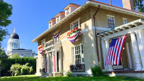
Augusta on the map, United States
Where is located Augusta
Exact location — Augusta, Kennebec County, Maine, United States, marked on the map with a red marker.
Coordinates
Augusta, United States coordinates in decimal format: latitude — 44.3106241, longitude — -69.7794897. When converted to degrees, minutes, seconds Augusta has the following coordinates: 44°18′38.25 north latitude and -69°46′46.16 east longitude.
Exact time
Time zone for this location Augusta — UTC -4 America/New_York. Exact time — friday, 4 april 2024 year, 23 h. 25 minutes.
Sunrise and sunset
Augusta, sunrise and sunset data for a date — friday 26.04.2024.
| Sunrise | Sunset | Day (duration) |
|---|---|---|
| 05:39 -2 minutes | 19:34 +2 minutes | 13 h. 54 minutes. +4 minutes |
You can control the scale of the map using the auxiliary tools to find out exactly where it is located Augusta. When you change the scale of the map, the width of the ruler also changes (in kilometers and miles).
Nearby cities
The largest cities that are located nearby:
- Manchester — 199 km
- Sherbrooke
 (Canada) — 203 km
 - Lowell — 224 km
- Boston — 240 km
- Cambridge — 240 km
- Worcester — 280 km
- Levis (Canada) — 291 km
- Quebec (Canada) — 297 km
- Providence — 306 km
- Trois-Rivières (Canada) — 308 km
- Amherst — 311 km
- Longueuil (Canada) — 319 km
- Montreal (Canada) — 322 km
- Springfield — 336 km
- Laval (Canada) — 336 km
- Hartford — 370 km
- Waterbury — 407 km
- New Haven — 423 km
- Bridgeport — 447 km
Distance to neighboring capitals:
- Ottawa (Canada) — 482 km
- Nuuk
 (Greenland) — 2481 km
 - Belmopan
 (Belize) — 3495 km
 - Guatemala City
 (Guatemala) — 3842 km
 - Mexico City
 (Mexico) — 3877 km
Attractions


Distance to the capital
Distance to the capital (Washington) is about — 851 km.