Luiziânia — Capão Alto
Luiziânia — Rolador
Luiziânia — Santa Bárbara D'Oeste
Luiziânia — Santa Helena
Luiziânia — Ibiam
Luiziânia — Irecê
Luiziânia — Americana
Luiziânia — Saltinho
Luiziânia — Porto da Folha
Luiziânia — Macedônia
Luiziânia — Anhumas
Luiziânia — Itamarati
Luiziânia — Rifaina
Luiziânia — Monte Alegre de Minas
Luiziânia — José Boiteux
Luiziânia — Santo Antônio da Patrulha
Luiziânia — Bela Vista
Luiziânia — Tijucas do Sul
Luiziânia — Santaluz
Promissão
Lins
Cafelândia
Pirajuí
Presidente Alves
Avaí
Bauru
Agudos
Lençóis Paulista
São Manuel
Botucatu
Pardinho
Cesário Lange
Boituva
Araçariguama
Itapevi
Jandira
Barueri
Carapicuiba
Osasco
Rochdale
Lapa
Centro
State of São Paulo
Tucuruvi
Guarulhos
Guarulhos
Sao Paulo International Airport
Sao Paulo International Airport
Arujá
Santa Isabel
Jacareí
São José dos Campos
Aeroporto Internacional de São José dos Campos - Professor Urbano Ernesto
Caçapava
Caçapava
Taubaté
Tremembé
Pindamonhangaba
Roseira
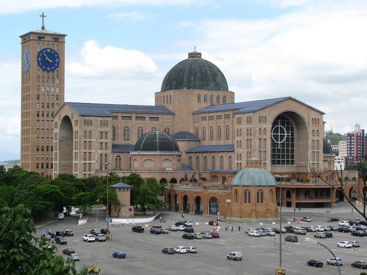
Luiziânia — Aparecida distance, route on the map
Distance by car
Distance between Luiziânia, State of São Paulo, Brazil and Aparecida, São Paulo, Brazil by car is — km, or miles. To travel this distance by car, you need minute, or h.
Route on the map, driving directions
Car route Luiziânia — Aparecida was created automatically. The road on the map is shown as a blue line. By moving the markers, you can create a new route through the points you need.
Passing cities through which the car route passes: Penápolis, Promissão, Lins, Cafelândia, Pirajuí, Presidente Alves, Avaí, Bauru, Agudos, Lençóis Paulista, São Manuel, Botucatu, Pardinho, Cesário Lange, Boituva, Araçariguama, Itapevi, Jandira, Barueri, Carapicuiba, Osasco, Rochdale, Lapa, Centro, State of São Paulo, Tucuruvi, Guarulhos, Guarulhos, Sao Paulo International Airport, Sao Paulo International Airport, Arujá, Santa Isabel, Jacareí, São José dos Campos, Aeroporto Internacional de São José dos Campos - Professor Urbano Ernesto, Caçapava, Caçapava, Taubaté, Tremembé, Pindamonhangaba, Roseira.
Distance by plane
If you decide to take a trip Luiziânia Aparecida by plane, then you have to fly the distance — 545 km or 338 miles. It is marked on the map with a gray line (between two points in a straight line).
Flight time
Estimated flight time Luiziânia Aparecida by plane at cruising speed 750 km / h will be — 43 min.
Direction of movement
Brazil, Luiziânia — right-hand traffic. Brazil, Aparecida — right-hand traffic.
Difference in time
Luiziânia and Aparecida are in the same time zone. Between them there is no time difference (UTC -3 America/Sao_Paulo).
Interesting Facts
Information on alternative ways to get to your destination.
The length of this distance is about 1.4% of the total length of the equator.
The cost of travel
Calculate the cost of the trip yourself using the fuel consumption calculator, changing the data in the table.