Luiziânia — Presidente Bernardes
Luiziânia — Cabo Frio
Luiziânia — Corbélia
Luiziânia — Praia Grande
Luiziânia — Amapá
Luiziânia — State of Paraná
Luiziânia — Paranaguá
Luiziânia — Porto Seguro
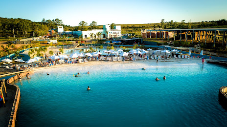
Luiziânia — Spa Esmeralda
Luiziânia — Nova Alvorada
Luiziânia — Forquilhinha
Luiziânia — Riozinho
Luiziânia — Graça
Luiziânia — Candelária
Luiziânia — Ribeirão das Neves
Luiziânia — Garibaldi
Luiziânia — Rafael Jambeiro
Luiziânia — Araras
Luiziânia — Taboão da Serra
Luiziânia — Presidente Bernardes
Luiziânia — Cabo Frio
Luiziânia — Corbélia
Luiziânia — Praia Grande
Luiziânia — Amapá
Luiziânia — State of Paraná
Luiziânia — Paranaguá
Luiziânia — Porto Seguro
Luiziânia — Spa Esmeralda
Luiziânia — Nova Alvorada
Luiziânia — Forquilhinha
Luiziânia — Riozinho
Luiziânia — Graça
Luiziânia — Candelária
Luiziânia — Ribeirão das Neves
Luiziânia — Garibaldi
Luiziânia — Rafael Jambeiro
Luiziânia — Araras
Luiziânia — Taboão da Serra
Luiziânia — Santana do Livramento distance, route on the map
Distance by car
Distance between Luiziânia, State of São Paulo, Brazil and Santana do Livramento, Rio Grande do Sul, Brazil by car is — km, or miles. To travel this distance by car, you need minute, or h.
Route on the map, driving directions
Car route Luiziânia — Santana do Livramento was created automatically. The road on the map is shown as a blue line. By moving the markers, you can create a new route through the points you need.
Distance by plane
If you decide to take a trip Luiziânia Santana do Livramento by plane, then you have to fly the distance — 1146 km or 711 miles. It is marked on the map with a gray line (between two points in a straight line).
Flight time
Estimated flight time Luiziânia Santana do Livramento by plane at cruising speed 750 km / h will be — 1 h. and 31 min.
Direction of movement
Brazil, Luiziânia — right-hand traffic. Brazil, Santana do Livramento — right-hand traffic.
Difference in time
Luiziânia and Santana do Livramento are in the same time zone. Between them there is no time difference (UTC -3 America/Sao_Paulo).
Interesting Facts
Information on alternative ways to get to your destination.
The length of this distance is about 2.9% of the total length of the equator.
The cost of travel
Calculate the cost of the trip yourself using the fuel consumption calculator, changing the data in the table.