Humacao — Coamo
Humacao — Bayamón
Humacao — Sabana Grande
Humacao — Naguabo
Humacao — Cabo Rojo
Humacao — Adjuntas
Humacao — Ciales
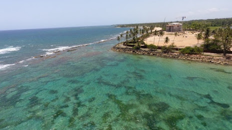
Humacao — Palmas del Mar
Humacao — Loíza
Humacao — Fajardo
Humacao — Aibonito
Humacao — Loíza
Humacao — San Juan
Humacao — Toa Alta
Humacao — Isabela
Humacao — Carolina
Humacao — Vega Baja
Humacao — Peña Pobre
Humacao — Hope
Juncos
Humacao — Coamo
Humacao — Bayamón
Humacao — Sabana Grande
Humacao — Naguabo
Humacao — Cabo Rojo
Humacao — Adjuntas
Humacao — Ciales
Humacao — Palmas del Mar
Humacao — Loíza
Humacao — Fajardo
Humacao — Aibonito
Humacao — Loíza
Humacao — San Juan
Humacao — Toa Alta
Humacao — Isabela
Humacao — Carolina
Humacao — Vega Baja
Humacao — Peña Pobre
Humacao — Hope
Juncos  Juncos
Gurabo
Bairoa
Bairoa
Caimito
Monacillo
San Juan
Hato Rey Norte
Pueblo Viejo
Levittown
Campanilla
Maguayo
Vega Alta
Vega Alta
Almirante Norte
Juncos
Juncos
Gurabo
Bairoa
Bairoa
Caimito
Monacillo
San Juan
Hato Rey Norte
Pueblo Viejo
Levittown
Campanilla
Maguayo
Vega Alta
Vega Alta
Almirante Norte
Humacao — Vega Baja distance, route on the map
Distance by car
Distance between Humacao, Humacao, Puerto Rico and Vega Baja, Vega Baja, Puerto Rico by car is — km, or miles. To travel this distance by car, you need minute, or h.
Route on the map, driving directions
Car route Humacao — Vega Baja was created automatically. The road on the map is shown as a blue line. By moving the markers, you can create a new route through the points you need.
Passing cities through which the car route passes: Humacao, Juncos (us), Juncos, Juncos, Gurabo, Bairoa, Bairoa, Caimito, Monacillo, San Juan, Hato Rey Norte, Pueblo Viejo, Levittown, Campanilla, Maguayo, Vega Alta, Vega Alta, Almirante Norte.
Distance by plane
If you decide to take a trip Humacao Vega Baja by plane, then you have to fly the distance — 68 km or 42 miles. It is marked on the map with a gray line (between two points in a straight line).
Flight time
Estimated flight time Humacao Vega Baja by plane at cruising speed 750 km / h will be — 5 min.
Direction of movement
Puerto Rico, Humacao — right-hand traffic. Puerto Rico, Vega Baja — right-hand traffic.
Difference in time
Humacao and Vega Baja are in the same time zone. Between them there is no time difference (UTC -4 America/Puerto_Rico).
Interesting Facts
Information on alternative ways to get to your destination.
The length of this distance is about 0.2% of the total length of the equator.
The percentage of the population is clearly shown in the graph:
Humacao — 20,387 (less by 8,938), Vega Baja — 29,325 residents.
The cost of travel
Calculate the cost of the trip yourself using the fuel consumption calculator, changing the data in the table.