Akis' — Tsotsin-Yurt
Akis' — Khodakovskiy
Akis' — Osinniki
Akis' — Snezhnogorsk
Akis' — Alexandrovskoye
Akis' — Ayat'
Akis' — Zheleznogorsk
Akis' — Muratovo
Akis' — Severskiy
Akis' — Myski
Akis' — Malakhovka
Akis' — Gramoteino
Akis' — Lekarstvennoye
Akis' — Beregowoje
Akis' — Pervomayskiy
Akis' — Balabanovo
Akis' — Duminichi
Akis' — Svoboda
Akis' — Keptin
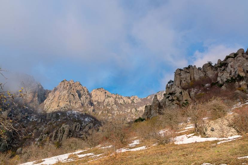
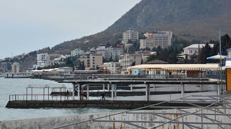
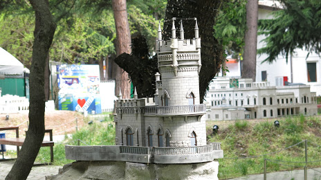
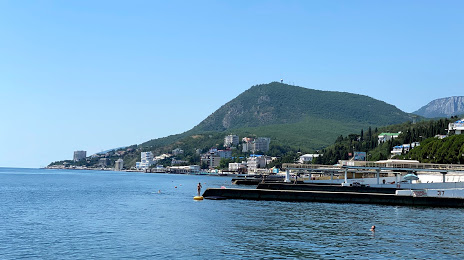
Akis' — Alushta distance, route on the map
Distance by car
Distance between Akis', Komi Republits, Russian Federation and Alushta, Crimea by car is — km, or miles. To travel this distance by car, you need minute, or h.
Route on the map, driving directions
Car route Akis' — Alushta was created automatically. The road on the map is shown as a blue line. By moving the markers, you can create a new route through the points you need.
Distance by plane
If you decide to take a trip Akis' Alushta by plane, then you have to fly the distance — 2713 km or 1682 miles. It is marked on the map with a gray line (between two points in a straight line).
Flight time
Estimated flight time Akis' Alushta by plane at cruising speed 750 km / h will be — 3 h. and 37 min.
Direction of movement
Russian Federation, Akis' — right-hand traffic. Alushta — right-hand traffic.
Difference in time
Akis' and Alushta are in the same time zone. Between them there is no time difference (UTC +3 Europe/Moscow).
Interesting Facts
Information on alternative ways to get to your destination.
The length of this distance is about 6.8% of the total length of the equator.
The cost of travel
Calculate the cost of the trip yourself using the fuel consumption calculator, changing the data in the table.