Labenne — Mende
Labenne — Saint-Brice-en-Coglès
Labenne — Sucé-sur-Erdre
Labenne — Calvados
Labenne — Sadroc
Labenne — Mazières-en-Mauges
Labenne — Sarrogna
Labenne — Le Touvet
Labenne — Verfeil
Labenne — Saulon-la-Chapelle
Labenne — Saint-Sulpice-le-Verdon
Labenne — Étainhus
Labenne — Ichtratzheim
Labenne — Kienheim
Labenne — Glanes
Labenne — Saint-Fromond
Labenne — Lachapelle-Auzac
Labenne — Fargues
Labenne — Noyant-d'Allier
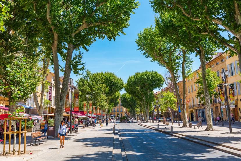
Labenne — Aix-en-Provence distance, route on the map
Distance by car
Distance between Labenne, Nouvelle-Aquitaine, France and Aix-en-Provence, Provence-Alpes-Côte d'Azur, France by car is — km, or miles. To travel this distance by car, you need minute, or h.
Route on the map, driving directions
Car route Labenne — Aix-en-Provence was created automatically. The road on the map is shown as a blue line. By moving the markers, you can create a new route through the points you need.
Distance by plane
If you decide to take a trip Labenne Aix-en-Provence by plane, then you have to fly the distance — 554 km or 343 miles. It is marked on the map with a gray line (between two points in a straight line).
Flight time
Estimated flight time Labenne Aix-en-Provence by plane at cruising speed 750 km / h will be — 44 min.
Direction of movement
France, Labenne — right-hand traffic. France, Aix-en-Provence — right-hand traffic.
Difference in time
Labenne and Aix-en-Provence are in the same time zone. Between them there is no time difference (UTC +2 Europe/Paris).
Interesting Facts
Information on alternative ways to get to your destination.
The length of this distance is about 1.4% of the total length of the equator.
The percentage of the population is clearly shown in the graph:
Labenne — 3,633 (less by 138,500), Aix-en-Provence — 142,133 residents.
The cost of travel
Calculate the cost of the trip yourself using the fuel consumption calculator, changing the data in the table.