Três Marias — Governador Jorge Teixeira
Três Marias — Não-Me-Toque
Três Marias — Ceará
Três Marias — Paraibuna
Três Marias — Cupira
Três Marias — Vinhedo
Três Marias — Ouro Preto do Oeste
Três Marias — Virgínia
Três Marias — Trajano de Morais
Três Marias — Santana do Acaraú
Três Marias — Aurora
Três Marias — Paraipaba
Três Marias — Itumbiara
Três Marias — Icó
Três Marias — Itabirito
Três Marias — Arroio Trinta
Três Marias — Vicentina
Três Marias — Campo Mourão
Três Marias — Salto Grande
Sete Lagoas
Ribeirão das Neves
Ribeirão das Neves
Contagem
Calafate
Prado
Jaraguá
Sabará
Nova União
João Monlevade
São Domingos do Prata
São Domingos do Prata
Rio Casca
Santo Antônio do Grama
Abre Campo
Martins Soares
Irupi
Ibatiba
Conceição do Castelo
Venda Nova do Imigrante
Marechal Floriano
Domingos Martins
Viana
Viana
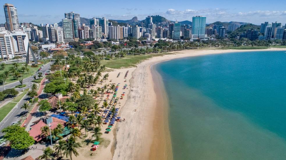
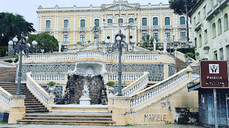
Três Marias — Vila Velha distance, route on the map
Distance by car
Distance between Três Marias, State of Minas Gerais, Brazil and Vila Velha, Espírito Santo, Brazil by car is — km, or miles. To travel this distance by car, you need minute, or h.
Route on the map, driving directions
Car route Três Marias — Vila Velha was created automatically. The road on the map is shown as a blue line. By moving the markers, you can create a new route through the points you need.
Passing cities through which the car route passes: Paraopeba, Sete Lagoas, Ribeirão das Neves, Ribeirão das Neves, Contagem, Calafate, Prado, Jaraguá, Sabará, Nova União, João Monlevade, São Domingos do Prata, São Domingos do Prata, Rio Casca, Santo Antônio do Grama, Abre Campo, Martins Soares, Irupi, Ibatiba, Conceição do Castelo, Venda Nova do Imigrante, Marechal Floriano, Domingos Martins, Viana, Viana.
Distance by plane
If you decide to take a trip Três Marias Vila Velha by plane, then you have to fly the distance — 570 km or 353 miles. It is marked on the map with a gray line (between two points in a straight line).
Flight time
Estimated flight time Três Marias Vila Velha by plane at cruising speed 750 km / h will be — 45 min.
Direction of movement
Brazil, Três Marias — right-hand traffic. Brazil, Vila Velha — right-hand traffic.
Difference in time
Três Marias and Vila Velha are in the same time zone. Between them there is no time difference (UTC -3 America/Sao_Paulo).
Interesting Facts
Information on alternative ways to get to your destination.
The length of this distance is about 1.4% of the total length of the equator.
The cost of travel
Calculate the cost of the trip yourself using the fuel consumption calculator, changing the data in the table.