 Forsan
Butternut
Peterson
Alger
Westville
Wevok
San Juan
Banner
Pocahontas County
Manda
Black Rock
Boston
Cisco
Yolo County
MacArthur
McClellan-Palomar Airport
LA/Ontario International Airport
University
Grant County
Forsan
Butternut
Peterson
Alger
Westville
Wevok
San Juan
Banner
Pocahontas County
Manda
Black Rock
Boston
Cisco
Yolo County
MacArthur
McClellan-Palomar Airport
LA/Ontario International Airport
University
Grant County
Goodyear on the map, United States
Where is located Goodyear
Exact location — Goodyear, Maricopa County, Arizona, United States, marked on the map with a red marker.
Coordinates
Goodyear, United States coordinates in decimal format: latitude — 33.4353394, longitude — -112.3576567. When converted to degrees, minutes, seconds Goodyear has the following coordinates: 33°26′7.22 north latitude and -112°21′27.56 east longitude.
Population
Goodyear, Maricopa County, Arizona, United States, according to our data the population is — 65,275 residents, which is about 0% of the total population of the country (United States).
Comparison of the population on the graph:
Exact time
Time zone for this location Goodyear — UTC -7 America/Phoenix. Exact time — thursday, 4 april 2024 year, 18 h. 24 minutes.
Sunrise and sunset
Goodyear, sunrise and sunset data for a date — thursday 25.04.2024.
| Sunrise | Sunset | Day (duration) |
|---|---|---|
| 05:49 -1 minute | 19:05 +1 minute | 13 h. 18 minutes. +2 minutes |
You can control the scale of the map using the auxiliary tools to find out exactly where it is located Goodyear. When you change the scale of the map, the width of the ruler also changes (in kilometers and miles).
Nearby cities
The largest cities that are located nearby:
- Peoria — 20 km
- Glendale — 20 km
- Phoenix — 26 km
- Tempe — 39 km
- Scottsdale — 40 km
- Mesa — 49 km
- Chandler — 50 km
- Gilbert — 53 km
- Tucson — 190 km
- San Luis Río Colorado
 (Mexico) — 250 km
 - Nogales — 268 km
- Mexicali (Mexico) — 302 km
- Henderson — 371 km
- Las Vegas — 391 km
- Spring Valley — 392 km
- North Las Vegas — 392 km
- Ensenada (Mexico) — 435 km
- Escondido — 439 km
- Tijuana (Mexico) — 448 km
Distance to neighboring capitals:
- Mexico City (Mexico) — 2036 km
- Belmopan
 (Belize) — 2964 km
 - Guatemala City
 (Guatemala) — 3036 km
 - Ottawa
 (Canada) — 3384 km
 - Nuuk
 (Greenland) — 5294 km
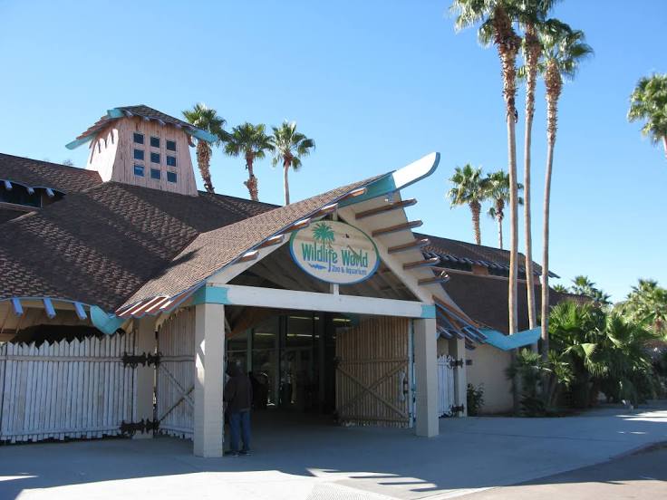
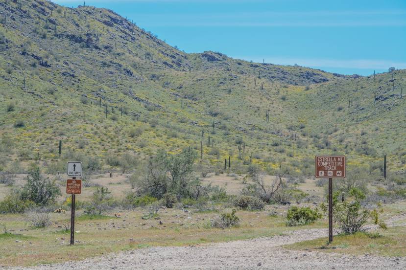
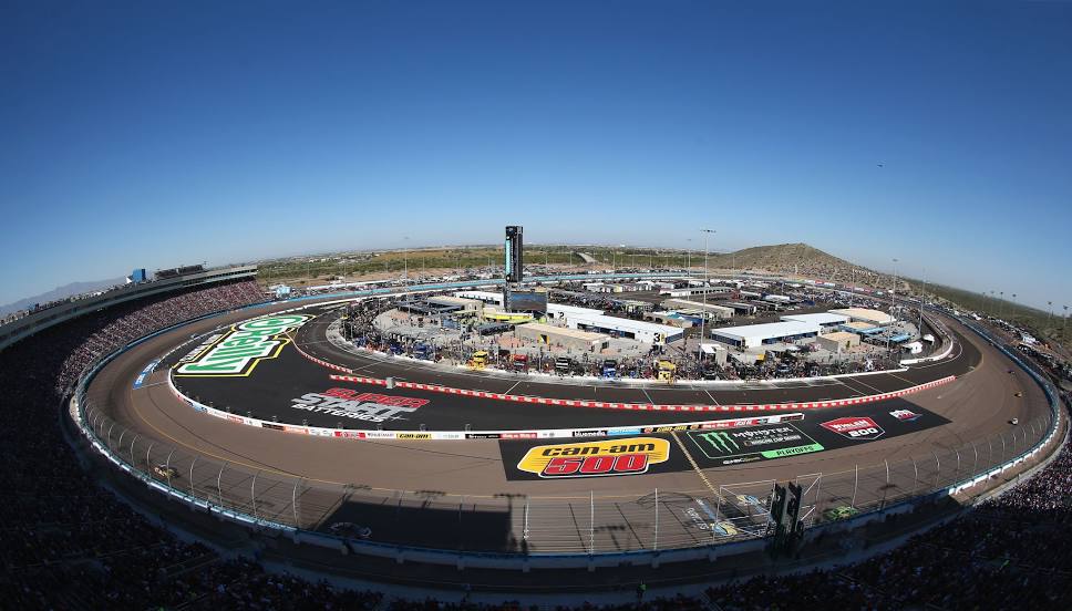
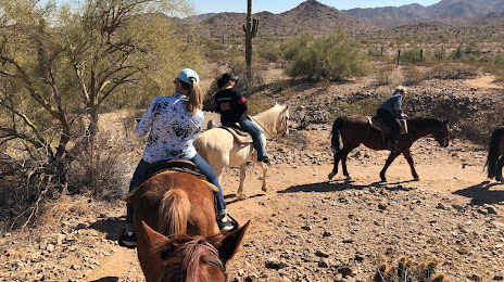
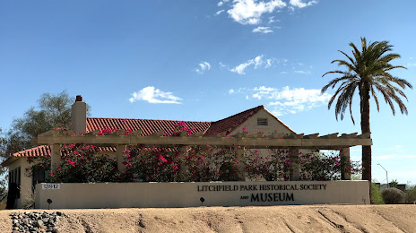
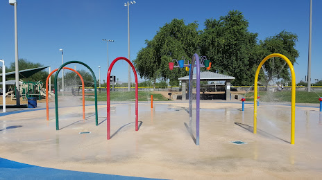
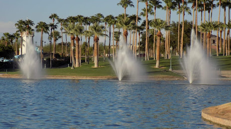
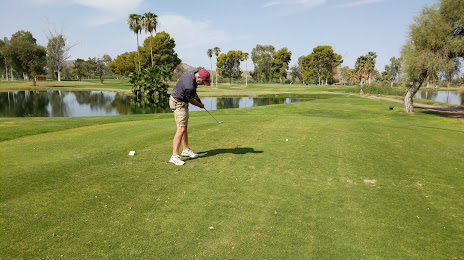
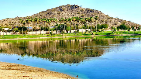
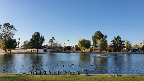
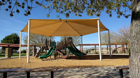
Attractions


Distance to the capital
Distance to the capital (Washington) is about — 3209 km.