São Bento do Sul — Barras
São Bento do Sul — Amarante
São Bento do Sul — Laurinha
São Bento do Sul — Itanhandu
São Bento do Sul — Canal Torto
São Bento do Sul — Ipubi
São Bento do Sul — Bom Jesus do Norte
São Bento do Sul — Ji-Paraná
São Bento do Sul — Belo Oriente
São Bento do Sul — Indiaroba
São Bento do Sul — Viadutos
São Bento do Sul — Goianésia
São Bento do Sul — Teixeiras
São Bento do Sul — Presidente Venceslau
São Bento do Sul — Ilhéus
São Bento do Sul — Álvares Machado
São Bento do Sul — Ferreiros
São Bento do Sul — Serrana
São Bento do Sul — Pinhais
Guaramirim
São João do Itaperiú
Barra Velha
Piçarras
Itajaí
Itajaí
Camboriú
Camboriú
Itapema
Itapema
Meia Praia
Tijucas
Governador Celso Ramos
Biguaçu
São José
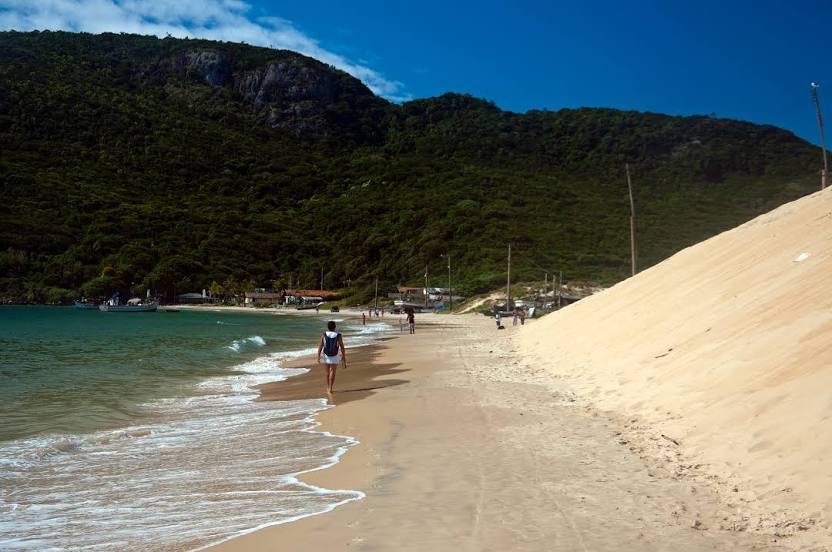
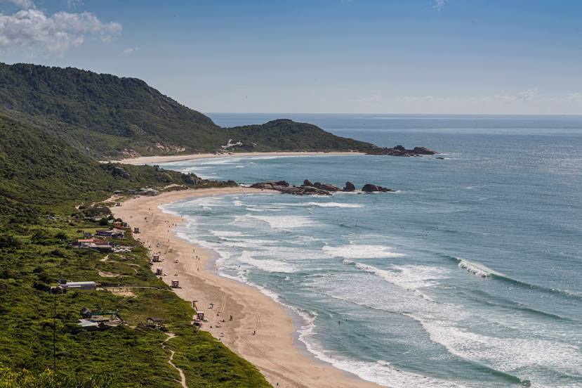
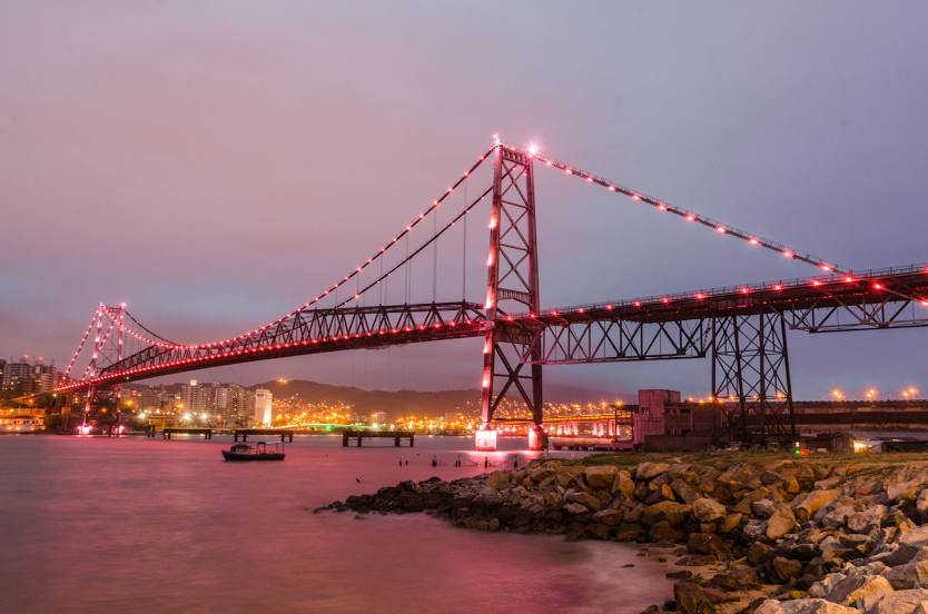
Florianópolis
São Bento do Sul — Barras
São Bento do Sul — Amarante
São Bento do Sul — Laurinha
São Bento do Sul — Itanhandu
São Bento do Sul — Canal Torto
São Bento do Sul — Ipubi
São Bento do Sul — Bom Jesus do Norte
São Bento do Sul — Ji-Paraná
São Bento do Sul — Belo Oriente
São Bento do Sul — Indiaroba
São Bento do Sul — Viadutos
São Bento do Sul — Goianésia
São Bento do Sul — Teixeiras
São Bento do Sul — Presidente Venceslau
São Bento do Sul — Ilhéus
São Bento do Sul — Álvares Machado
São Bento do Sul — Ferreiros
São Bento do Sul — Serrana
São Bento do Sul — Pinhais
Guaramirim
São João do Itaperiú
Barra Velha
Piçarras
Itajaí
Itajaí
Camboriú
Camboriú
Itapema
Itapema
Meia Praia
Tijucas
Governador Celso Ramos
Biguaçu
São José
Florianópolis
São Bento do Sul — Florianópolis distance, route on the map
Distance by car
Distance between São Bento do Sul, State of Santa Catarina, Brazil and Florianópolis, Santa Catarina, Brazil by car is — km, or miles. To travel this distance by car, you need minute, or h.
Route on the map, driving directions
Car route São Bento do Sul — Florianópolis was created automatically. The road on the map is shown as a blue line. By moving the markers, you can create a new route through the points you need.
Passing cities through which the car route passes: Jaraguá do Sul, Guaramirim, São João do Itaperiú, Barra Velha, Piçarras, Itajaí, Itajaí, Camboriú, Camboriú, Itapema, Itapema, Meia Praia, Tijucas, Governador Celso Ramos, Biguaçu, São José, Florianópolis.
Distance by plane
If you decide to take a trip São Bento do Sul Florianópolis by plane, then you have to fly the distance — 162 km or 100 miles. It is marked on the map with a gray line (between two points in a straight line).
Flight time
Estimated flight time São Bento do Sul Florianópolis by plane at cruising speed 750 km / h will be — 12 min.
Direction of movement
Brazil, São Bento do Sul — right-hand traffic. Brazil, Florianópolis — right-hand traffic.
Difference in time
São Bento do Sul and Florianópolis are in the same time zone. Between them there is no time difference (UTC -3 America/Sao_Paulo).
Interesting Facts
Information on alternative ways to get to your destination.
The length of this distance is about 0.4% of the total length of the equator.
The percentage of the population is clearly shown in the graph:
São Bento do Sul — 77,597 (less by 335,127), Florianópolis — 412,724 residents.
The cost of travel
Calculate the cost of the trip yourself using the fuel consumption calculator, changing the data in the table.