São Bento do Sul — Baixo Guandu
São Bento do Sul — Ipiaú
São Bento do Sul — Irecê
São Bento do Sul — Upanema
São Bento do Sul — Morro Agudo
São Bento do Sul — Amapá
São Bento do Sul — Iraquara
São Bento do Sul — Martinho Campos
São Bento do Sul — Sidrolândia
São Bento do Sul — Bom Amigo
São Bento do Sul — São Domingos do Capim
São Bento do Sul — Pinhal da Serra
São Bento do Sul — Armação dos Búzios
São Bento do Sul — Visconde de Mauá
São Bento do Sul — Serra Azul de Minas
São Bento do Sul — Morro Grande
São Bento do Sul — Cruzeiro do Sul
São Bento do Sul — Araucária
São Bento do Sul — Belmiro Braga
Guaramirim
São João do Itaperiú
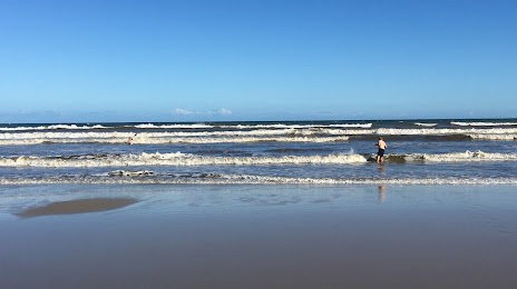
Barra Velha
Piçarras
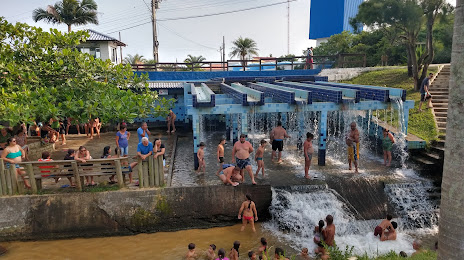
Itajaí
Itajaí
Camboriú
Camboriú
Itapema
Itapema
Meia Praia
Tijucas
Governador Celso Ramos
Biguaçu
São José
Palhoça
Guarda do Embaú
Paulo Lopes
Ibiraquera
Imbituba
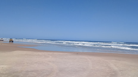
Laguna
Tubarão
Tubarão
São Bento do Sul — Baixo Guandu
São Bento do Sul — Ipiaú
São Bento do Sul — Irecê
São Bento do Sul — Upanema
São Bento do Sul — Morro Agudo
São Bento do Sul — Amapá
São Bento do Sul — Iraquara
São Bento do Sul — Martinho Campos
São Bento do Sul — Sidrolândia
São Bento do Sul — Bom Amigo
São Bento do Sul — São Domingos do Capim
São Bento do Sul — Pinhal da Serra
São Bento do Sul — Armação dos Búzios
São Bento do Sul — Visconde de Mauá
São Bento do Sul — Serra Azul de Minas
São Bento do Sul — Morro Grande
São Bento do Sul — Cruzeiro do Sul
São Bento do Sul — Araucária
São Bento do Sul — Belmiro Braga
Guaramirim
São João do Itaperiú
Barra Velha
Piçarras
Itajaí
Itajaí
Camboriú
Camboriú
Itapema
Itapema
Meia Praia
Tijucas
Governador Celso Ramos
Biguaçu
São José
Palhoça
Guarda do Embaú
Paulo Lopes
Ibiraquera
Imbituba
Laguna
Tubarão
Tubarão
São Bento do Sul — Jaguaruna distance, route on the map
Distance by car
Distance between São Bento do Sul, State of Santa Catarina, Brazil and Jaguaruna, Santa Catarina, Brazil by car is — km, or miles. To travel this distance by car, you need minute, or h.
Route on the map, driving directions
Car route São Bento do Sul — Jaguaruna was created automatically. The road on the map is shown as a blue line. By moving the markers, you can create a new route through the points you need.
Passing cities through which the car route passes: Jaraguá do Sul, Guaramirim, São João do Itaperiú, Barra Velha, Piçarras, Itajaí, Itajaí, Camboriú, Camboriú, Itapema, Itapema, Meia Praia, Tijucas, Governador Celso Ramos, Biguaçu, São José, Palhoça, Guarda do Embaú, Paulo Lopes, Ibiraquera, Imbituba, Laguna, Tubarão, Tubarão.
Distance by plane
If you decide to take a trip São Bento do Sul Jaguaruna by plane, then you have to fly the distance — 259 km or 161 miles. It is marked on the map with a gray line (between two points in a straight line).
Flight time
Estimated flight time São Bento do Sul Jaguaruna by plane at cruising speed 750 km / h will be — 20 min.
Direction of movement
Brazil, São Bento do Sul — right-hand traffic. Brazil, Jaguaruna — right-hand traffic.
Difference in time
São Bento do Sul and Jaguaruna are in the same time zone. Between them there is no time difference (UTC -3 America/Sao_Paulo).
Interesting Facts
Information on alternative ways to get to your destination.
The length of this distance is about 0.6% of the total length of the equator.
The percentage of the population is clearly shown in the graph:
São Bento do Sul — 77,597, Jaguaruna — 11,650 residents (less by 65,947).
The cost of travel
Calculate the cost of the trip yourself using the fuel consumption calculator, changing the data in the table.